Field Trip Reconnoiter
/I’ve been busy working on the curriculum of the core training to be offered next fall by my local Missouri Master Naturalist chapter. One of the field trips we had added to the curriculum was unfamiliar to everyone….but had been one the places featured in a 2025 Ozark Public Television production called Wild Ozarks. Four of us participated in a reconnoiter trip to the place last week.
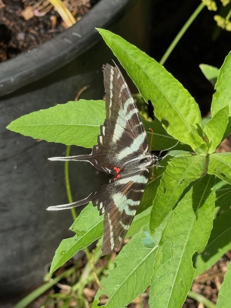
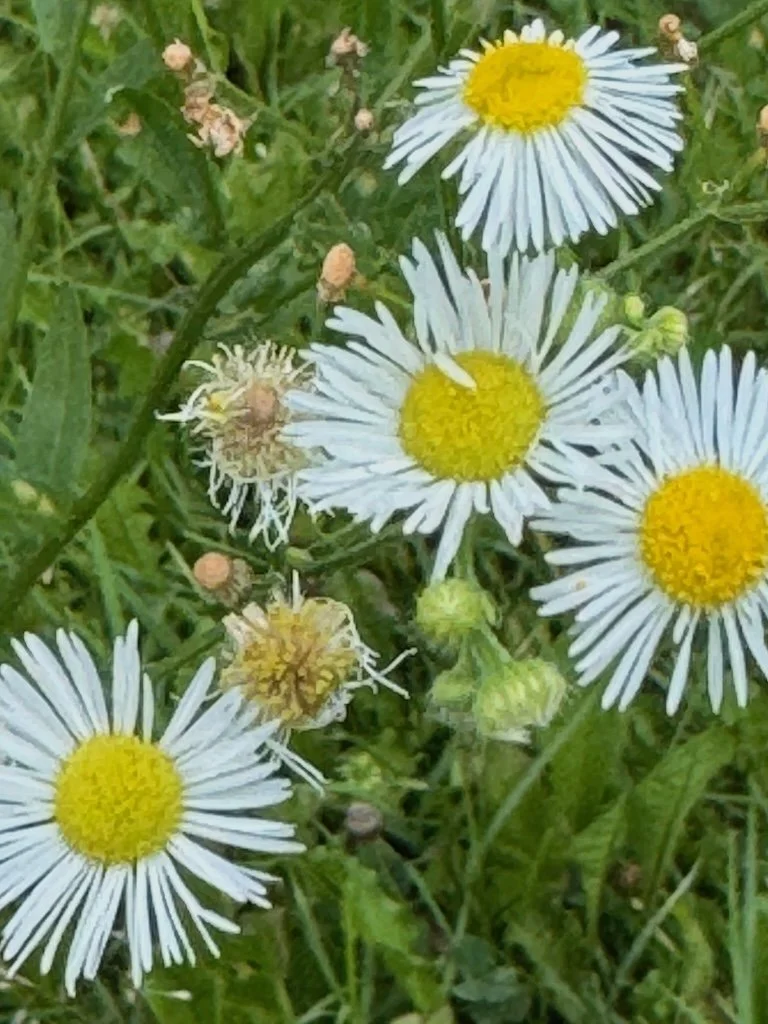
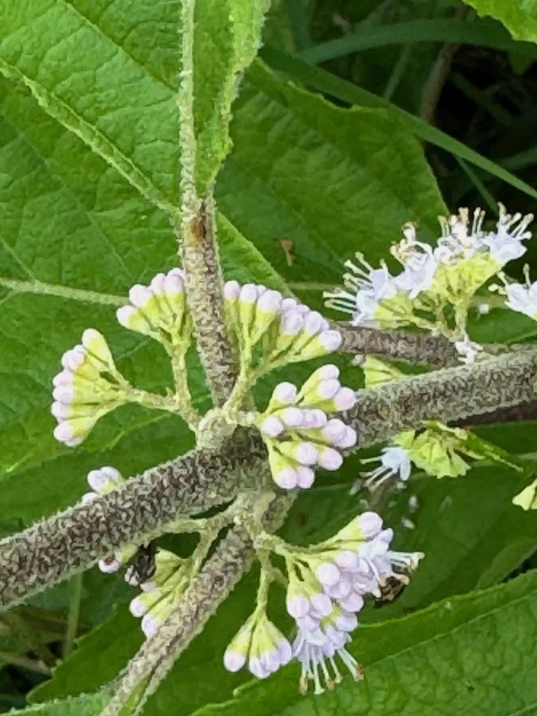
Wow! It is a great place for a field trip.
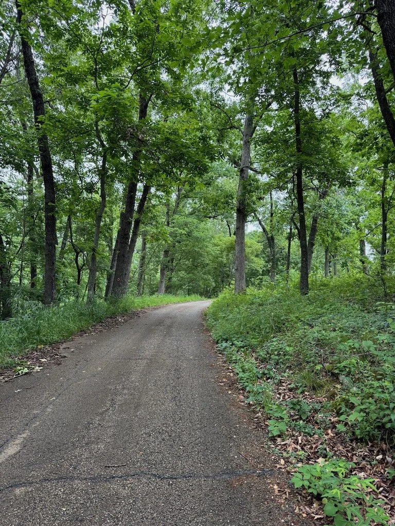
Easy to get to from Springfield
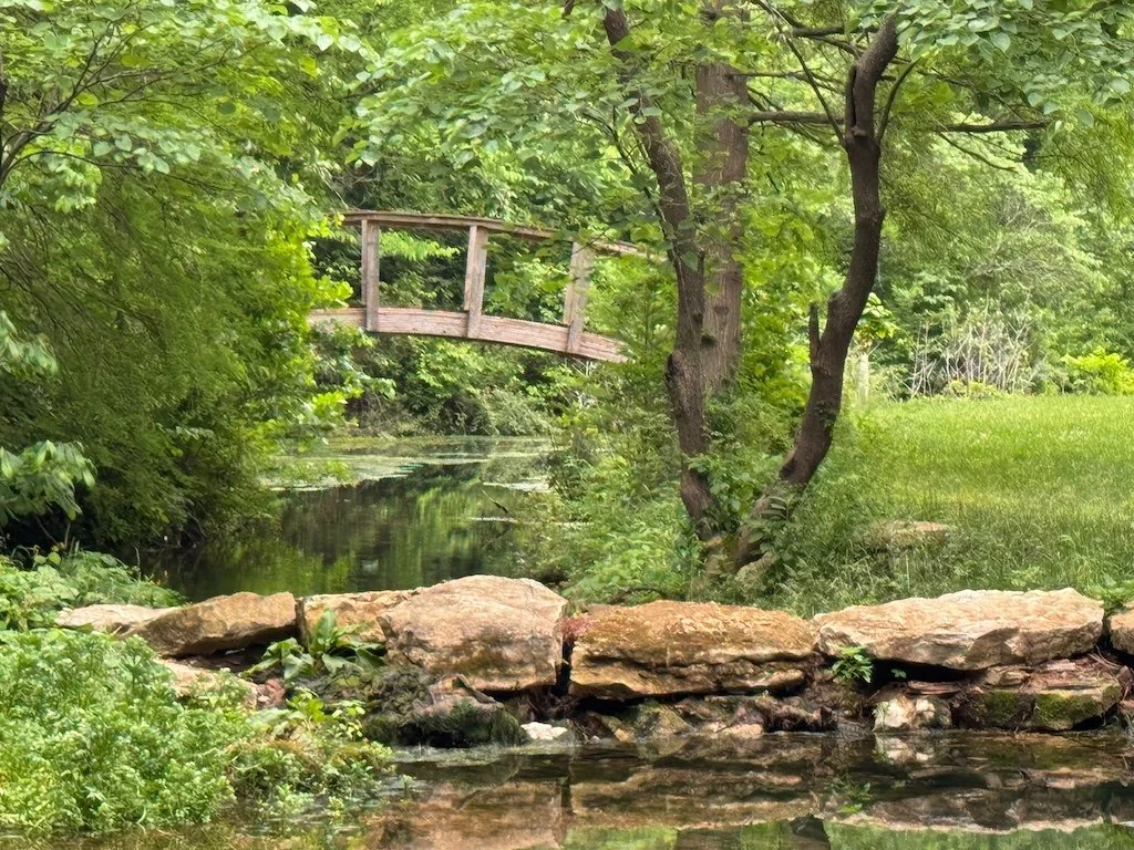
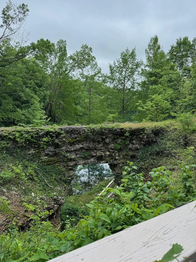
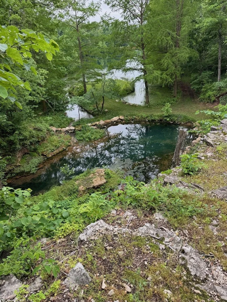
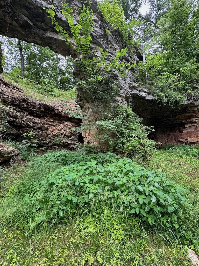
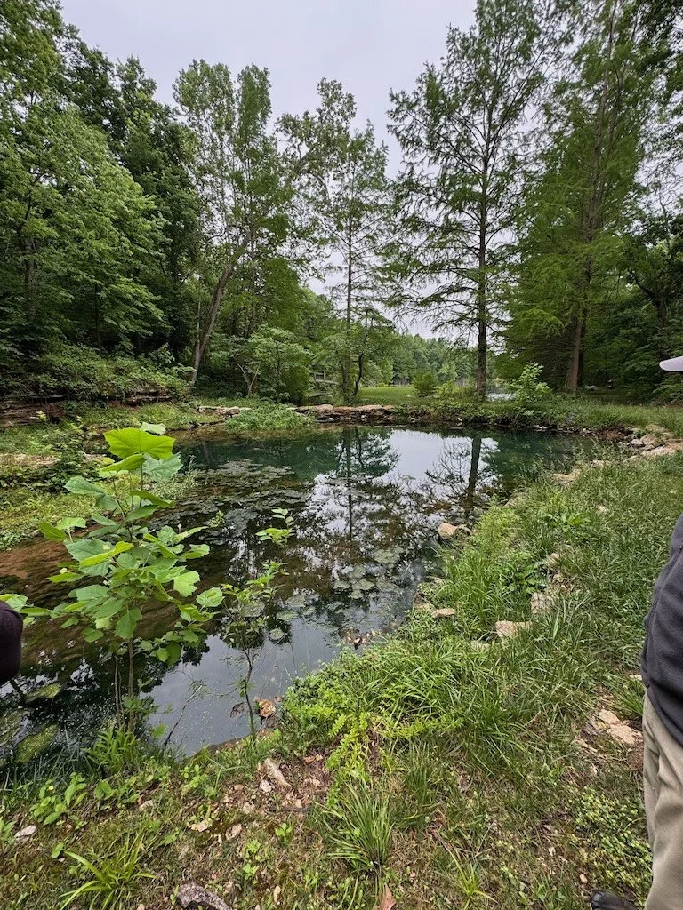
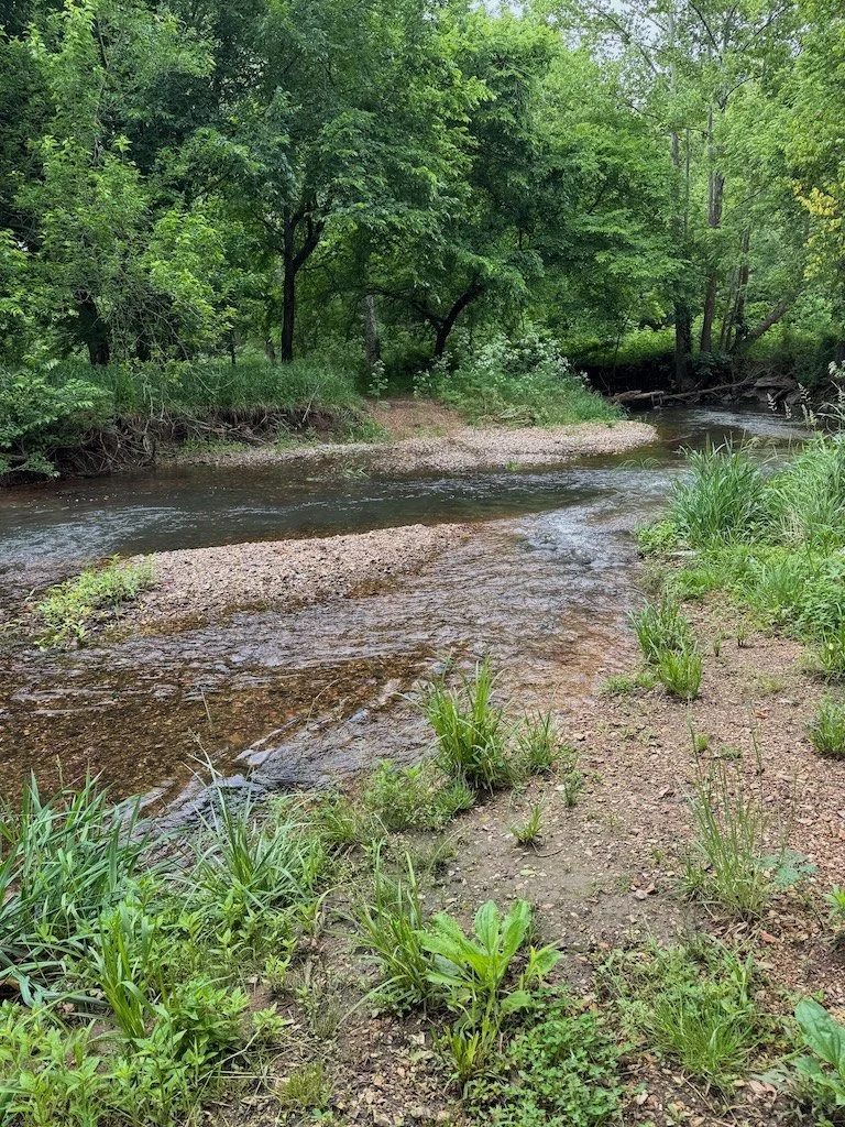
Springs and sinkholes
Remediated riverbank…and ash trees (dead or dying) replaced with other tree species
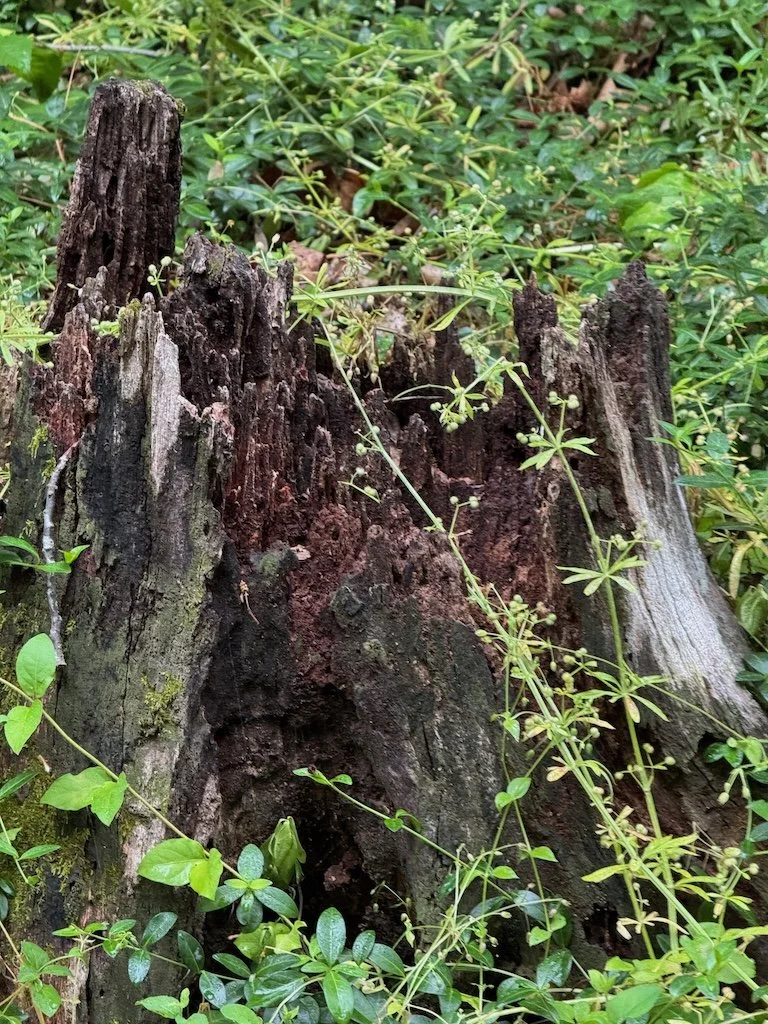
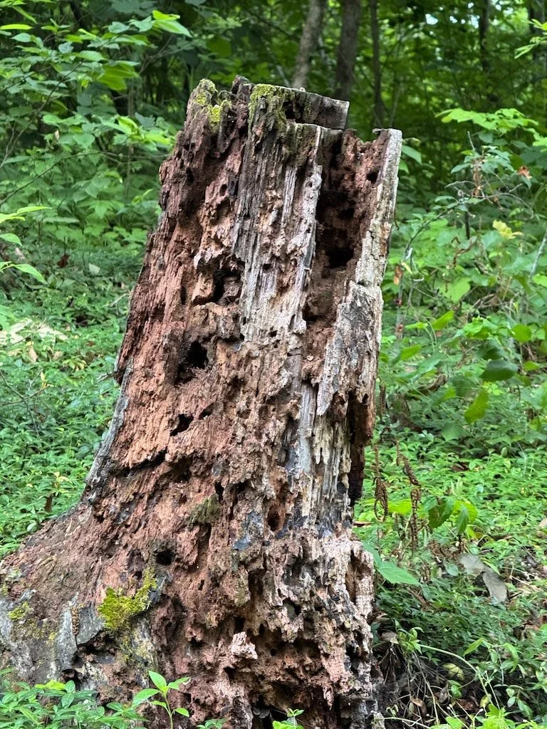
Tree cavities
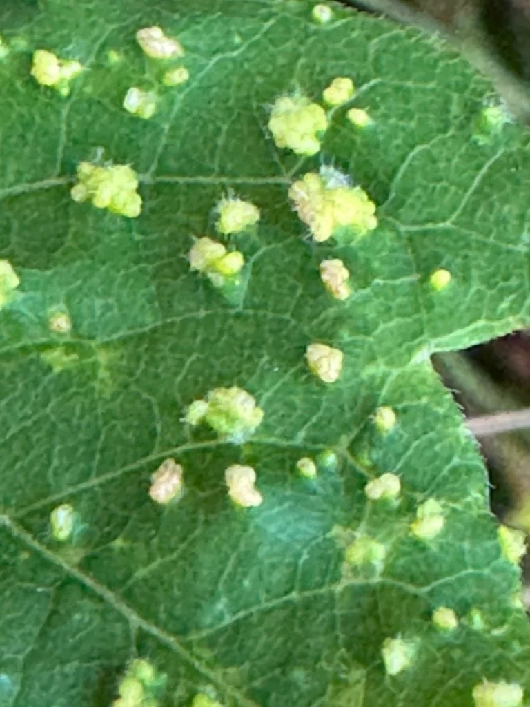
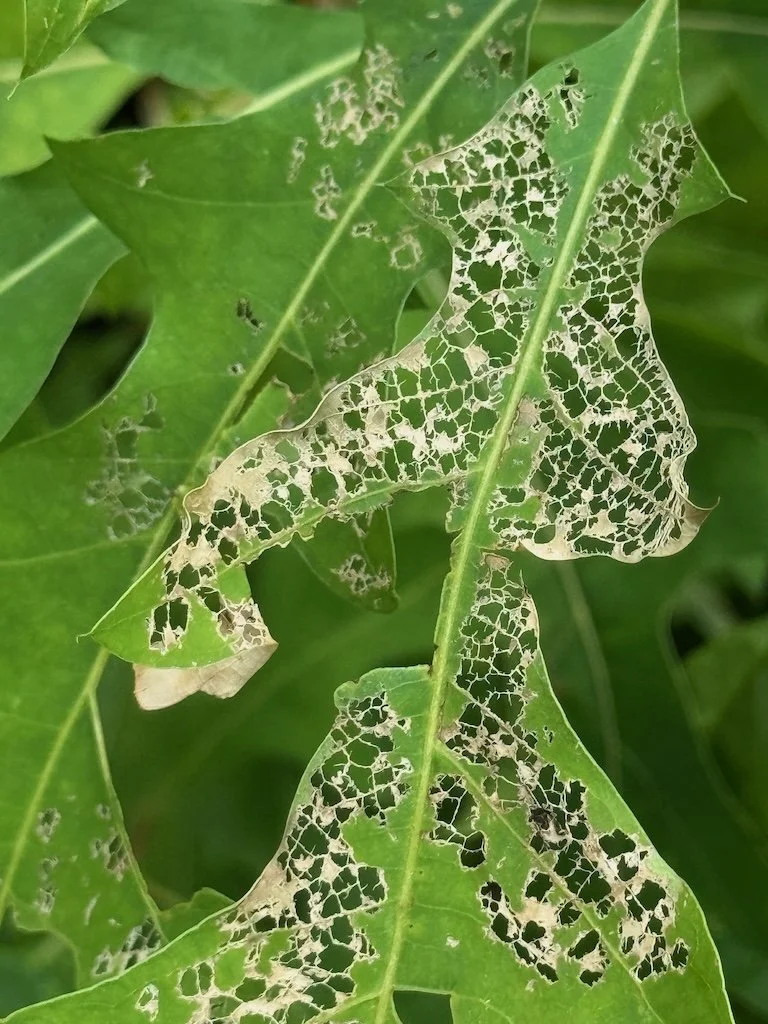
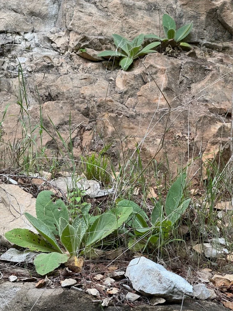
Some invasives but not overwhelming
Road or mowed trail for hiking
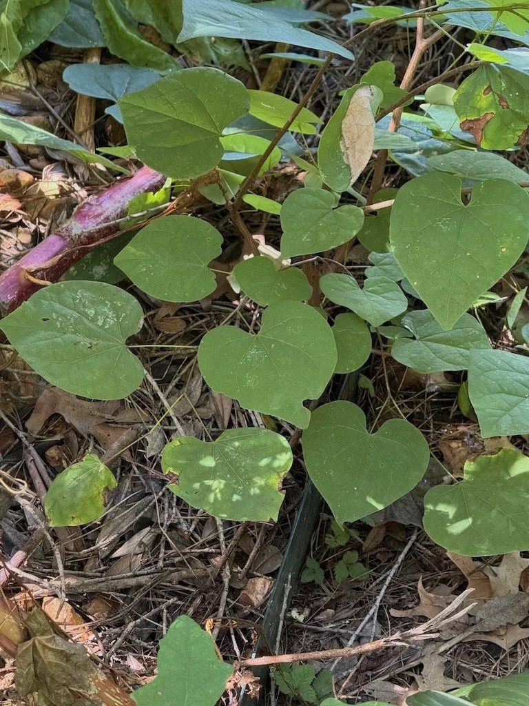
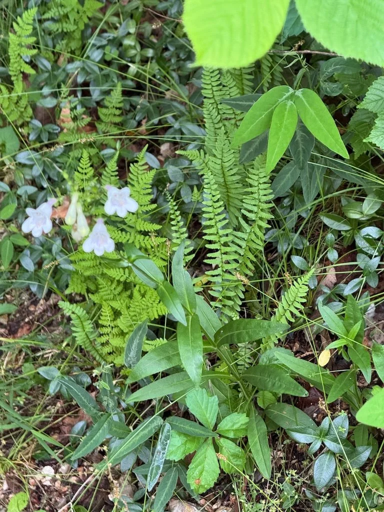
Pawpaw patch
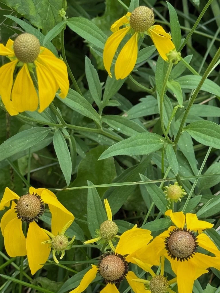
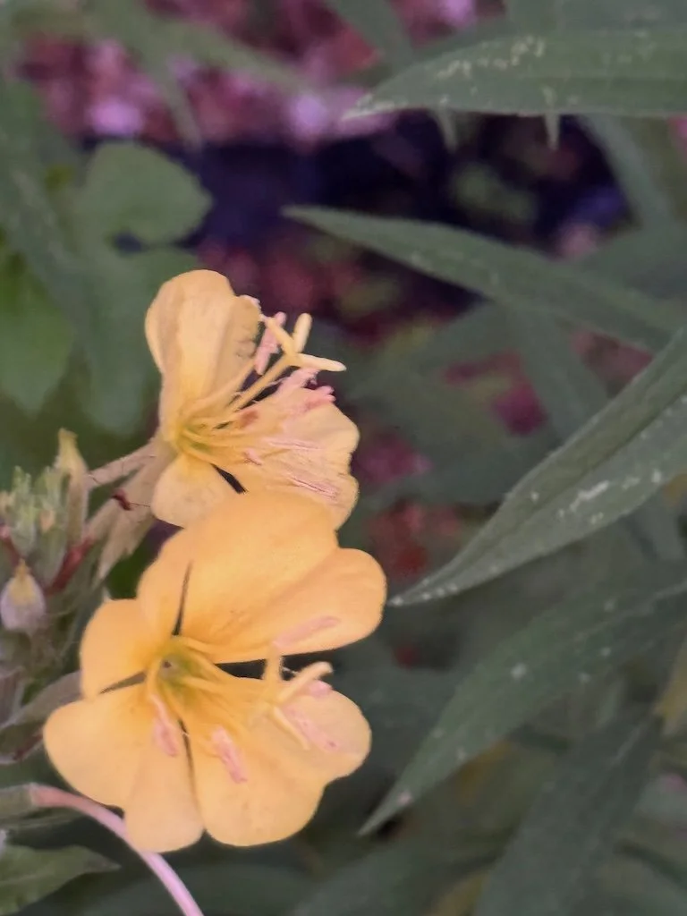
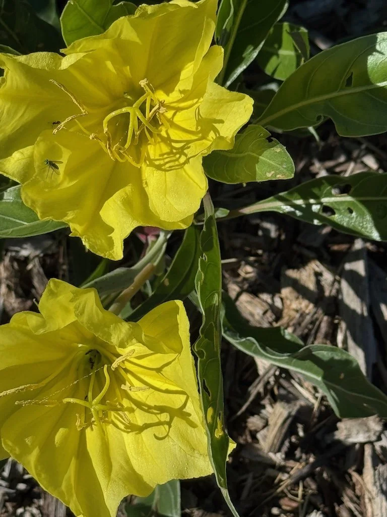
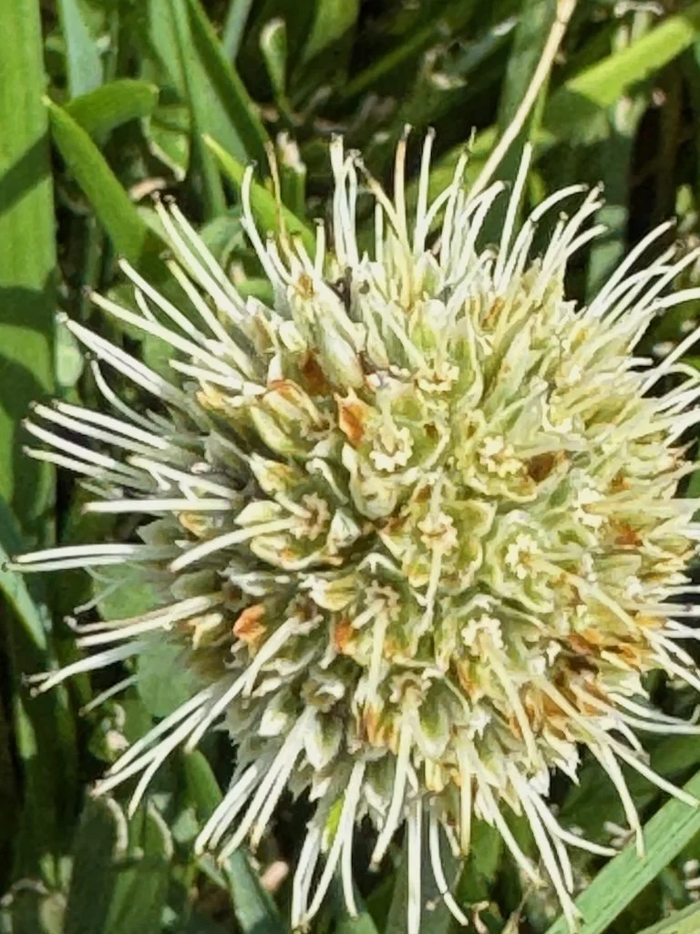
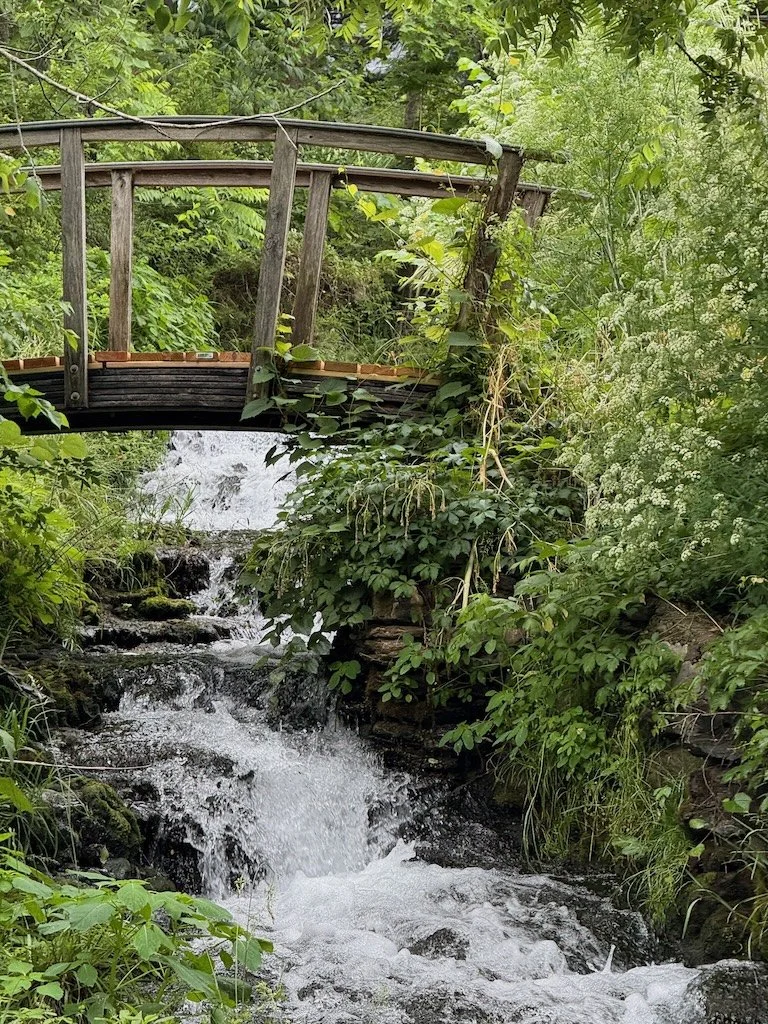
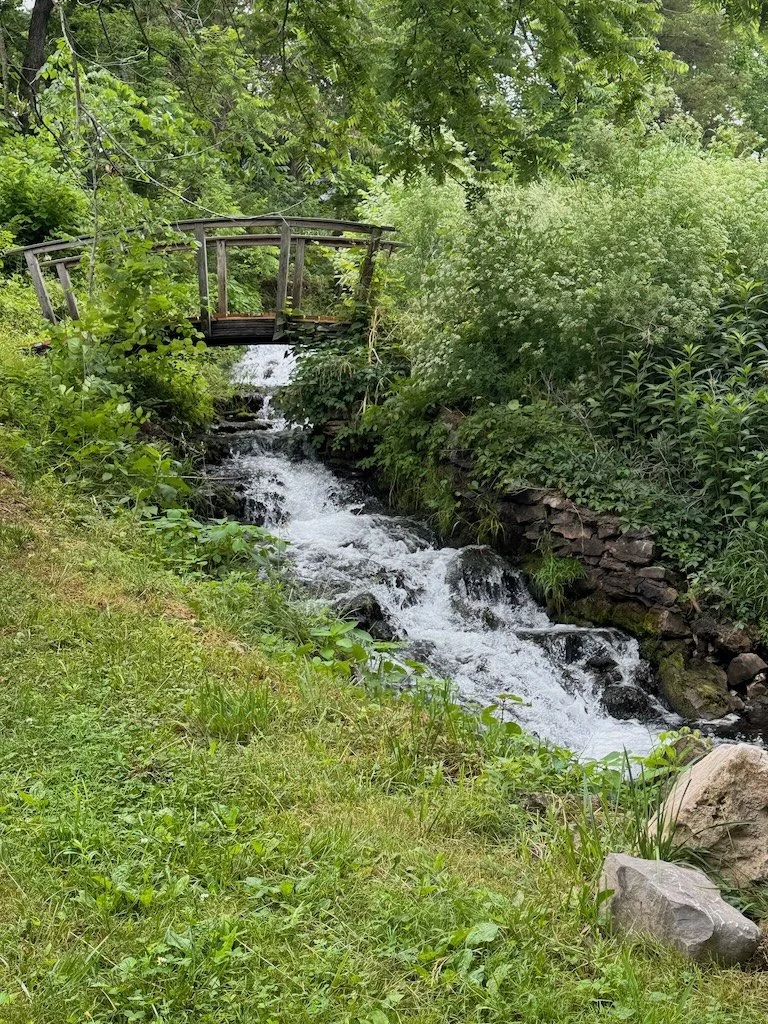
And much more!
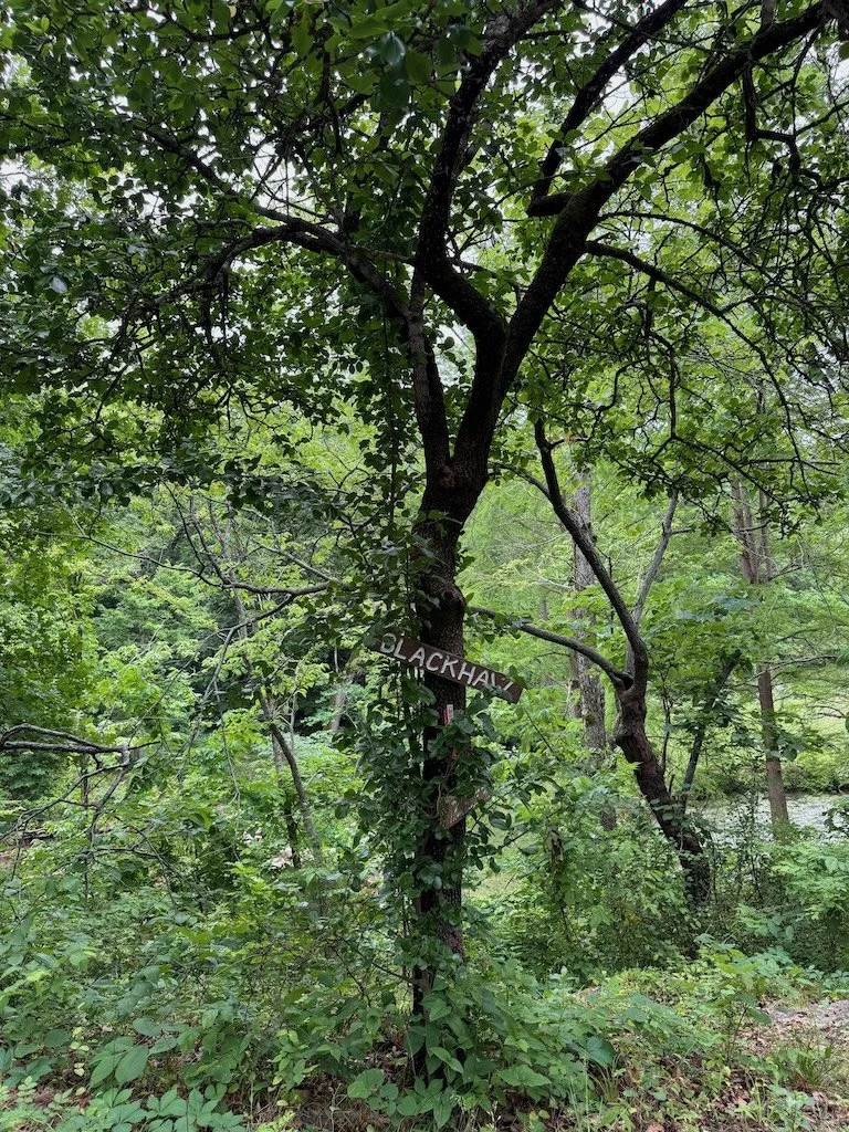
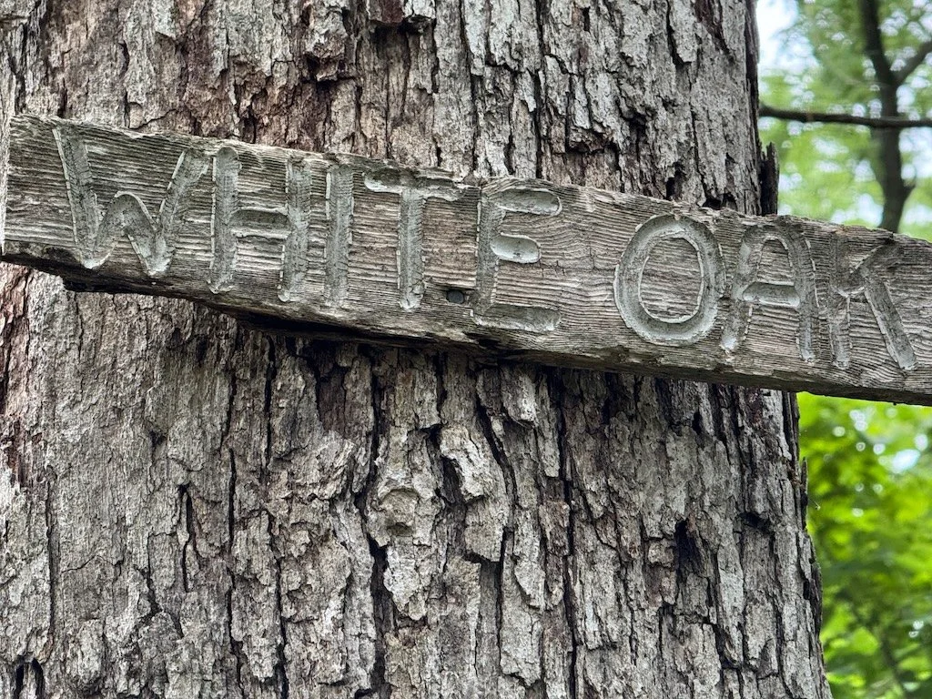
I loved the handmade tree signs!
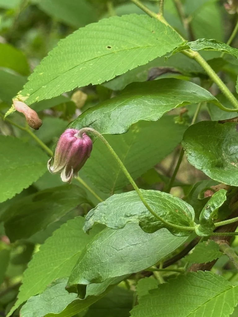
We modified the plan to divide the students into 4 groups rather than 3 (so 6-7 students/group) and the topics will be: forest ecology, geology (karst), tree identification (using dichotomous key), and nature journaling/nature observation.
I am looking forward to seeing the place in the fall….and observing the students discovering this special place.