Ten Little Celebrations – October 2021
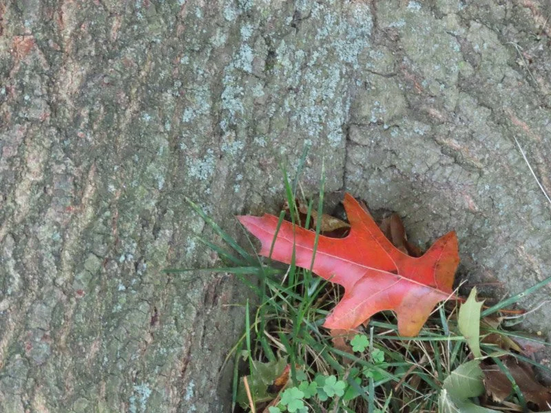
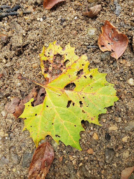
Celebrating fall…

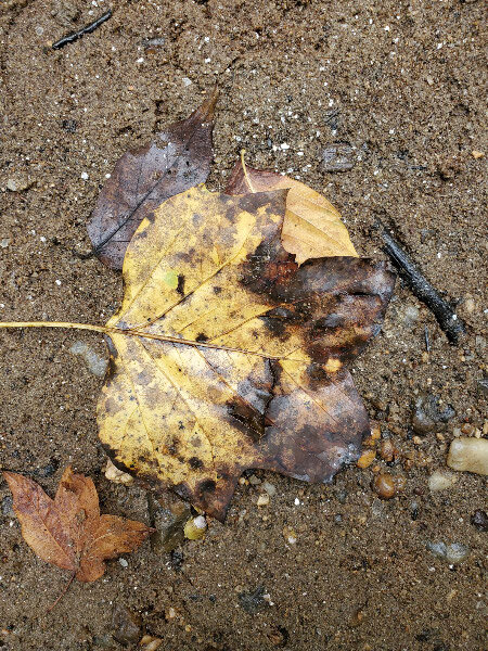
Fall view from my office window. The view from my office window includes a tulip poplar and a red maple…the first has leaves of yellow…the second red although it will be the last to turn completely and let go of its leaves. Celebrating the most colorful views of the year from my office window.

Haircut. We’ve perfected getting haircuts while wearing a mask…still wait a little longer between haircuts than we did pre-pandemic – so it is a celebration to have neatly trimmed hair!

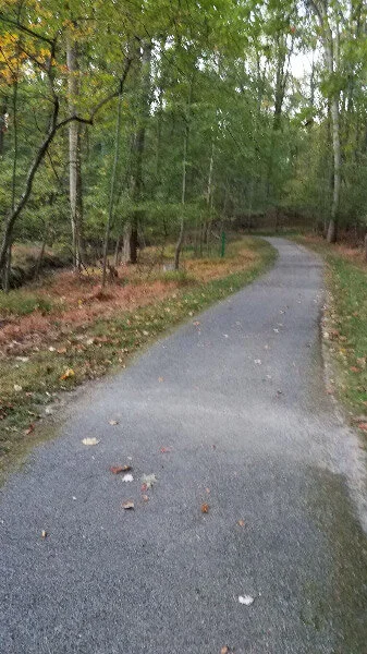
Morning walk in the neighborhood. Cooler mornings and days. Celebrating very pleasant temperatures for the whole day (although a jacket may be required in the morning).

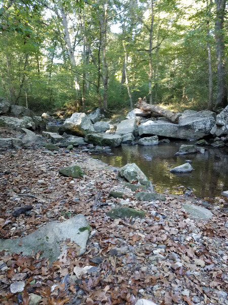
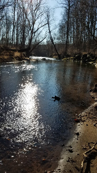
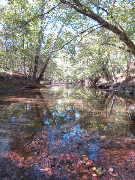
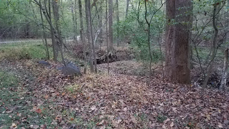
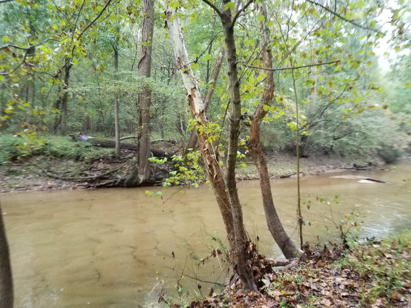
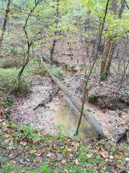
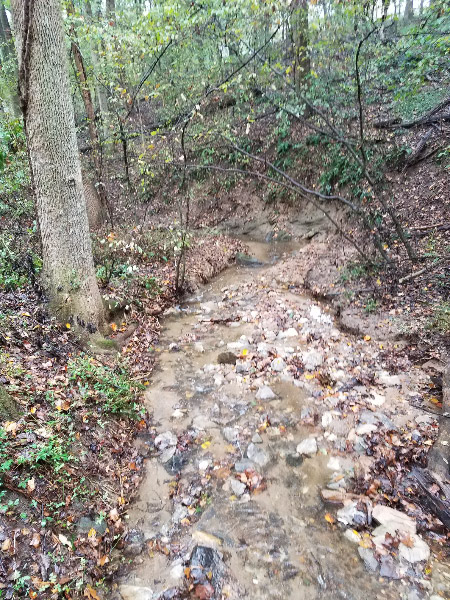
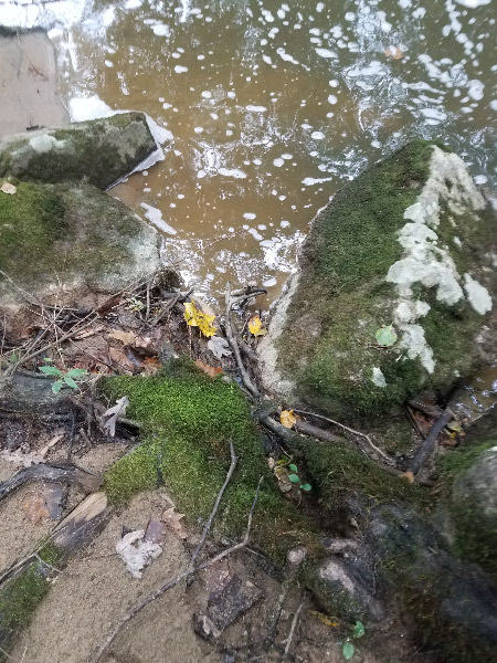
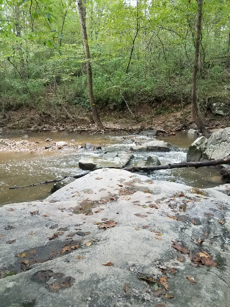
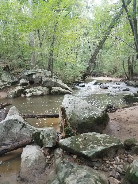
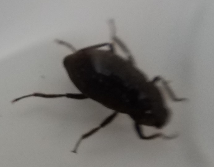
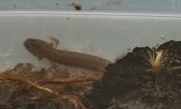
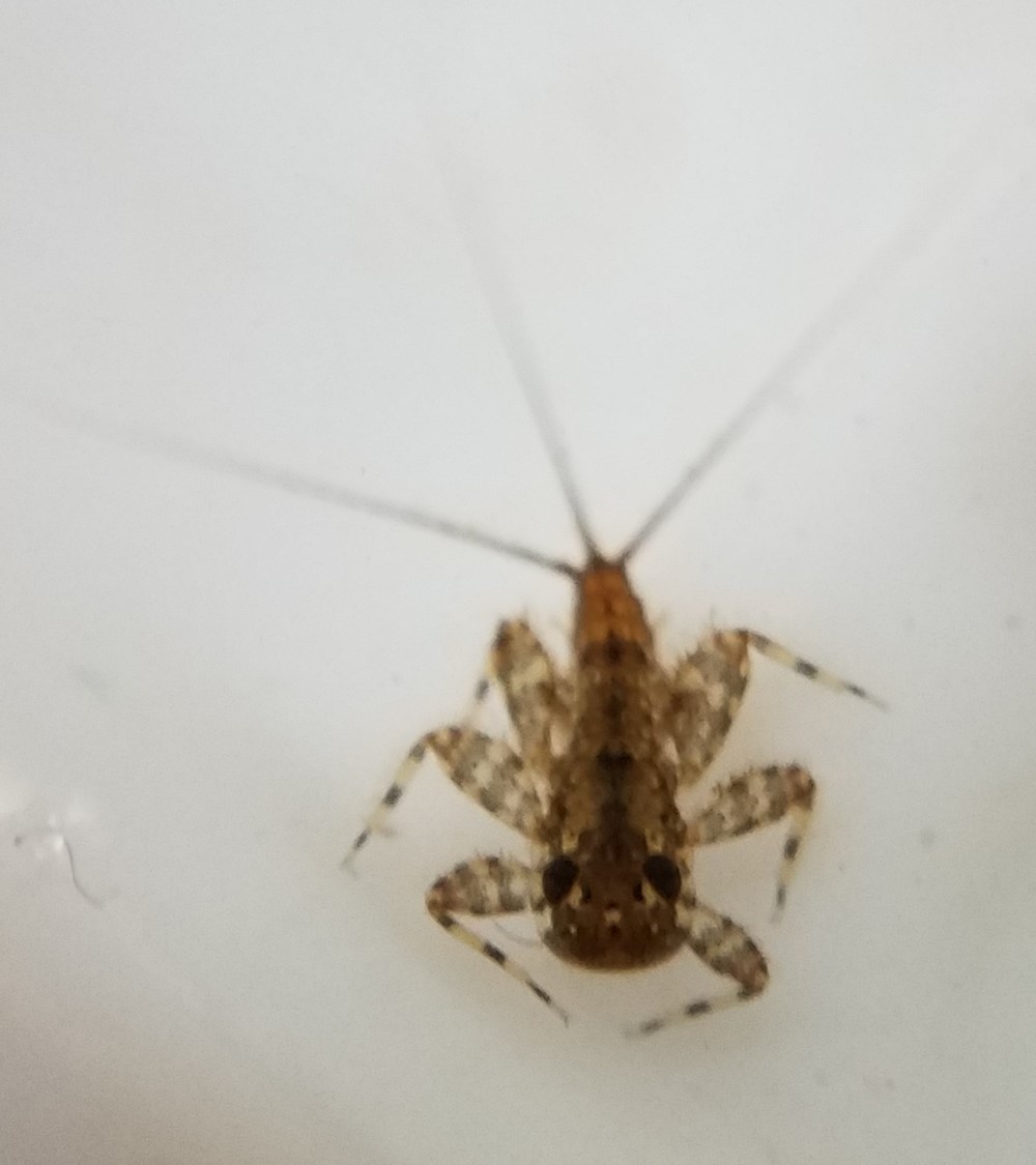
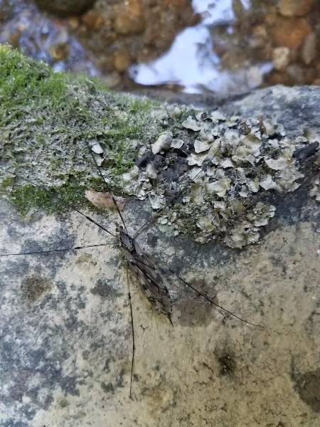
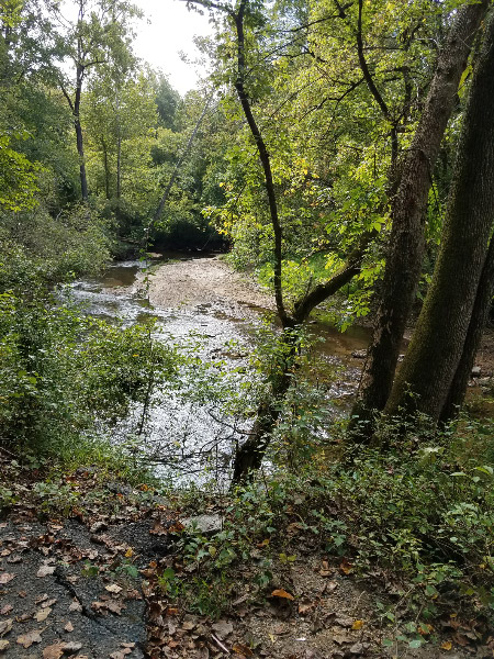
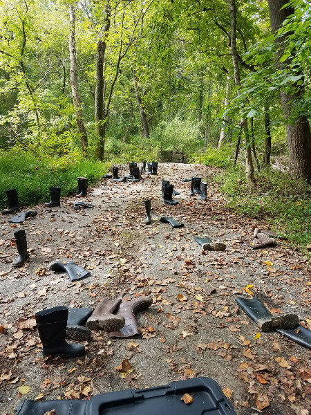
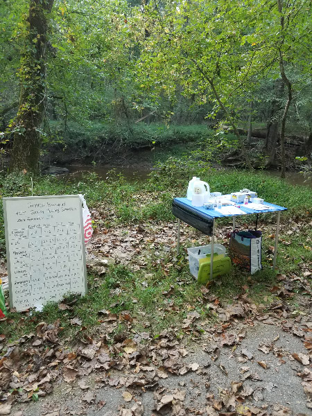
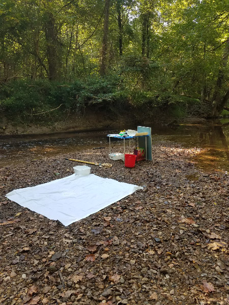
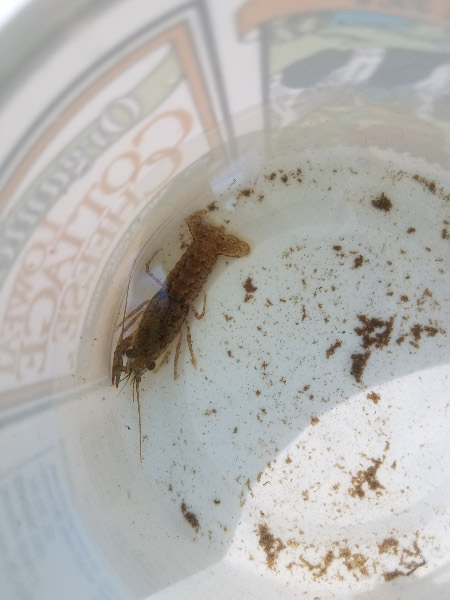
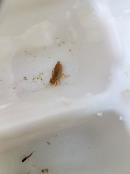
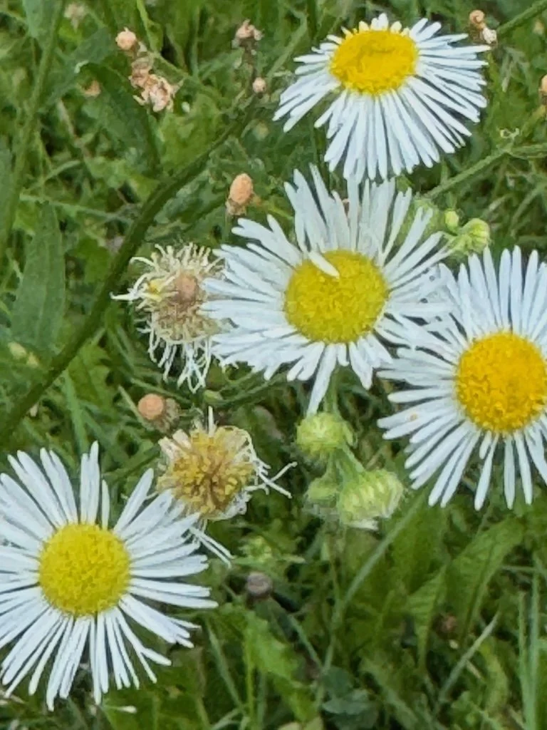
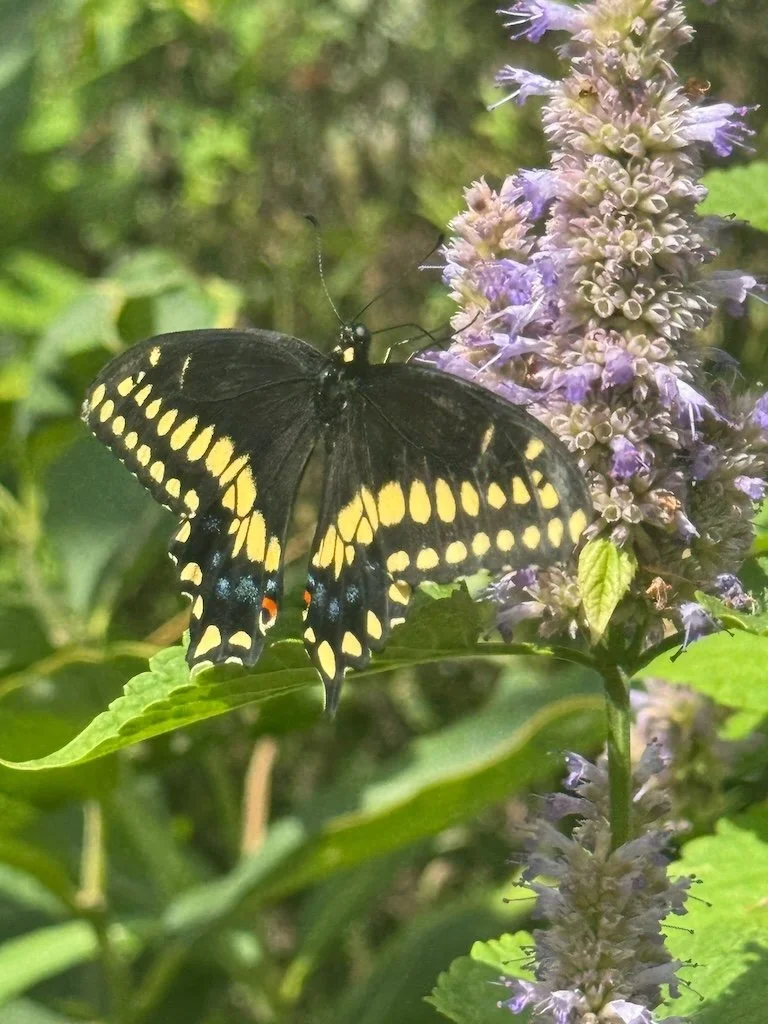
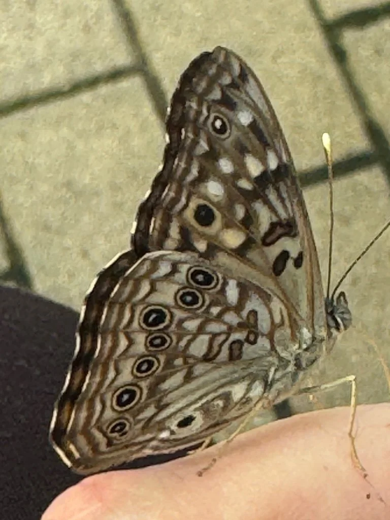
Middle Patuxent River with students. Celebrating the restart to volunteering that I did pre-pandemic. The river is so beautiful when I am standing in the shallows in my big boots!

A new low weight for the year and a beautiful sunrise. Taking off the pounds is hard….but I am doing it! I celebrate every new low weight for the year. Recently I was in the right place to see the sunrise on the same day. I bought and enjoyed a slice of pumpkin roll to celebrate both!

Getting out cool weather clothes. It’s not a whole new wardrobe – but one I haven’t worn in months. I always celebrate my favorite clothes as I hang them up (and also the ones I am packing away). I didn’t have anything that I decided to put in the donate pile!

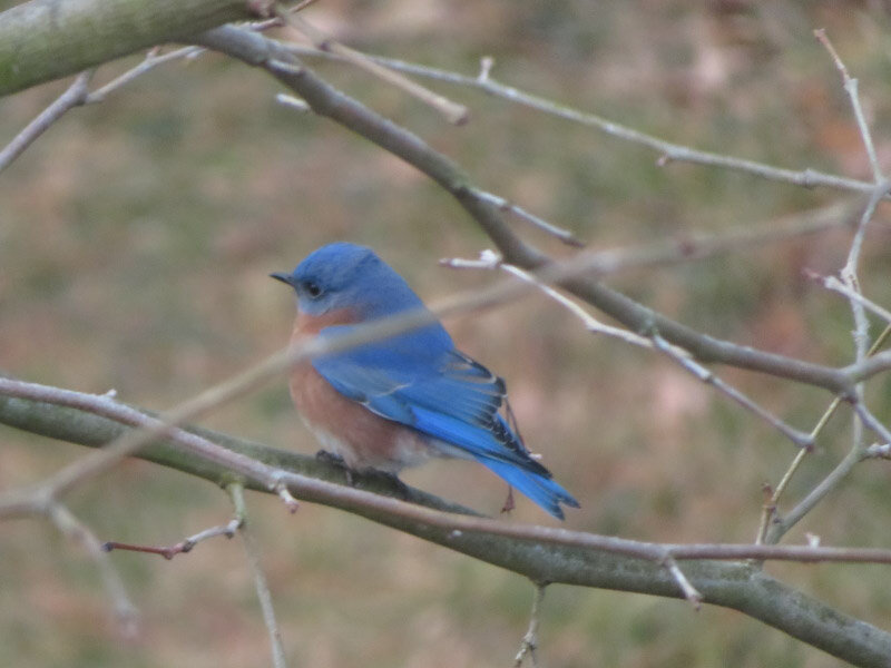
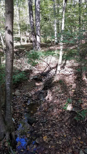
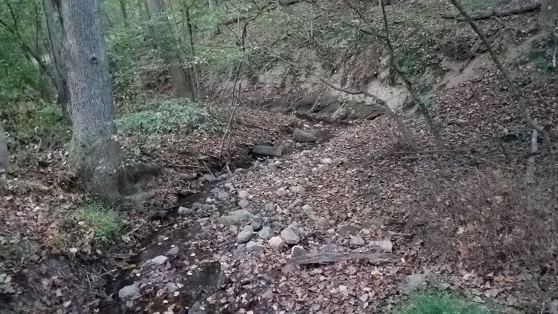
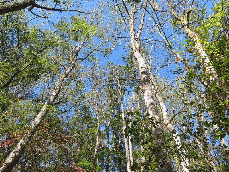
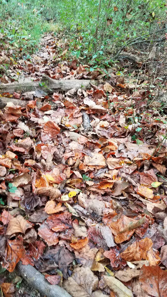
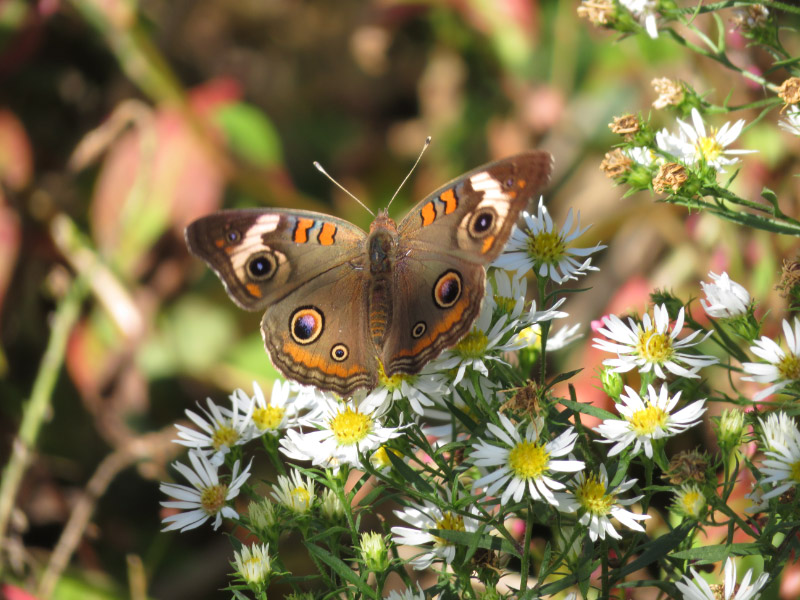
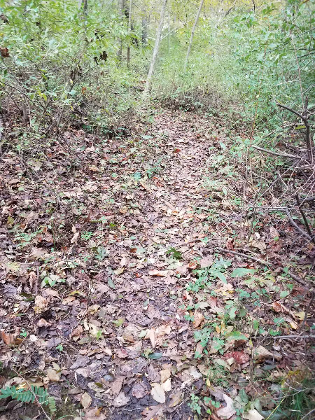
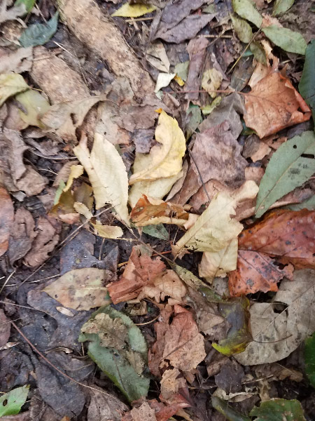
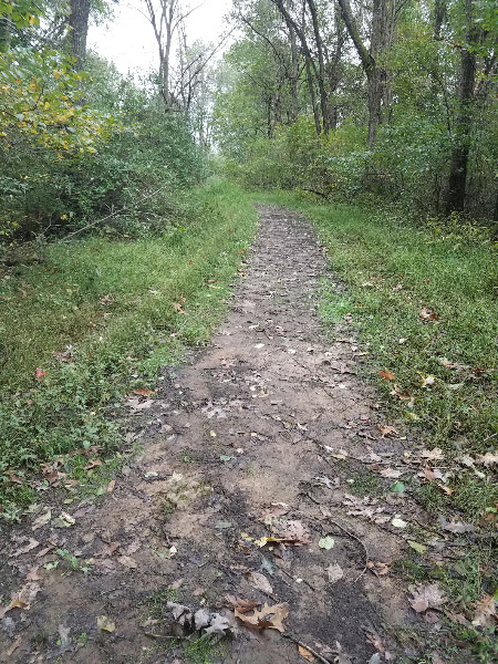
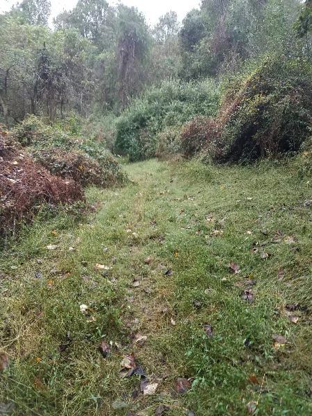
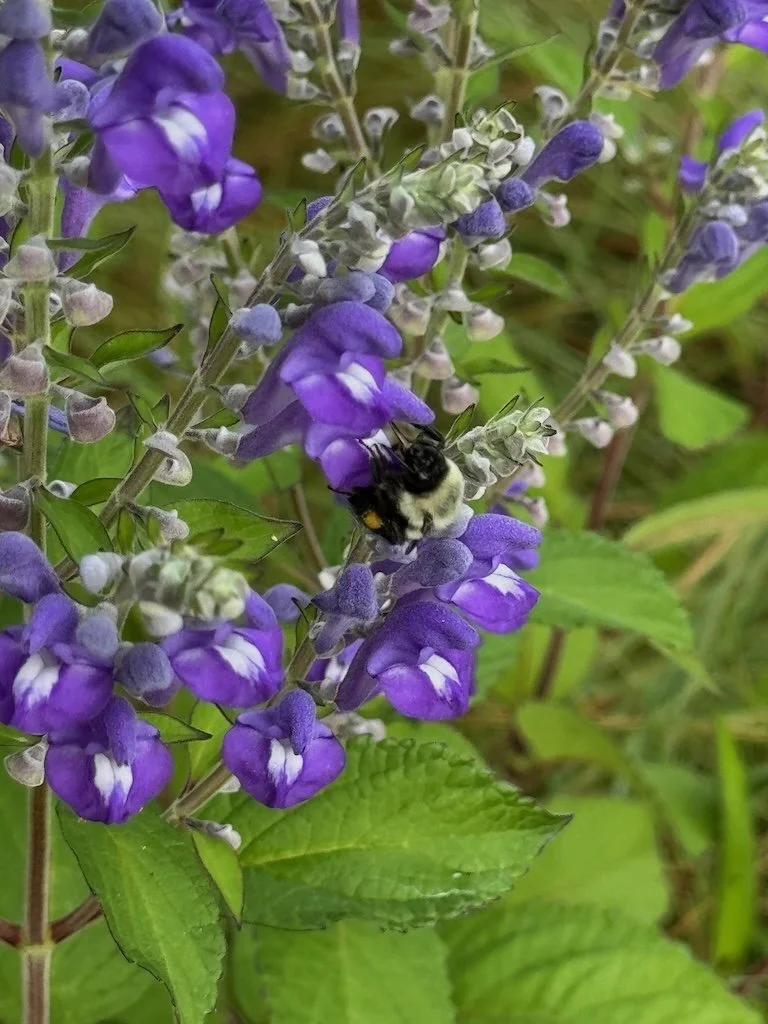
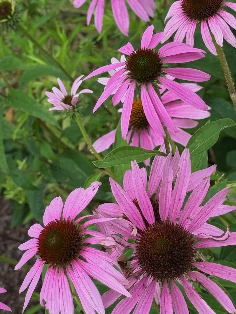
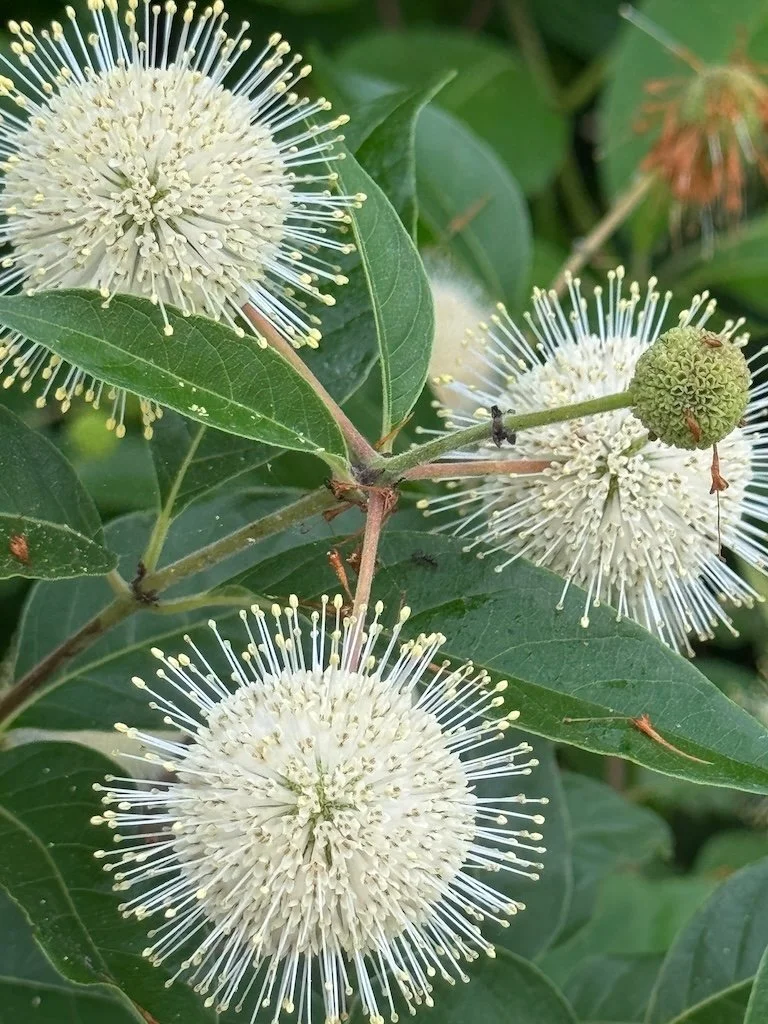
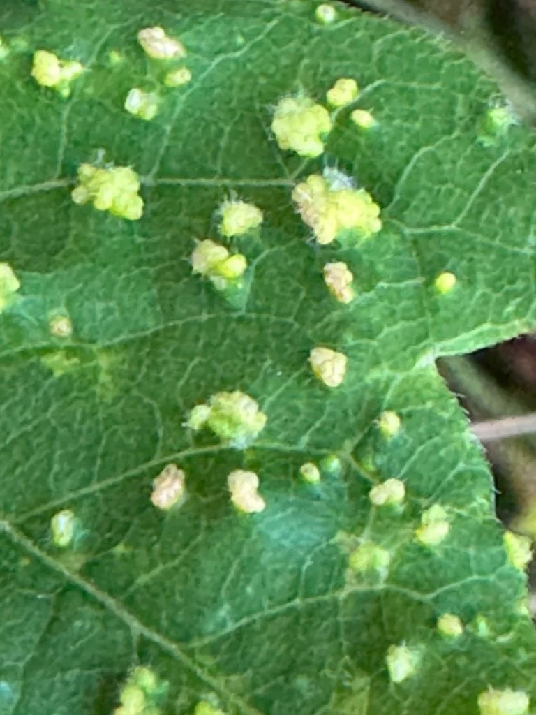
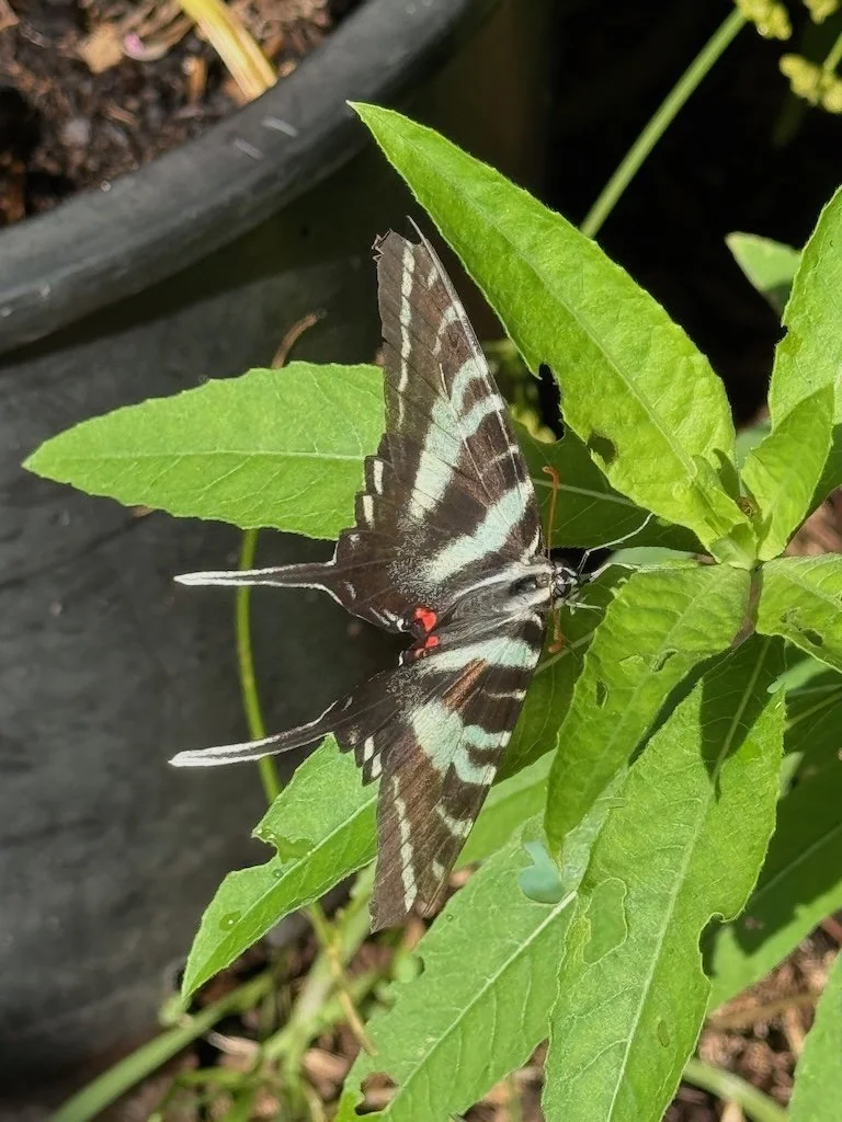
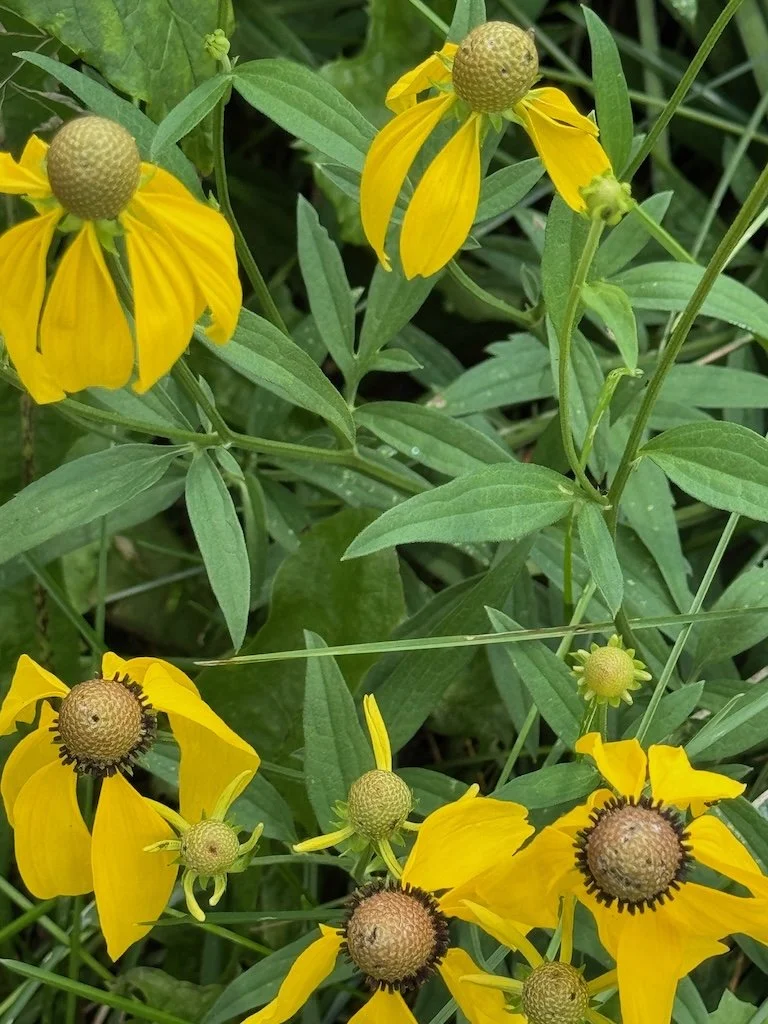
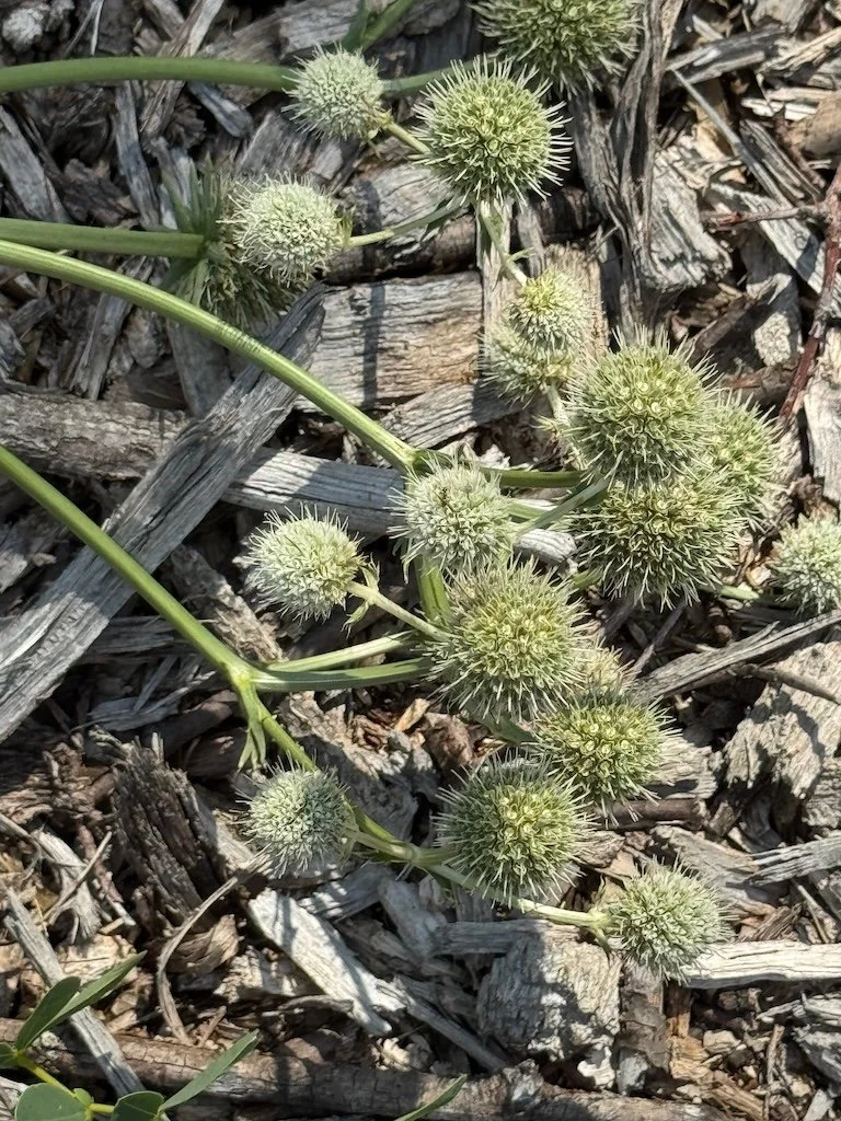
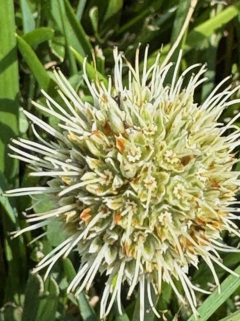
Patuxent Research Refuge. Celebrating the closest wildlife refuge to where we live. There is always something to see there and I always chide myself for not visiting more frequently.

Smell of butternut squash in the oven. It’s that time of year where the smell pumpkin pie spices fill my kitchen…celebrating the special foods and family events that will continue through the end of the year.

Popcorn with butter. Most of the time I eat popcorn with just garlic salt….it’s a special celebration to have it with butter (and much higher calorie)!

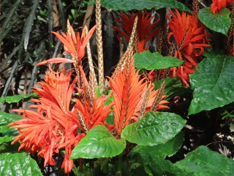
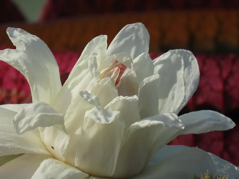
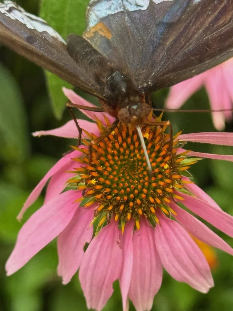
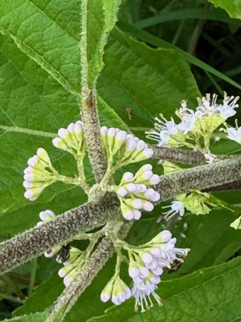
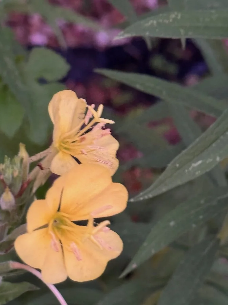
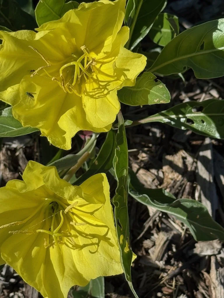
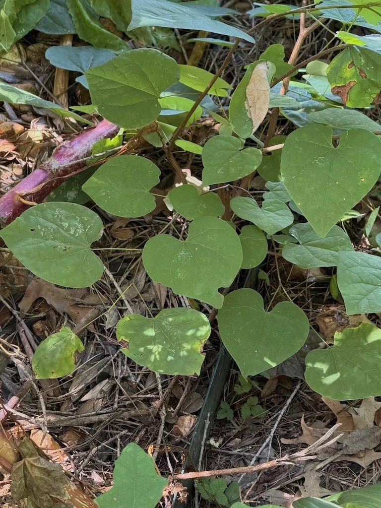
Longwood Gardens. A beautiful place…and a celebration every time we go. Some parts I enjoy again and again…and sometimes there are sights that are totally new.

In the Middle Patuxent River – 1

20211005_084940.jpg

Another morning in a local river last week – the Middle Patuxent near King’s Contrivance. There are pathways from the neighborhood streets nearby to connect to the Kings Contrivance Loop that are lined with the big trees of the easement along the river.

A part of the Loop trail parallels the river for a short distance and there is a root supported path down to the river in one spot. The river was more silt than cobbles…more big trees had fallen in from the bank since the last time I was there (pre-pandemic). Still – being in the river is a wonderful outdoor experience every time. There are gentle sounds of the water moving…trees ruffled by little breezes. It was a cloudy day but enough light filtered through the canopy to make patterns on the surface of the water.

20211005_091804(0).jpg

I took some pictures of leaves that had fallen recently and were plastered to the sandy beach near the water. Soon there will be a lot more.

And then the students arrived and it was a flurry of activity while we collected and identified macroinvertebrates…decided that, based on our sample, the water quality was poor but not dead. There were macroinvertebrates in good numbers…but skewed toward species that are tolerant to pollution. Some of the students were surprised at how easy it was to step in water just over the height of their boots! They good naturedly made their way to shore, took boots off one at a time to pour out the water.

And then the time was up - the students headed back to their buses and the river was quiet again. I climbed back up the bank on root ‘steps’….glad that the abundant green on both sides of steep bank was NOT poison ivy!

20211005_112911.jpg

Patuxent River

My husband and I enjoyed the PAXCON Reflections (the webinars provided in lieu of the Patuxent River Conference this year). The recordings are now posted to the website (link above) and available to all. The topics include:

How climate is changing in the Chesapeake Bay region and the Patuxent River watershed, potential impacts to Patuxent River water quality, and how communities can prepare for the future

The importance of wetlands in the Chesapeake Bay Region

Stormwater and how local communities are working to restore their streams and meet regulatory requirements

I’ve been prompted by these webinars to think about my own connection to the Patuxent River close to where I live. The Middle Patuxent originates in Howard County and joins the Little Patuxent near Savage, MD which continues southeast to join the Patuxent River just before it crosses under Crain Highway just south of Crofton, MD. There are 5 locations where I’ve been at or in the Middle Patuxent in recent years. The first 4 are sites for volunteer gigs (pre-pandemic) with high school students assessing water quality. Use the Google Map starting at MPEA and follow the Middle Patuxent.

MPEA

Middle Patuxent Environmental Area is near the origin of the Middle Patuxent. There are several streams that come together in the area to form the river. A loop of the Southwind Trail that goes close to the river. There are a lot of rocks in and along the river…riffles and runs and pools…places for lots of critters.

One time I went down when it was raining – the trail too muddy and the river too high for the water quality sampling. The runoff water had some foam in it and the speed of the water demonstrated how the banks eroded with each such event (note the leaning tree at the edge of the water.)

Robinson Nature Center

Robinson Nature Center is a little further down river from MPEA. I did water quality monitoring with other adults at that location pre-pandemic. There is more water in the channel than at MPEA. The trees along the river are smaller and don’t shade the water…making the water warmer that it was prior to the surrounding development. The banks are somewhat incised but there are still some beach areas…riffles, pools, and runs. There is more silt as well. There are still a few big rocks in the river. Note the whale shaped rock!

Edenbrook

The Middle Patuxent flows under Columbia Pike and on through suburbia. Parking at the dead end of Edenbrook Drive near Kings Contrivance and walking down the old road (gated) to the river is another access point. There use to be a bridge over the river that connected to Kindler Road on the south side. It washed away years ago, but the abutments are still along the river. The banks are more incised. The river is disconnected from its flood plain by this point (it has cut a deep enough channel that it doesn’t broaden much even when there is a lot of water: the water just flows faster and the channel just gets deeper).

Sweet Hours Way

2019 10 IMG_5783.jpg

Parking on Sweet Hours Way and taking the Kings Contrivance Loop trail down to the rive is a little scenic hike on a paved. The banks are much more heavily incised here. The paths from the trail down to the river bed are very steep. There are trees that lean over the river in some places but some of them are barely attached to the bank. Once they fall, the stabilization they provided will be gone and the bank will collapse…until another tree’s roots hold the soil.

There are stretches of the river here that are sand/silt; the rocky bottom has been covered over.

20181015_082352.jpg
20181015_101101.jpg

The little streams that flow down to the river here are also incising their banks. The land is sloped, and the banks quickly erode when they don’t support enough vegetation.

Behind my house

I hiked down to Middle Patuxent behind my house last spring during the first wave of the pandemic. Trees have fallen into the river – probably during a wind/rain event. They were big enough that they would have been growing at the river’s edge when my daughter was young (over 20 years ago) and we tried to make boats from sycamore bark on one trip to the river. During big rains, the water accumulates and runs off more rapidly now than it did then. There is forest buffer along the river but there has been a lot of development (impervious surface) in the watershed between MPEA and my neighborhood.  Some development is much closer to the river than my neighborhood with is about 0.13 miles from the river (forested). Some roads closely parallel the riverbed.   

I don’t know the river beyond that point although I might decide to take a small field trip to the Savage Mill/Bollman Iron Truss Bridge to look at the area where the Middle Patuxent merges with the Little Patuxent. I walked in the area years ago…but it was before I started taking pictures.

Ten Little Celebrations – January 2020

2020 has started out with more activity than I anticipated….more volunteering, more classes, more events…and some travel at the end of the month.

2020 01 IMG_7039.jpg

Bluebird passing through: We don’t see bluebirds around that much….so it’s a special day when we do see one.

47th wedding anniversary: It doesn’t seem like such a long time…compared to my parents celebrating 67 years. I’m going to think of something special for our 50th coming up in 3 years!

20191229_142625.jpg

Children enjoying the Touch Tank: There are moments in every hour that I spend volunteering at Robinson Nature Center’s saltwater touch tank that are little celebrations for me and for the children. Whether it is awe from something an animal does…or how they feel…or just understanding something new.

Conowingo Eagles: Even on a morning I don’t get any particularly good pictures – I enjoy every trip we make to the Conowingo…and that the eagle population is back from the brink!

Hot tea with cream: Or maybe with just milk. It’s my favorite winter beverage.

20200115_095546.jpg

Middle Patuxent Water Monitoring: I always enjoy getting in the river and then doing the gleaning of the macroinvertebrates to identify. Since it was winter, I was braced to get very cold…but we had a wonderful sunny (not too cold) day!

Honing skills for volunteer gig: None of the classes were very long but were informative and applicable to me becoming a better volunteer. The topics ranged from autism, Howard Country Green Infrastructure Network, sensitivity training (impact of microaggression), outdoor wear fashion and function, and the spotted lantern fly. Wow – quiet a range of topics and all the presentations were excellent.

2020 01 IMG_7080.jpg

Snow in the afternoon: So beautiful. I celebrate every snow these days because I don’t have to drive in it!

Zentangle® with Howard County Conservancy volunteers: I love guiding group Zentangle sessions. This particular group seemed to enjoy the session…and had some ideas about ‘next steps’ in a practice. And like the campers last summer…got a little Zen as well.

20200116_120801(0).jpg

Cooper’s Hawk on a Snowy morning: Often a ‘little celebration’ is a surprise that just happens. Seeing the Cooper’s Hawk fly into our sycamore was that kind of celebration – although I am glad the hawk is not around my backyard more frequently (since I enjoy the other birds).

In the Middle Patuxent River – January 2020

Last week I was in the Middle Patuxent River at Robinson Nature Center for the quarterly (winter) water monitoring. The temperature was in the 50s and sunny – an easier sampling than most years. I always like to take some pictures from right at or in the river. It’s a different perspective that being on a forest or meadow trail.

20200115_095557.jpg

I was the only one of the sampling crew with just boots….everyone else had waders. But the river level was not too high. I didn’t get water in my boots…and no one fell in either.

20200117_151004.jpg
20200115_095734.jpg

We caught a madtom (catfish) in one of the collection nets (collecting macroinvertebrates). We took pictures and let it go before we headed up the hill to the Nature Center.

In the lab, we divided the buckets of samples into plastic bins and we all started collecting macros from our bins and randomly putting them into the two partitioned trays.

20200115_120727.jpg

Then random numbers were drawn to determine the compartments we would id and count until we got to 100….and then we looked at what was left for anything unique. Almost everyone took a few pictures of macros. The most unique thing we found was a white worm!

This was the first time I participated in a winter monitoring and it might have spoiled me – being as warm as it was.

In the Middle Patuxent – Again

Last week, I was in the Middle Patuxent River again for a couple of mornings – a little downstream from the MPEA location that I posted about yesterday. The biggest difference was more water! It was wide enough to make using a seine possible although the D-nets worked well for collecting macro invertebrates as well. I celebrated that my last group found a hellgrammite!

Another plus for the site – no scrambling over rocks to set up field tables and supplies for identifying the critters we caught. The access was down a steep bank with roots making reasonable stairs; no one had a problem getting down even in clunky river boots. And once the students were in the river…magic happened. Everyone participated!

2019 10 IMG_5785.jpg

The site was close enough to one of the schools that the students walked down. The path was a paved tail through forest along the river…with housing developments sometimes visible on both sides.

The little streams that feed into the river are showing the erosion caused by the impervious surface that reduces the area’s ability to soak up water before it gets to the river.

But the trees are tall, and the days were sunny and just cool enough to realize it was fall. Excellent weather to be in the river.

Middle Patuxent River at MPEA

Earlier this month I was in the Middle Patuxent River twice (with two different high schools) at the Middle Patuxent Environmental Area (MPEA). We got there by 7:15 AM to be ready for the buses with students to arrive at 8. We parked near the South Wind Circle trailhead and hiked through the forest to the edge of the river. Then came the tricky part - climbing over the big rocks to get down into the river and on the side with enough cobbles to hold the field gear for water assessment. The towels in the second picture mark the route over the rocks. Sitting down on the highest rock turned out to the be safest way to start the crossing.

20191002_075819.jpg

I took a few pictures of the quiet down in the stream after equipment was set up and before the students arrived. The river is very low this year but still picturesque.

Once the students arrive, there is a flurry of activity with boots and macroinvertebrate finds/identification and chemical tests of the water. The students spend 2 hours in the river then hike back up the hill. Then we have a break before more buses arrive with more students from the same school. During that break, I always take the path up hill across the river from the path where we arrived some privacy. The path is covered with fall leaves and there are many Christmas ferns along the border.

There is even time for a snack…and then we have another 2 hours of focused activity. At the end we pack up everything and the students help us carry all the gear up the hill before they get on the buses to go back to school.

Ten Little Celebrations – October 2018

Glorious fall – even if our leaf color is the least spectacular of the 30+ years I’ve lived on the east coast. All my celebrations this month were outdoors!

20181005_100138.jpg

Hiking in the Middle Patuxent Environmental Area after heavy rain – lots of mud but my boots handled it well

2018 10 IMG_3034.jpg

Bald Eagles – the serendipity of seeing them soaring over a shopping center parking lot

2018 10 IMG_2968.jpg

Common Buckeye in a native plant garden on a sunny day

Mushrooms and cobwebs at Centennial Park…spectacular on a foggy morning

Finding a crawfish and hellgrammite in the Middle Patuxent River with high schoolers. We were all very cold but managed to still find some interesting critters.

20181002_100703.jpg

Fifth graders with clipboards and pencils on a BioBlitz at Belmont.

20181018_114513.jpg

First graders enjoying a hike on a cold fall morning (seeing a immature black rat snake)

biobli2.jpg

Finding a spotted salamander with a group of 7th graders on a BioBlitz at Mt. Pleasant

20181015_093447.jpg

A rainy day in the Middle Patuxent River with high schoolers – and realizing that the students were pleased with the macroinvertebrates we found. They came dressed for the rain!

2018 10 IMG_2993.jpg

A long hike from Belmont to the Patapsco Valley State Park Avalon area – getting all my steps for the day in less than 3 hours

In the Middle Patuxent at MPEA

20181026_071438.jpg

It was a cold morning last week when I headed out at dawn to help set up for another Middle Patuxent stream assessment – this time at the Middle Patuxent Environmental Area which is upstream from the other Middle Patuxent field trips I had done this fall. It was a field trip that had been canceled previously because of high water (see the post about hike I made that day).

The day was cloudy but dry. I enjoyed the hike down to the river.

The water was low enough that we could walk across near one of the riffles without jumping from rock to rock. I was wearing two pairs of socks to fill out my boots and keep my feet warm. My table got macroinvertebrate identification (after we captured them) was set up on a gravel island in the middle of the river. The other two were on the bank further downstream.

20181026_104804.jpg

Mayfly larvae were the more numerous critters we found – all sizes. There were numerous good photos taken with the macro lens by the students.

But the highlights of the day were two larger critters. The crayfish was large enough that it had to be in the plastic bin while the hellgrammite fit into the ice cube tray. Photos of these did not require the macro lens!

The group of 60 students managed reasonably well in the cold; it might have been a little warmer at the river level when we were dry. I realized as I walked back up the path afterwards that I was cold but for the two hours I was in the river – I was warm enough and overwhelmingly focused on the experience with the students.

In the Middle Patuxent River – Day 1

Last Monday, I volunteered through the Howard County Conservancy to help with a high school Stream Assessment in the Middle Patuxent River off the Kings Contrivance Loop trail. It was raining when I left the house before sunrise and continued through the assessment.

20181015_075250.jpg

It was starting to get lighter when I arrived at the site and helped to set up for the macroinvertebrate collection and identification.

We discovered very quickly that the white boards would not work in the rain – even if we wiped them off immediately before we tried to write.

Fortunately, the rain was gentle and water still relatively clear. This part of the river is silty…not a lot of cobbles.

20181015_082352.jpg

We found quite a few critters. There were at least 3 different kinds of dragonfly larvae; I had never seen the kind with a more rounded abdomen. All the other critters were the more typical ones.

Paper was quickly damaged in the rain. The students took pictures and (hopefully) enough data sheets will survive to make a good composite data set for the class. I took a picture of one of the sheets. The macroinvertebrate analysis done on site showed the river to be in the moderate range.

20181015_095430.jpg

The students finished and headed to their buses. As I made my way up the hill to my car, I stopped to look at some of the feeder rivulets along the way (there were bridges although I could have easily walked across these with my boots). There were some signs of erosion along the banks….it wasn’t as bad as I thought it might be after our recent downpours.

There were also some colorful fungi. Orange is seen frequently.

There was an area with a lot of shelf fungi on logs. It was so damp that some seemed to have something green growing on them.

20181015_101407.jpg

My favorite was nearby – bright red and orange with yellow on the edge.

20181015_101402.jpg

Rain and the Middle Patuxent

Last Friday, I had all my gear prepped and was almost walking out the door when I got the word that the field trip for high schoolers to assess stream health in the upper part of the Middle Patuxent River (in the Middle Patuxent Environmental Area) was cancelled. There was a line of heavy thunderstorms come through the night before and crossing the river on rocks was impossible. It’s been a rough fall for stream surveys with all the heavy rain we’ve gotten. I waited until mid-morning then headed out to see the high water myself – recruiting my husband to go along. It is about 15 minutes from our house.

Like a lot of forested areas in our county, there are scheduled deer management hunts posted on bright red signs. There is a similar one in our neighborhood for the forest behind many of our houses (and down to the Middle Patuxent River).

20181005_093214.jpg

The South Wind Trail started out as older asphalt then became grass with some muddy places.

I saw some Christmas ferns under a low growing tree just off the path.

20181005_095239.jpg

The closer we got to the river the muddier the trail got. The ground was clearly saturated. It would have become quite a quagmire with 60+ students, teachers, and volunteers hiking down to the river.

At the river the water was higher than I’d see it and foam was floating on the surface. The rocks we used to get across the river where we did most of the sampling were partially submerged…to dangerous to cross the river. The amount of sediment and rapid flow of the water would have made it had to find macroinvertebrates as well.

At first, I thought the gray areas of the rocks close to the river were lichen, but when I looked more closely, the areas looked more like they had been scoured and the lichen might be starting to grow again – very slowly.

20181005_100138.jpg

As we continued around the loop to get back to our car, a part of the trail looked like it was becoming a rivulet into the river. Since the water had not made a ditch yet, it might be something that has just happened this fall.

In the Middle Patuxent River

Last weekend I participated in the quarterly water quality monitoring of the Middle Patuxent River at Robinson Nature Center. The temperature was in the mid-40s it felt warmer with the sun shining and the river level less breezy that the top of the nearby hills. We hiked down taking a short cut through the forest and crossed the river.

20180408_132240.jpg

The crossing was a little tricky for those of is with boots (Me and several others) rather than waders but we made it across with only one person getting water in one of her boots. There is a whale-shaped rock that is a landmark for where the quarterly surveys take place.

We used D-nets and tubs to collect macroinvertebrates from leaf wads and riffles. The leaf wad my partner and I worked on had lots of little critters, a very large crane fly larvae and a frog. Everything went into the tub except the frog which we put back into the river (not a macroinvertebrate….and not easily contained anyway). After collecting for over an hour we headed back across the river to the lab with buckets to search through of macroinvertebrates to identify.

20180408_141036 clip.jpg

Back in the lab we emptied the buckets into smaller plastic bins and started separating the macroinvertebrates into ice cube trays for identification. We were after diversity and numbers of macroinvertebrates, so we were sifting through everything very carefully. I used a macro lens attached to my cell phone camera to get a few pictures.

There were a few things that were not macroinvertebrates but they were in the sample which were generally bigger than the macroinvertebrates and moved around a lot – a little distracting while we were searching. Several of us had salamanders (me included) and one person has some small fish!

20180408_141255 clip.jpg

Our team lead completed the form to submit for the monitoring session; the river scored about the same as the last sampling in January which is better than 85% of other Maryland water sources. Hurray for the river!

Stream Assessment – October 2017

20171002_085510.jpg

I had planned to volunteer at two stream assessments by 9th graders in October.  Both assessments were scheduled to be at the Middle Patuxent Environmental Area but one was cancelled after a heavy rain caused a dangerous situation at the stream – so I only have pictures from one stream assessment. The stream was smaller than the two other locations along the Middle Patuxent that were assessed in September. We crossed it on some rocks (the path came to the river  near where the big log is lying on top of the rocks).

20171002_085522.jpg

All the gear for the abiotic and biotic assessments was set up on the side of the stream across from the path. It was very calm and shady as we set up.

20171002_112434.jpg

Then the students arrived…60 in the first group…a little break…and then another 60. I took a few pictures of critters during the break.

One last picture before the second group…what a great place to escape into nature. I’m not sure that the students experience the psychological rejuvenation I often feel in places like this when they come with the larger group (and they are teenagers) - although it was obvious that most of them enjoyed being outdoors and in the stream. When we finished the assessment, the students helped carry all the gear – including the boots – on the 15 minute hike back to the road where they got on their buses and we packed up everything into cars….another stream assessment day complete.

20171002_113225.jpg

In the Middle Patuxent River with 9th Graders

The Howard County Conservancy conducts field trips with 9th graders in the county to gather another year of data for country’s Watershed Report Card and I am one of the volunteers helping to make it happen. In September, I volunteered twice and both were assessing locations along the Middle Patuxent River. About 120 students participate each day. There is a calm along the river before the students arrive and 30 pairs of boots left haphazardly by the first group of the day (the second group had the challenge of finding a matching pair and realizing that there might be water in the boots before putting them on).

I took more pictures on the second day…before the students arrived. The abiotic measures (like pH, nitrate, nitrite, dissolved oxygen, phosphorous, temperature, transparency, stream corridor) are done at 3 stations above the river. On this day those stations were along a paved trail that was close to the river.

Down in the river there were three other stations with D-nets, collection cups, ice cube trays, and plastic sheets….all used to collect macroinvertebrates for the water to further assess the quality of the river.

The highpoint from one group was finding a hellgrammite (the larvae of the dobsonfly that is as big as a small fish)!

20170925_120410 clip.jpg

Another group found a crayfish…and an golden colored dragonfly larvae.