Middle Patuxent River at MPEA
/Earlier this month I was in the Middle Patuxent River twice (with two different high schools) at the Middle Patuxent Environmental Area (MPEA). We got there by 7:15 AM to be ready for the buses with students to arrive at 8. We parked near the South Wind Circle trailhead and hiked through the forest to the edge of the river. Then came the tricky part - climbing over the big rocks to get down into the river and on the side with enough cobbles to hold the field gear for water assessment. The towels in the second picture mark the route over the rocks. Sitting down on the highest rock turned out to the be safest way to start the crossing.


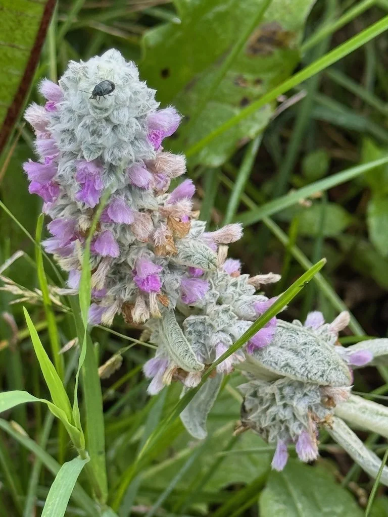
I took a few pictures of the quiet down in the stream after equipment was set up and before the students arrived. The river is very low this year but still picturesque.


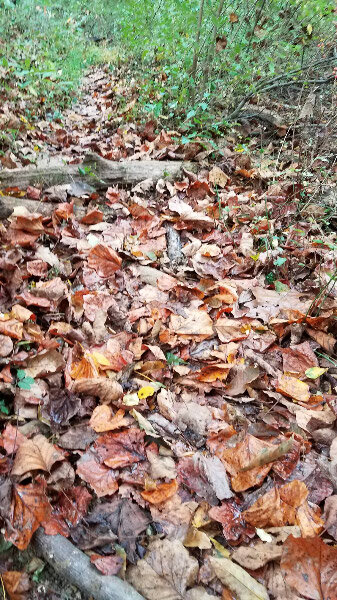
Once the students arrive, there is a flurry of activity with boots and macroinvertebrate finds/identification and chemical tests of the water. The students spend 2 hours in the river then hike back up the hill. Then we have a break before more buses arrive with more students from the same school. During that break, I always take the path up hill across the river from the path where we arrived some privacy. The path is covered with fall leaves and there are many Christmas ferns along the border.


There is even time for a snack…and then we have another 2 hours of focused activity. At the end we pack up everything and the students help us carry all the gear up the hill before they get on the buses to go back to school.