Schuette Prairie
/I visited my 4th prairie of the spring/early summer last week for a Missouri Prairie Foundation guided hike – Schuette Prairie. It was a late afternoon hike with occasional light rain and rainbows adding to the adventures. Some the of the prairie plants are beginning to look familiar to me! It’s good to see the progression of development over time and the differences in plant communities on each of the prairies.


Schuette’s Prairie has some woody plants that are kept at bay by periodic prescribed burns…but not actively eradicated. The woody plants we noticed were persimmon, winged sumac, button bush, and sassafras. The first two are pictured below. The button bush is an indicator that part of the prairie retains a lot of moisture.


There are also areas of the prairie that have very shallow soil over dolomite and there are stands of prairie dock that grow in those areas. The rest of the prairie has sandstone under the soil (and the soil layer is thicker).

Lead plant was a plant I remembered from precious prairie hikes. This time it was blooming and the contrasting colors popped in the late afternoon light.
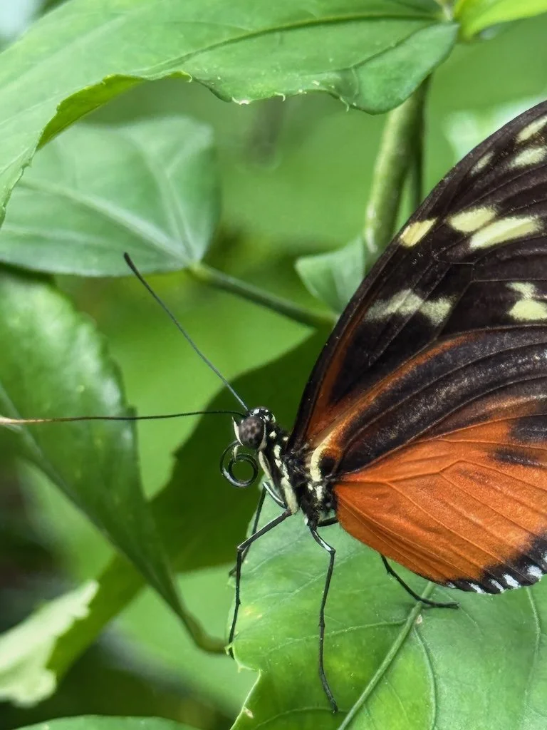
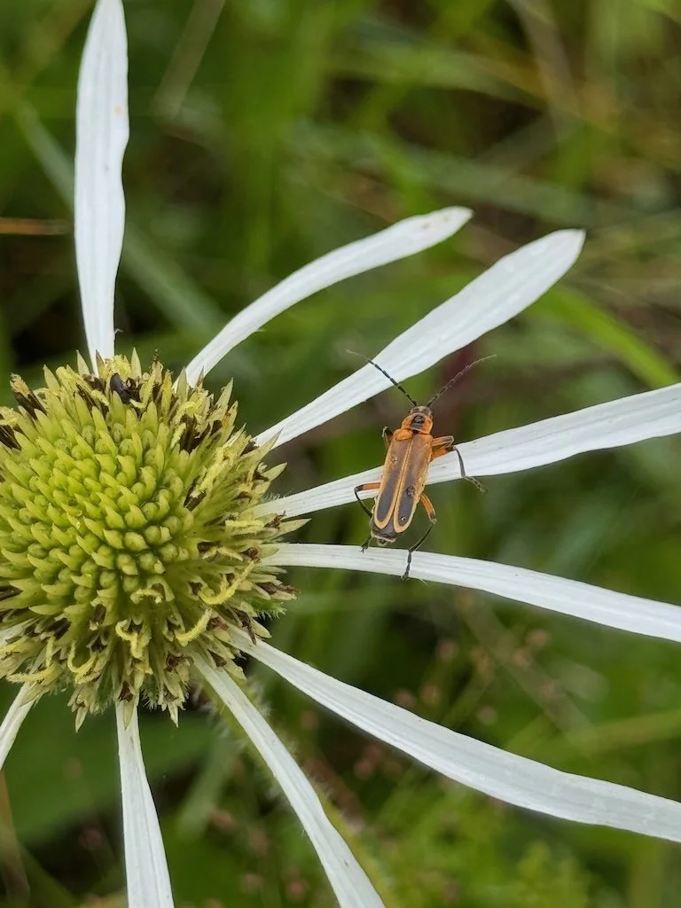
I saw more bugs that I was able to photograph. While it was raining, they were not as noticeable, but we had enough times when it was not raining to see them more active.


The compass plants are not blooming yet but their sandpaper leaves are very recognizable. They are a reason to come back again later in the season.


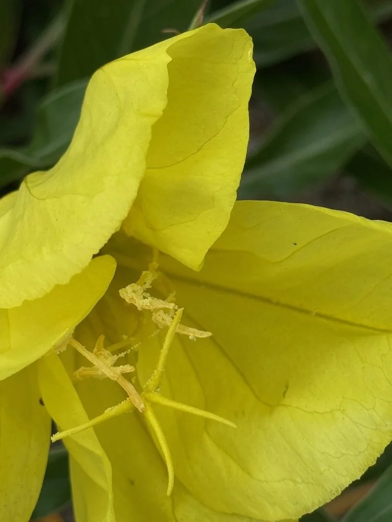
There were two types of coneflowers in bloom: Pale Purple Coneflower and Yellow Coneflower.


Goat Rue was a new-to-me plant. Maybe I had seen it elsewhere, but this was the first time I had seen them in bloom.


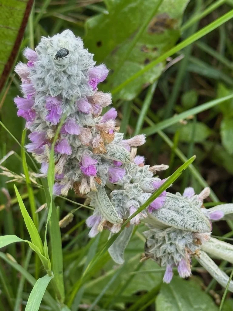
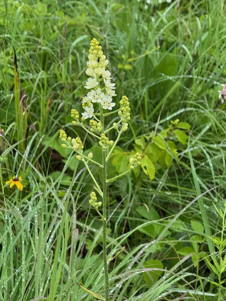
My favorite plant of the hike was the bunchflower. The flowers are showy and are above most of the other vegetation.


There were two kinds of milkweed. Neither one had any holes in their leaves….yet.


The orchids were blooming…small and down in the vegetation…worth noticing.


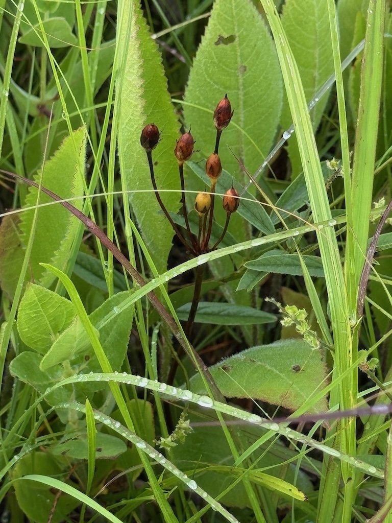
Quite a few of the prairie blazing star plants had galls in the very tip of the stalk…so they are not going to bloom normally…but the gall looked interesting at this stage.


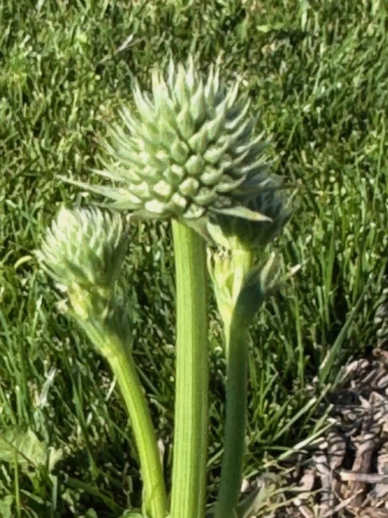
Rattlesnake master is another plant I remembered from previous prairie walks.
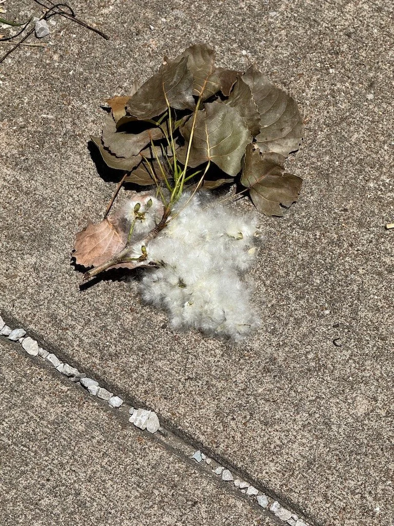
The shooting stars that I saw blooming on other prairies…were seeds on this one.
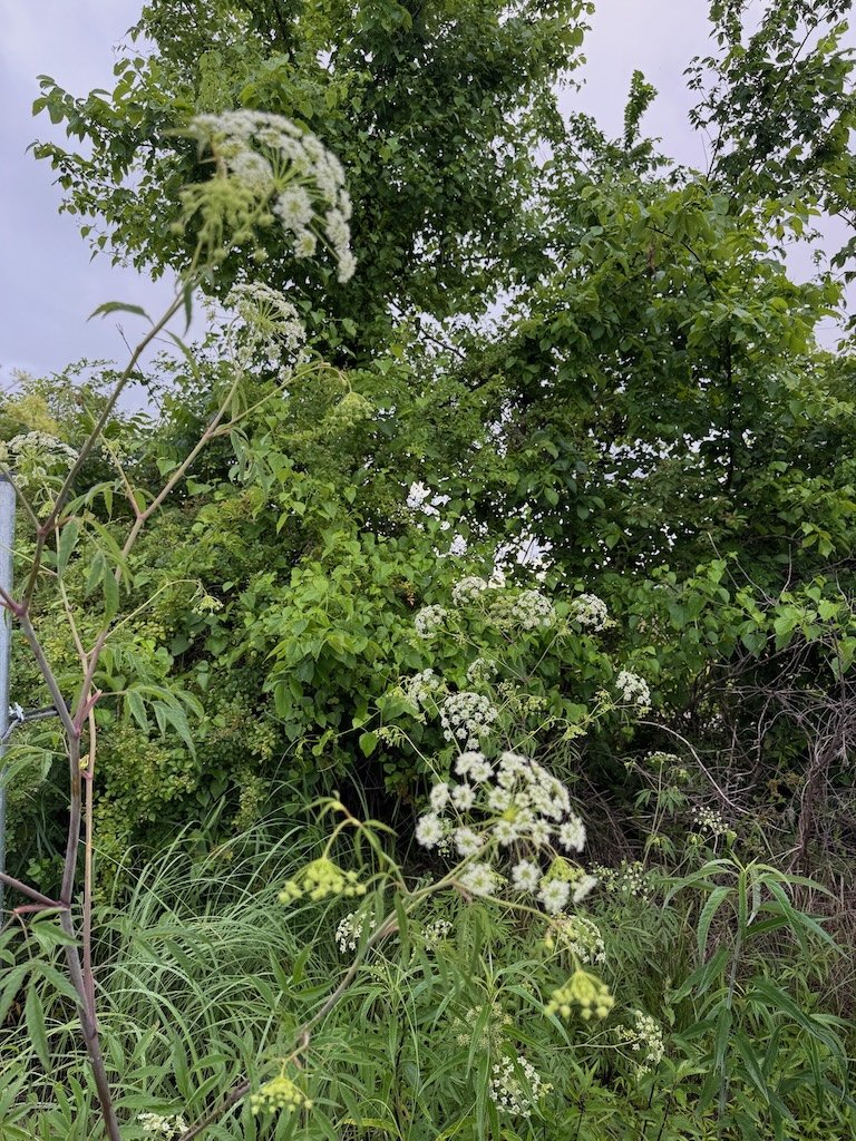
Near the parking area was a stand of poison hemlock….this is a plant I seem to be more aware of growing on roadsides this year.
And now for a slideshow of the rest of the pictures I took!


I even enjoyed the drive home after the hike was over; there were rainbows visible the whole way!
Previous blog posts about my recent prairie hikes:
Harold Prairie in late April
Noah Brown’s Prairie in early May
Linden’s Prairie in mid-May