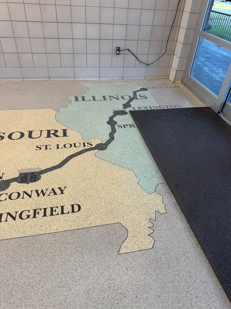
Sophie M. Sachs Butterfly House
/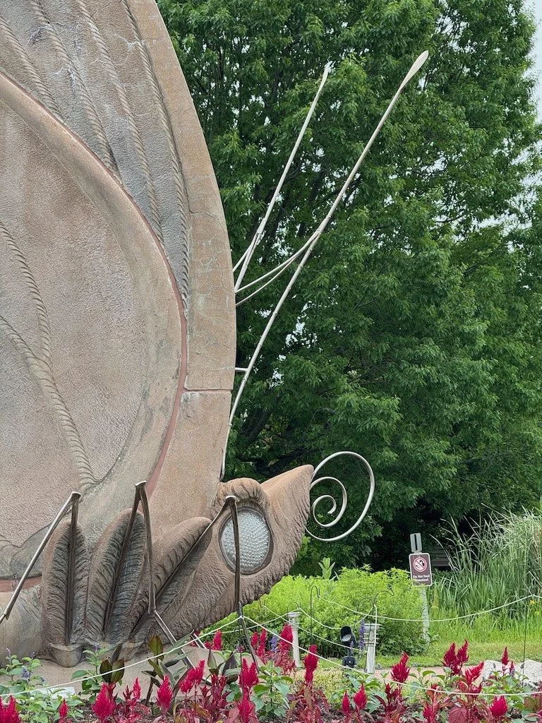
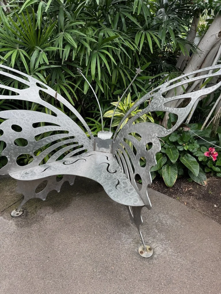
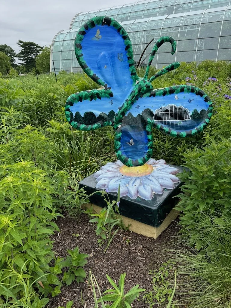
The Sophie M. Sachs Butterfly House is a division of Missouri Botanical Garden located in Chesterfield MO. Our membership in the Springfield Botanical Gardens Friends group got us free admission to the Missouri Botanical Garden on our first day in St. Louis and then, the next morning, to the butterfly house! There is a large butterfly sculpture near the entrance. We arrived shortly after they opened because we were concerned that it might be a day when school groups would be there for a field trip later in the morning.
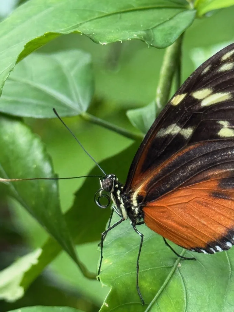
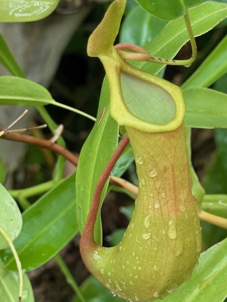
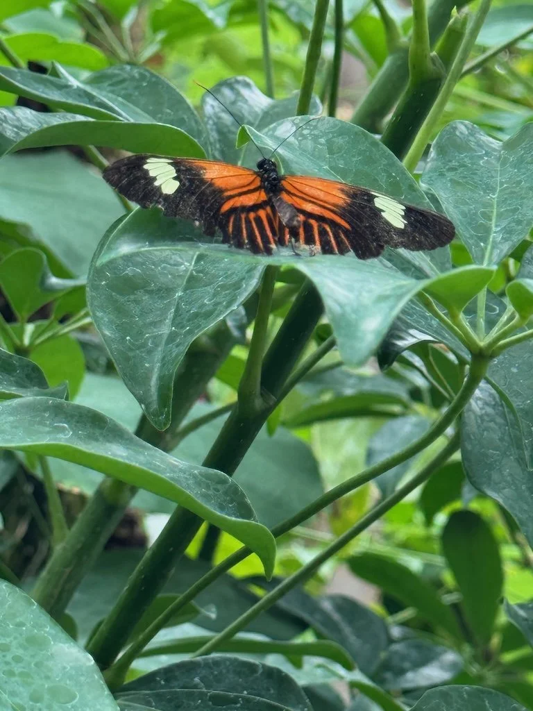
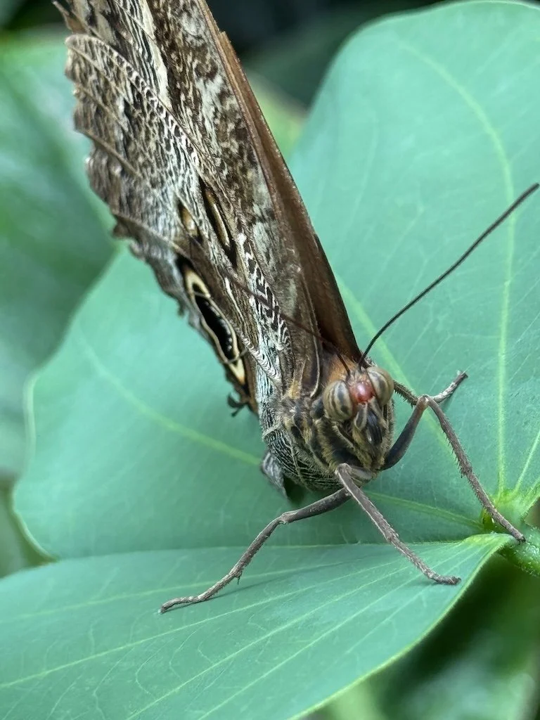
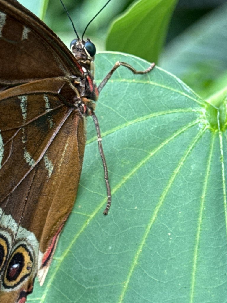
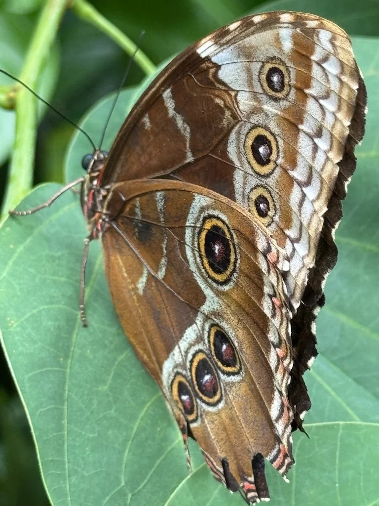
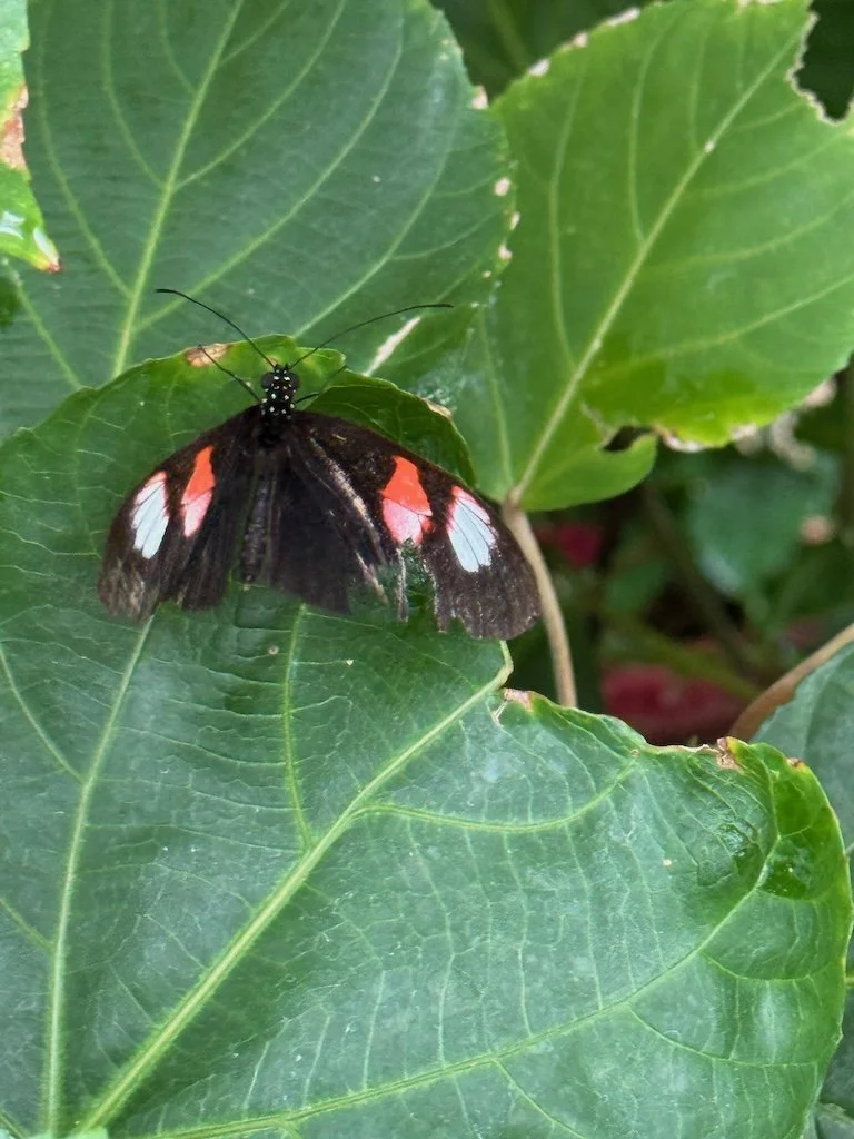
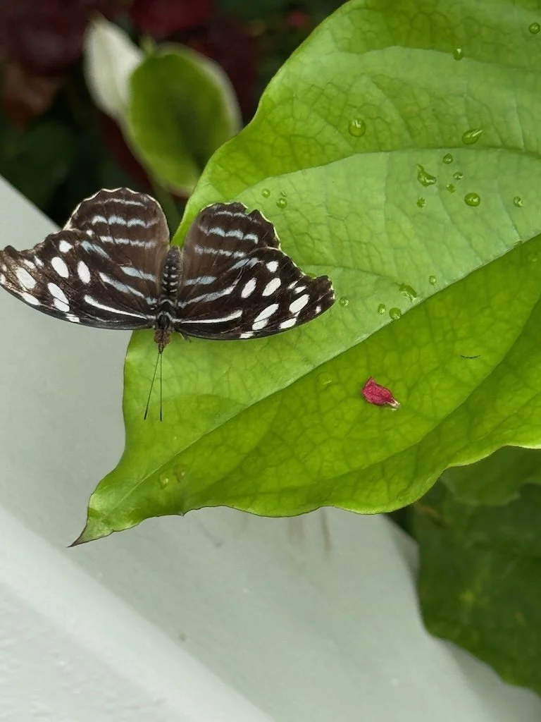
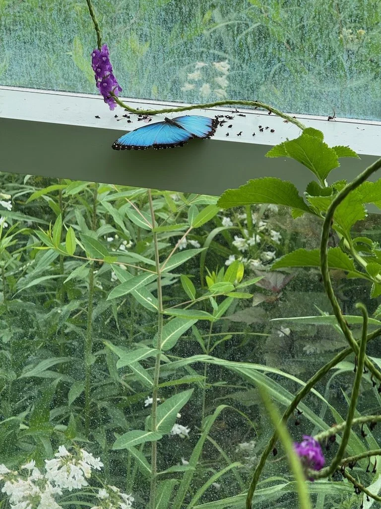
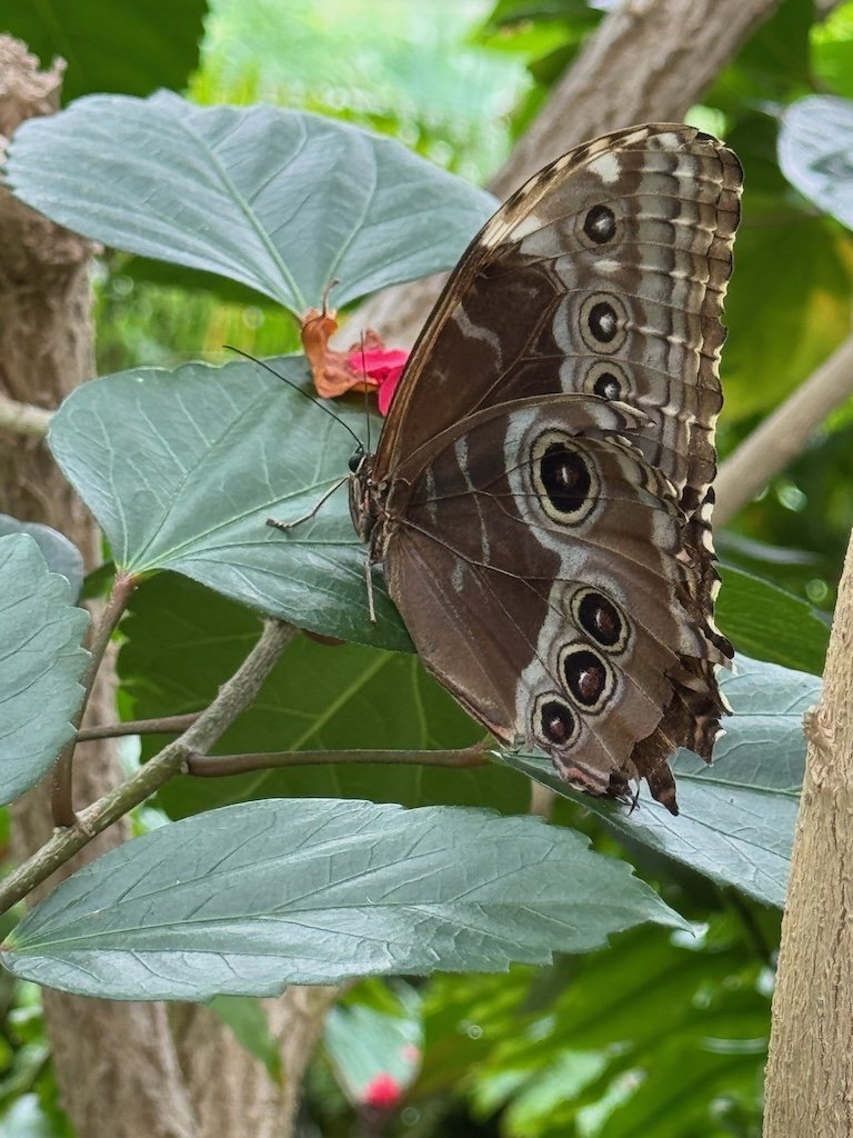
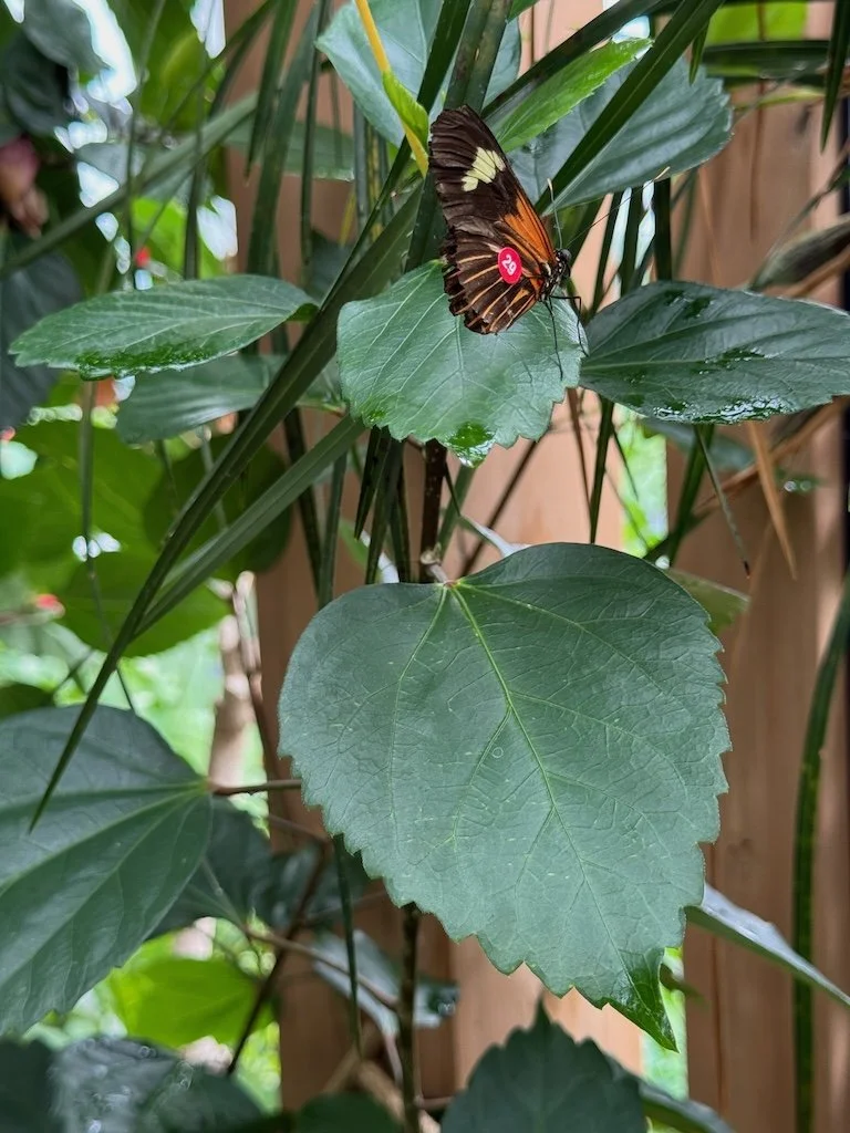
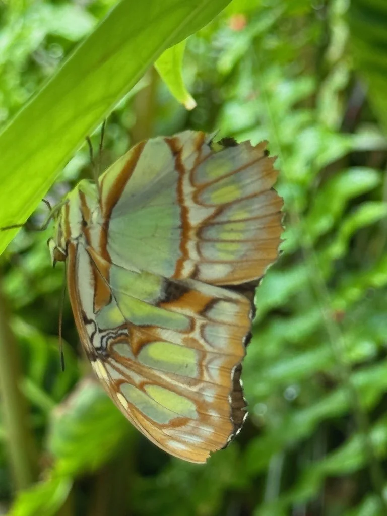
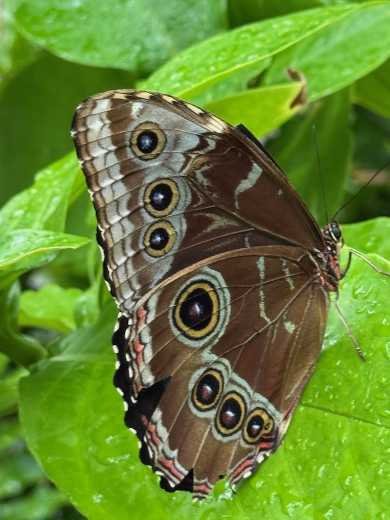
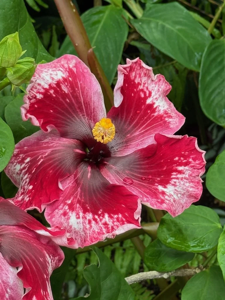
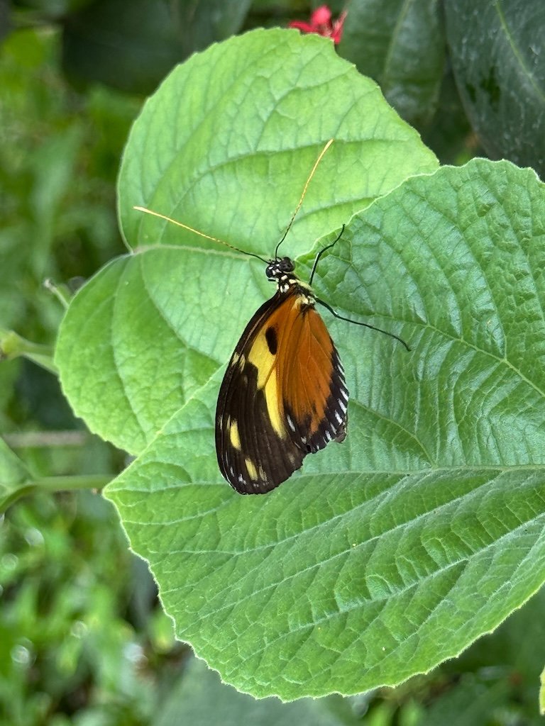
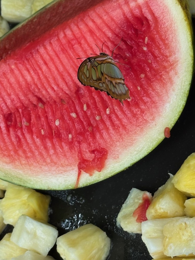
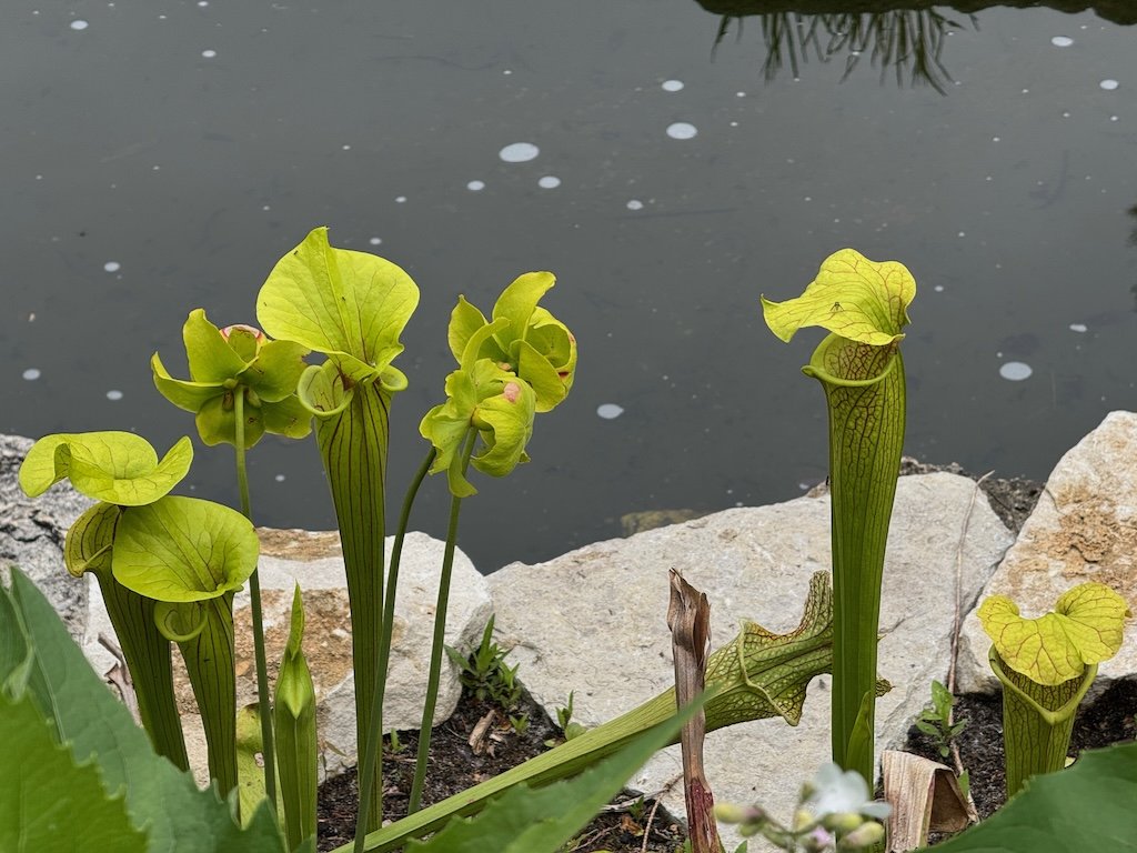
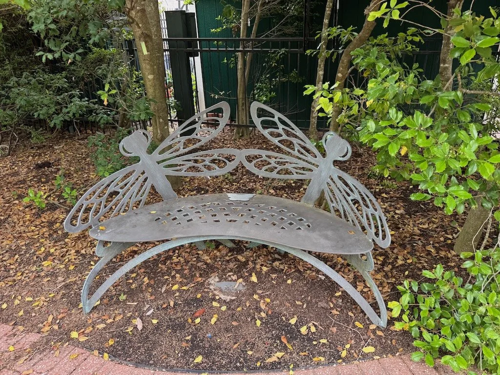
The conservatory was less crowded that my first visit over a year ago. It was warm enough that the butterflies were very active. Most of them are exotics (i.e. not native to North America) and I remembered most of them from visits to previous butterfly houses. Owls have one spot on their wing…blue morphs have lots of spots. The malachite is my favorite! I also liked seeing pitcher plants in the lush vegetation….and the insect themed benches.


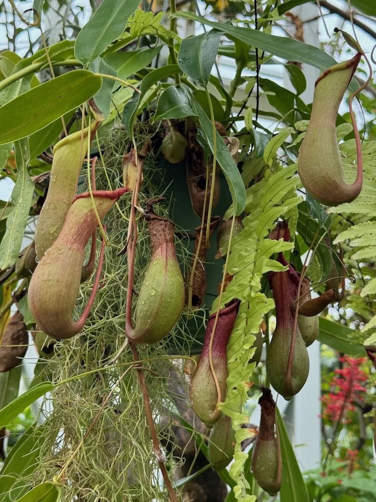


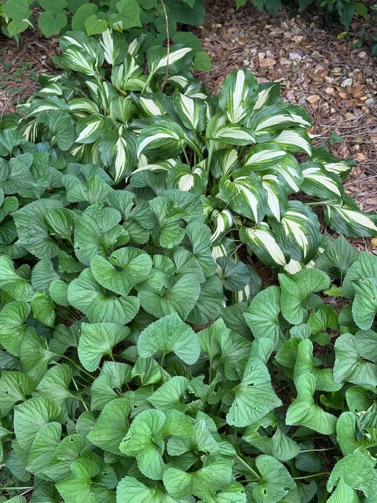
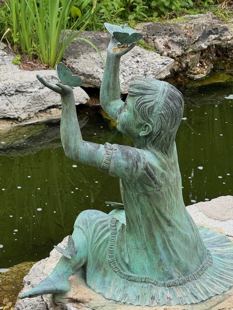
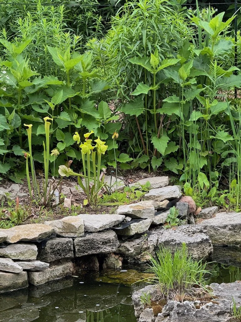
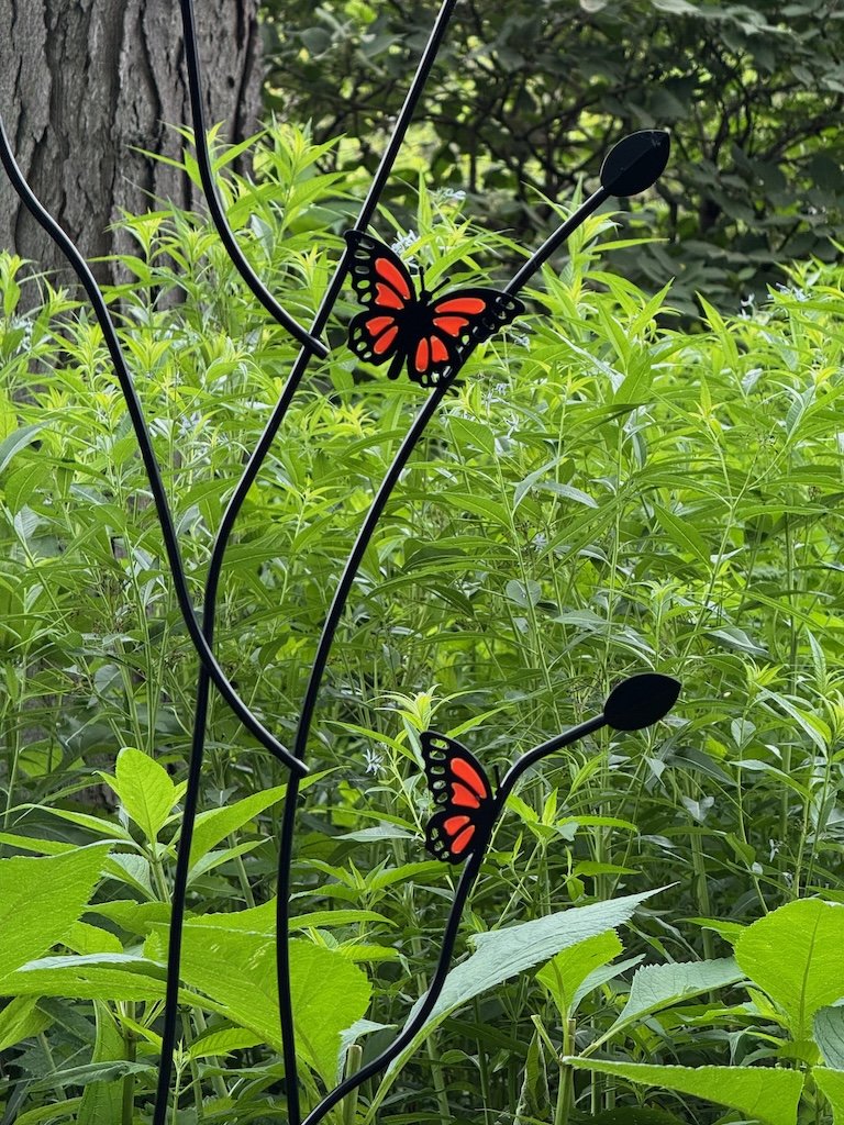
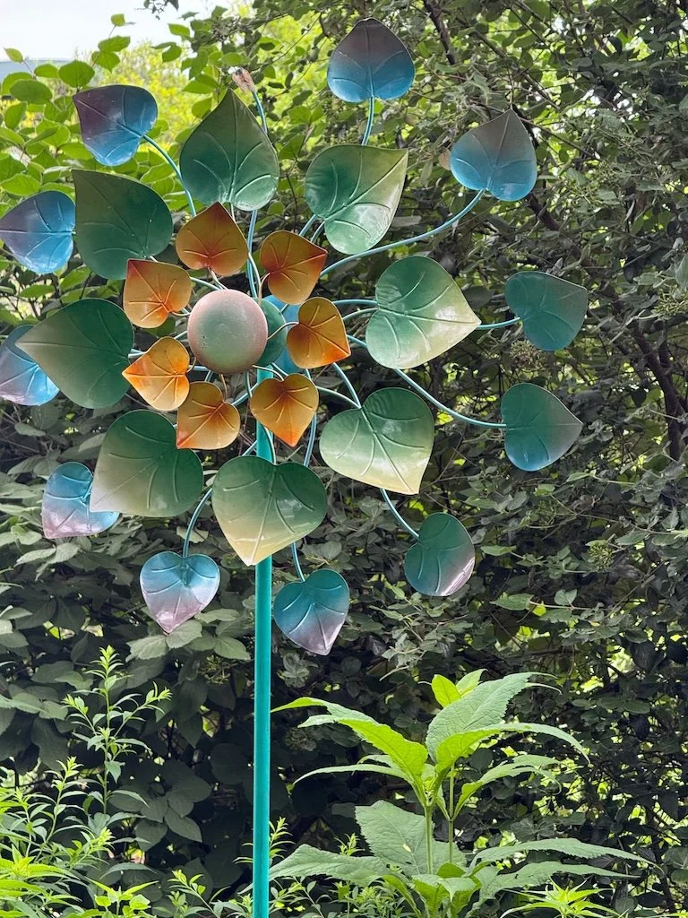
The enclosed garden just outside the butterfly house, features a statue of a young girl with butterflies and lots of native plants…including some larger pitcher plants….more insect themed benches.


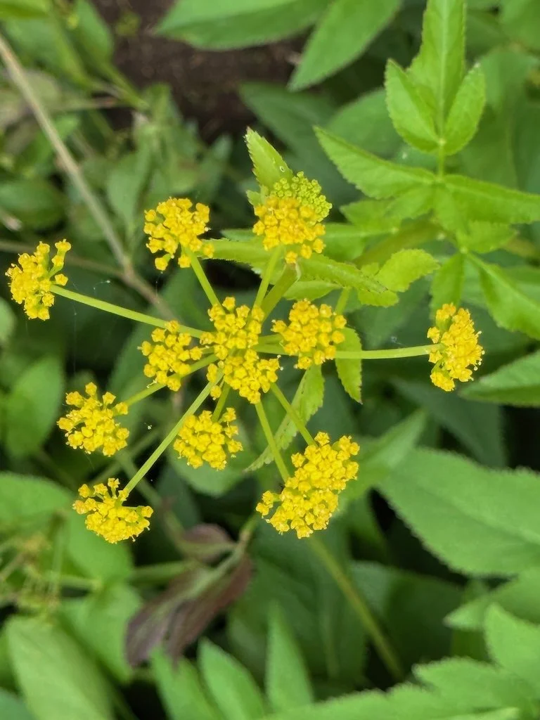
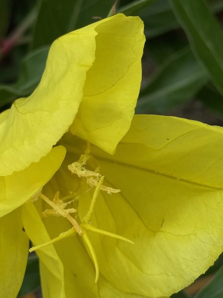
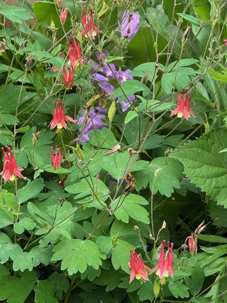
I recognized a plant in the garden that I have at home…and it had a sign: Virginia Sweetspire. My phone had identified it as Virginia Willow and I had thought it was wrong since it didn’t seem to be willow-like….but that is another common name for Virigina Sweetspire. I am thrilled that it is native to North American since I have two of them that came with my house! I also noticed stands of Missouri Evening Primrose – another great native in my gardens too.
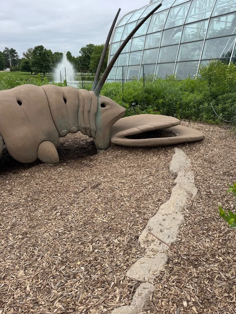
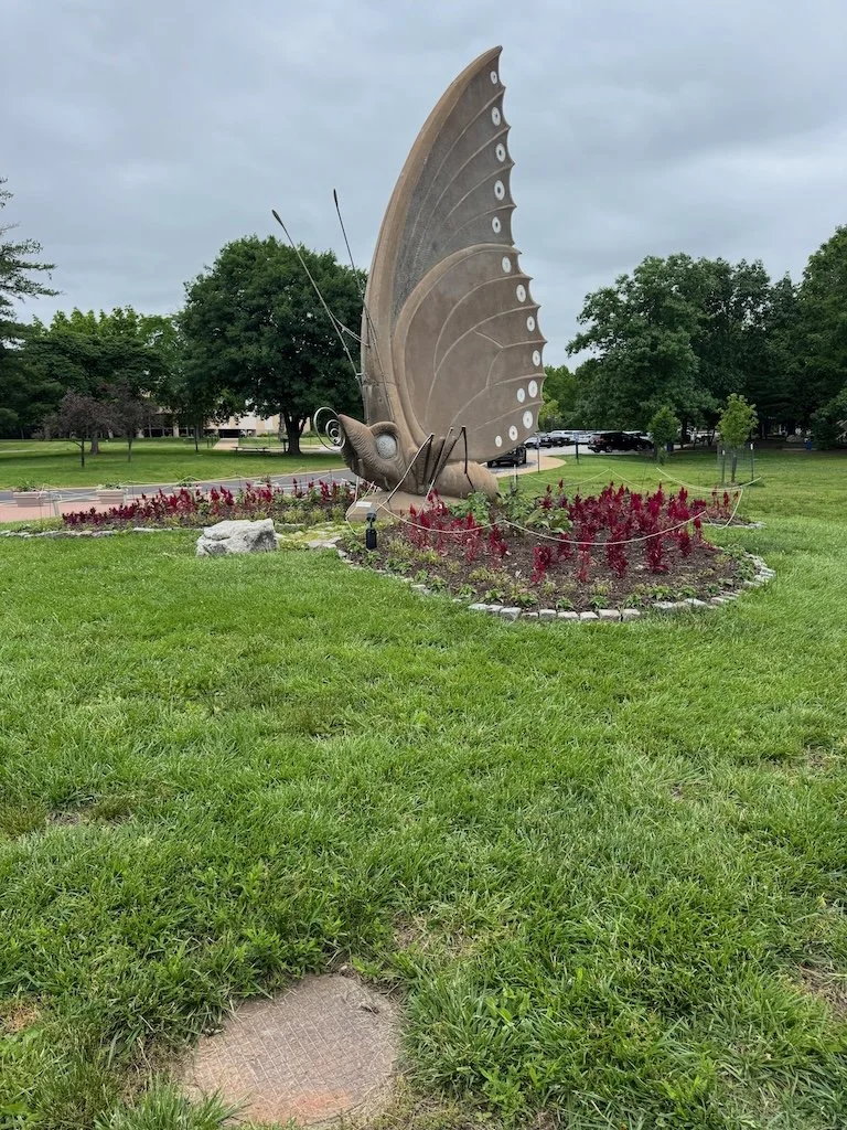
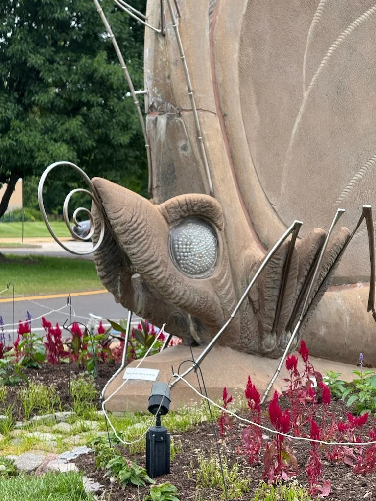
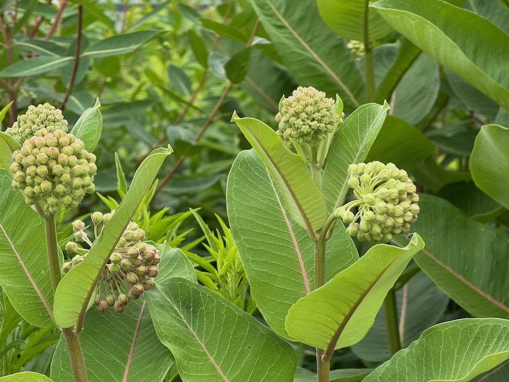
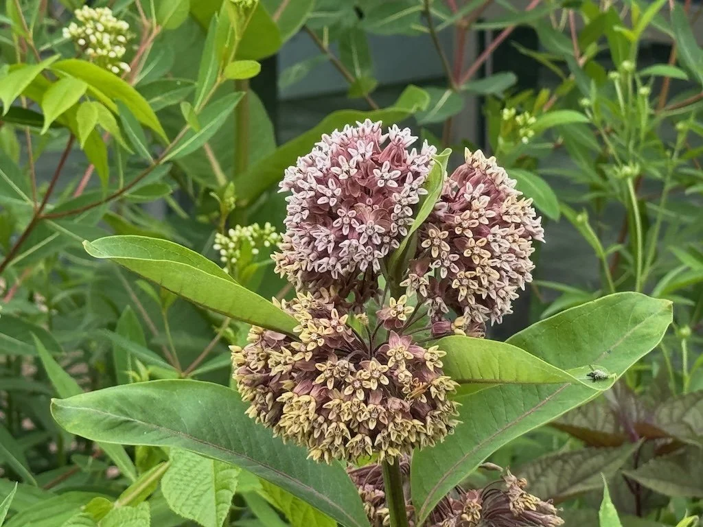
On the way back to the car, I took pictures of the giant caterpillar and butterfly sculptures…along with milkweed in various stages of blooming.
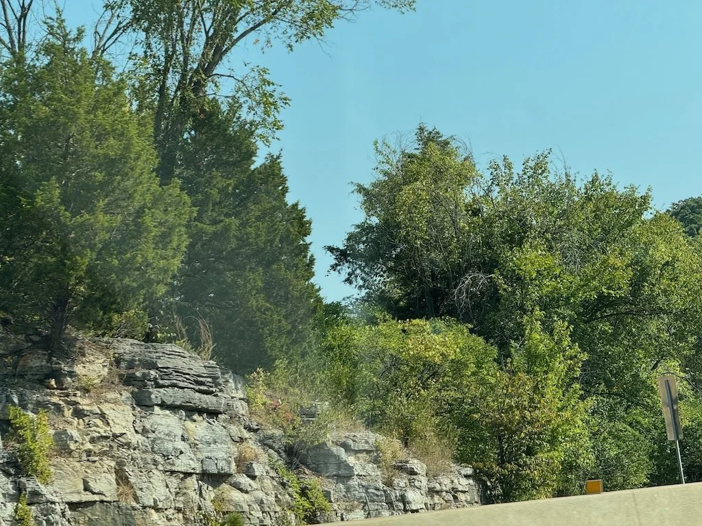
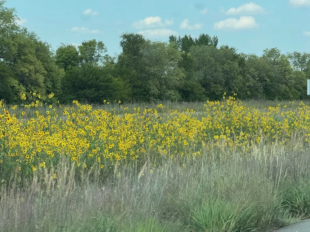
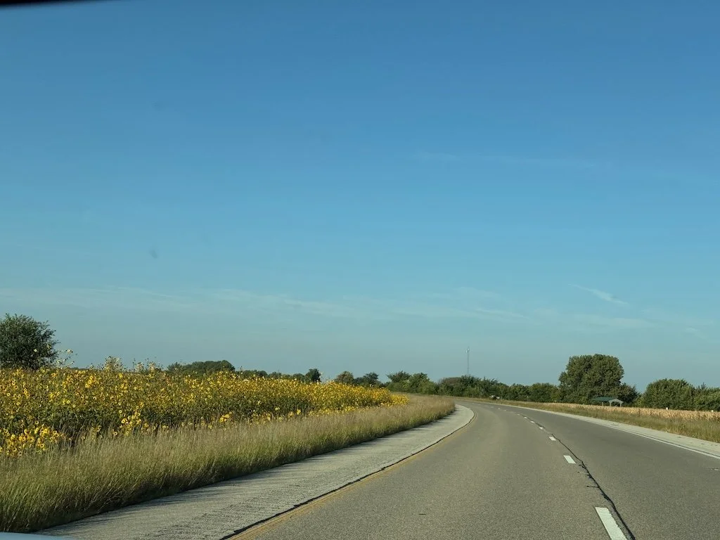
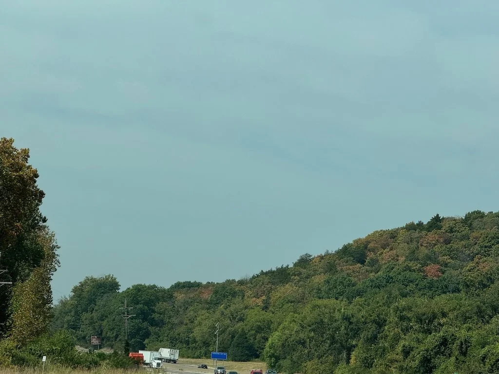
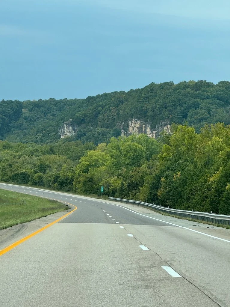
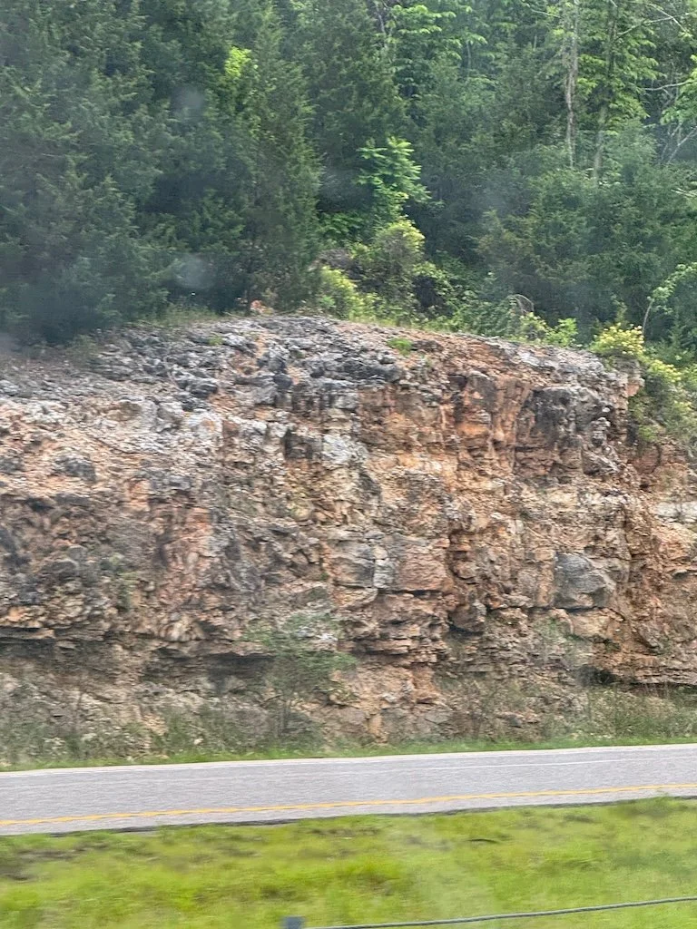
Since my husband was driving, I took a few roadcut pictures on the way home.

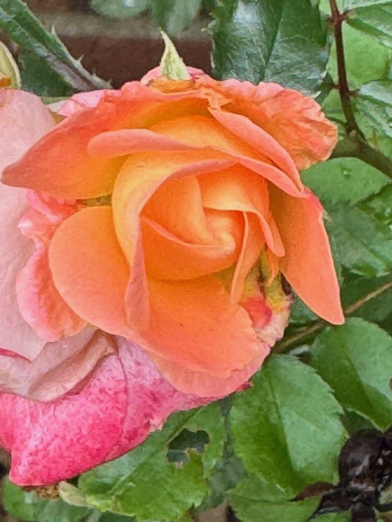
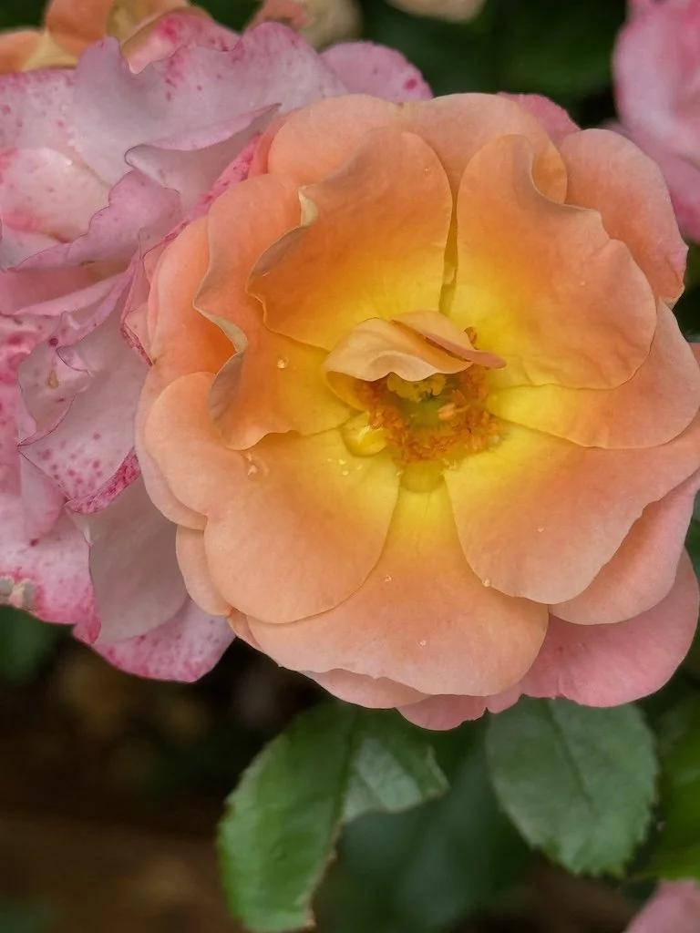
At my daughter’s house, I noticed that her miniature roses were blooming next to her driveway….an opportunity for some last photos…savoring the day.