Geology Field Trip (2)

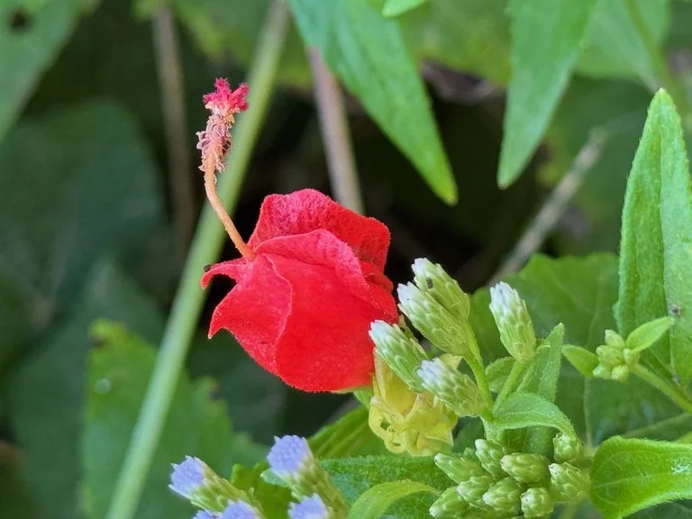
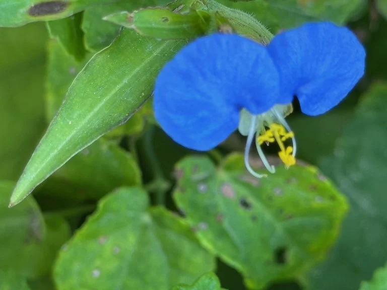
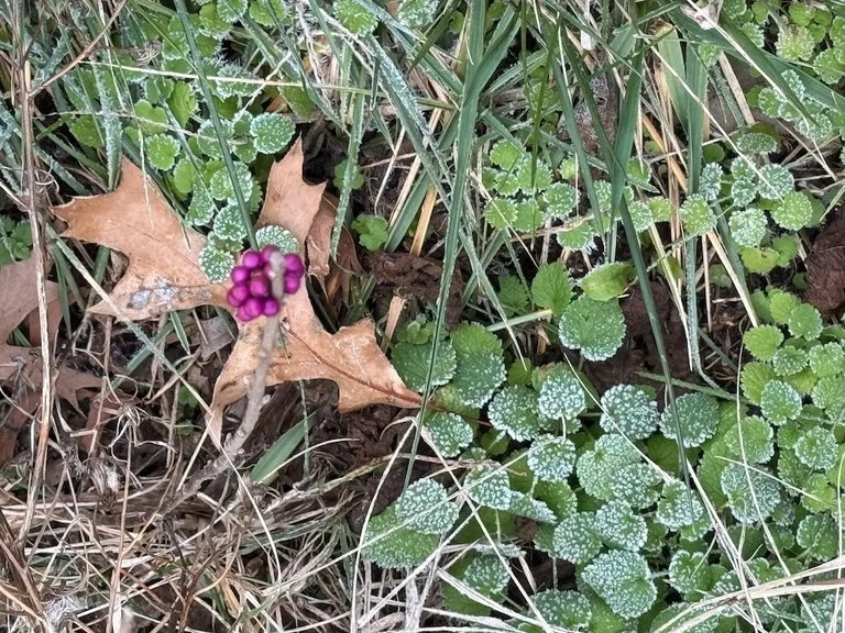
After eating our picnic lunch at the Springfield Conservation Nature Center, we headed out to stops along US 65 headed toward Branson. Our second stop (the nature center was the first) was at the MoDOT parking lot on East River Bluff Blvd. We walked across River Bluff and down onto the triangular shaped parcel of land between the southbound entrance ramp and US 65. There are outcropping there with fossils….including crinoids which are the state fossil of Missouri. There were flowers blooming along the roadside on our way to and from the fossils.

Here are the small fossils I picked up

We were in the Burlington part of the rock column. Most of us took pictures of the reference page our guide showed us to help us understand what we were seeing.

The third stop was the Ozark Post Office which is not far from US 65 and is across the street from a road cut that shows the boundary between the Burlington and Elsey layers.

The fourth stop was at the Branson (Saddlebrook) Welcome Center. We walked north on the west side of US 65 until we could see the roadcut on the east side of the highway. The rocks are all in the Cotter layer. The black weathering is from manganese in the rock. The area was an ancient tidal flat; the V shaped structures in the rock are channels where the water flowed in and out.

The fifth stop was also in the Cotter layer…and was an area to see fossilized stromatolites! We pulled into a wider shoulder area off US 65 just north of Saddlebrook Dr. There were layers of shale where water was trickling out and plants were beginning to grow.

My knee was hurting enough that I did not climb to the top of the road cut (via a drainage channel) to see the stromatolites from the top, but I did observe them from the base of the roadcut. They look a bit like a funnel.

I also picked up rocks: patterns of ancient ripples and a sandwich (thin layers of bluish chert with sandstone between them).

The sixth stop was a bit further north on US 65 to see the Highlandville Fault…where there is a crack in the face of the roadcut clearly visible.

So much to see…we ran over our allotted time by more than an hour!

Joplin History and Mineral Museum

My daughter and I picked a sunny day before Christmas for a ‘field trip’ to the Joplin History and Mineral Museum. It was the first of my planned geology field trips in the coming months; as soon as I realized that the Missouri Master Naturalist training did not include a geology segment, I started thinking about how I could educate myself and field trips are probably my favorite options.

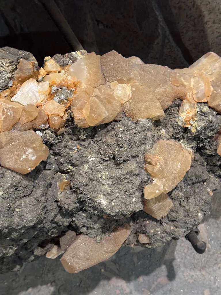
Joplin has a lead-mining history so many of the minerals on display include galena (black cubes usually). There were big chunks of rock and crystals. The smaller items were in glass enclosed cases around the edge of the room…large pieces on stands in the center. The labeling was well-done with numbers by the specimen and then signage nearby with the information about the specimen.

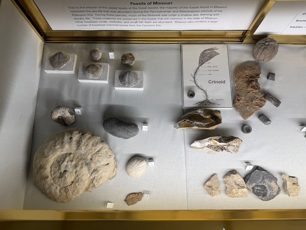
On the landing of the stairs was a case of Missouri fossils and ancient Native American artifacts. I liked the poster of different types of arrowheads.

The history side of the museum included a cookie cutter museum. I was intrigued by a circular one from Mexico with multiple shapes inside….very little dough to roll out again. They used a set of state shaped cookie cutters as part of the transition to the Route 66 part of the museum.

There was a room with models of circuses and a Victorian doll house. The doll house has plastic over the open side…but it looked like the model dog had run around and knocked over things (the Christmas tree on its side…a book and lamp pushed off a table); I told the person at the desk and we both chuckled. The doll house has had the plastic barrier on it for a long time, but the house has been moved recently and the jostling might have been enough to knock over the items.

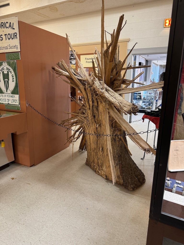
There was also a display of the very destructive 2011 tornado in Joplin which tried to show how destructive tornados can be. The twisted muffin tin was the first item that caught and held my attention. Not far away there was a tree that had been splintered. I read more about the event when I got home and discovered that the tornado’s upheaval of the soils along its route caused re-contamination from lead mining remnants in southern Joplin…so the natural disaster recovery had a linkage to the city’s lead mining history too.

Outside there was a bench painted with wildflowers and towers of Missouri rocks. There was a metal sculpture that was interesting too.

My daughter and I had a pleasant lunch at Los Primos Mexican Grill in Joplin….sharing guacamole at the beginning and flan at the end of the meal.

Our next stop was Grand Falls – not far off I-44 west of Joplin. The lower falls is Grand Falls Chert, at 20 to 30 foot think bed of pure chert in an area otherwise dominated by limestone. The chert is extremely resistant to erosion because it is made of silica. The falls is the state’s broadest continuous flowing waterfall.

On the way home toward Springfield, my daughter looked closely at the road cut at mile marker 27.0 as I drove by and saw that the Chesapeake Fault Zone displaces the beds by a few feet toward the western end of road cut on the north side of I-44.

Both the Grand Falls and Chesapeake Fault Zone geology minutes were prompted by a few paragraphs from Roadside Geology of Missouri by Charles G. Spencer.

Overall – a good first ‘geology’ field trip.