Geology Field Trip (2)
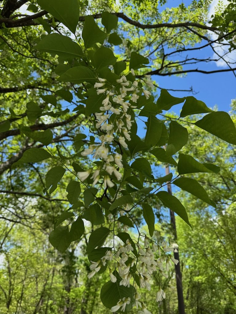
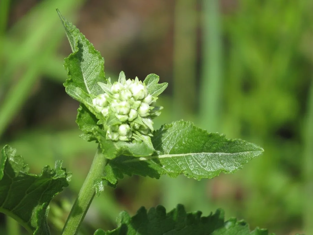
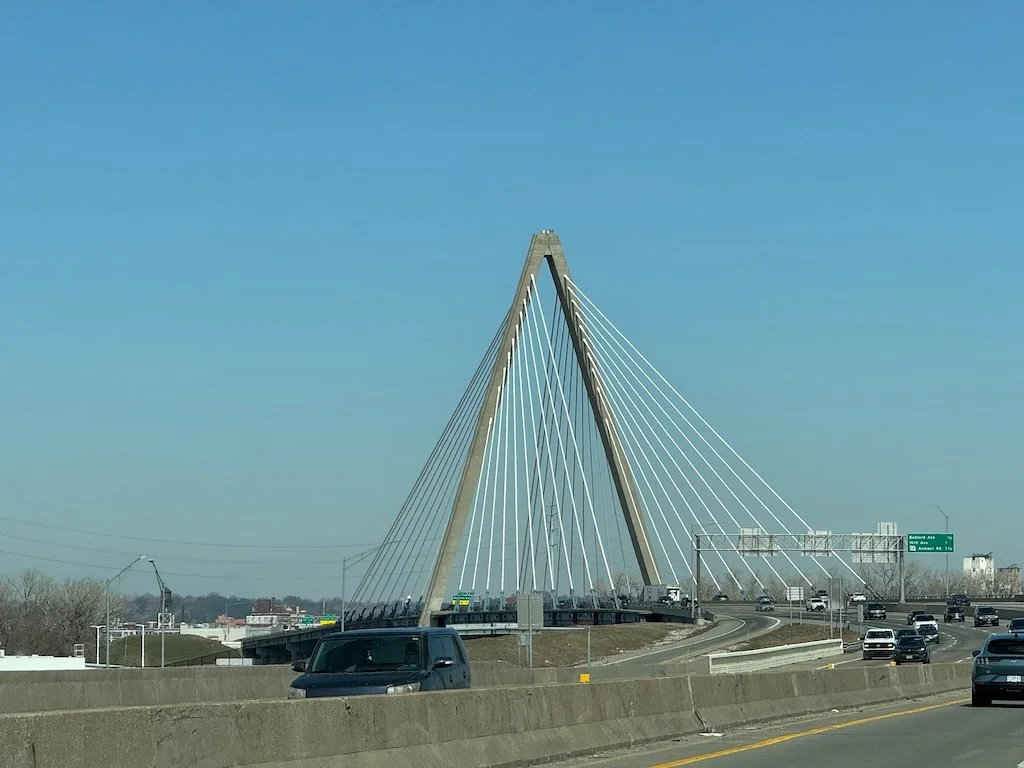
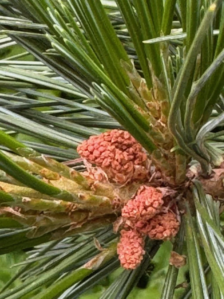
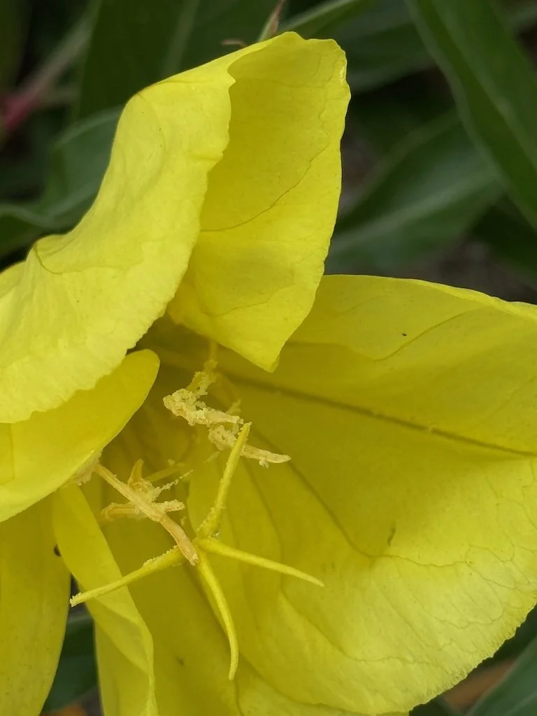
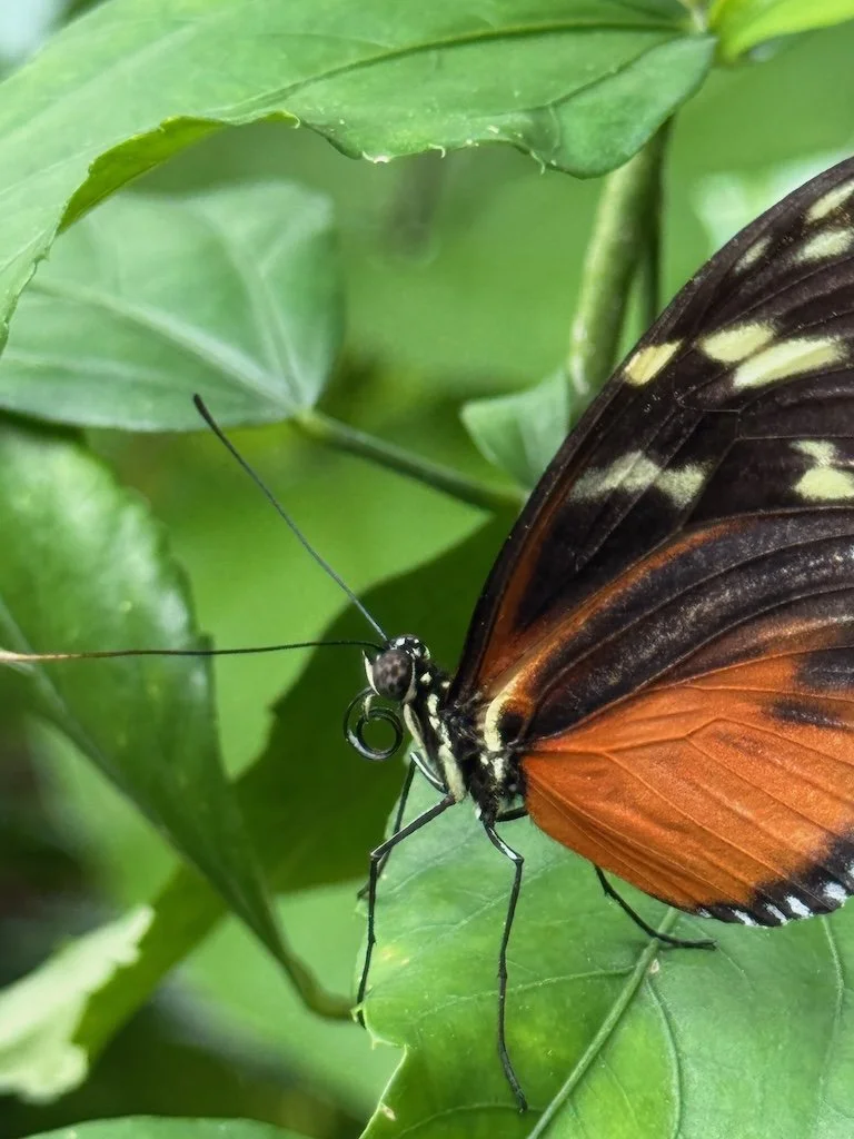
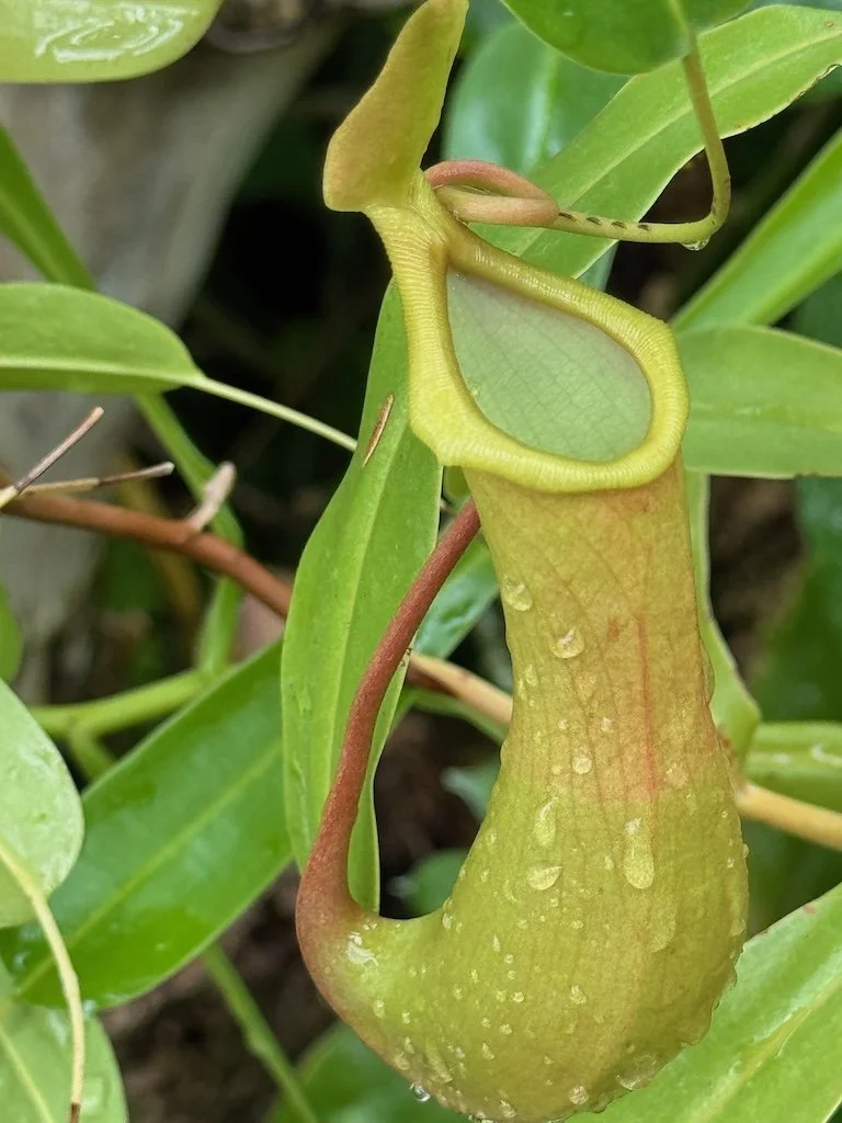
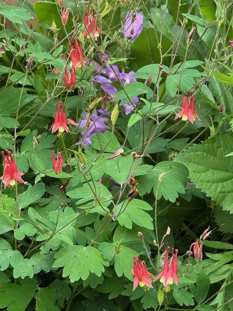
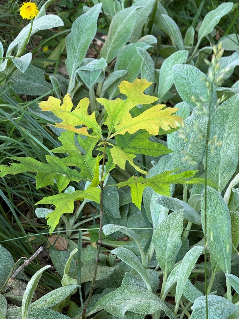
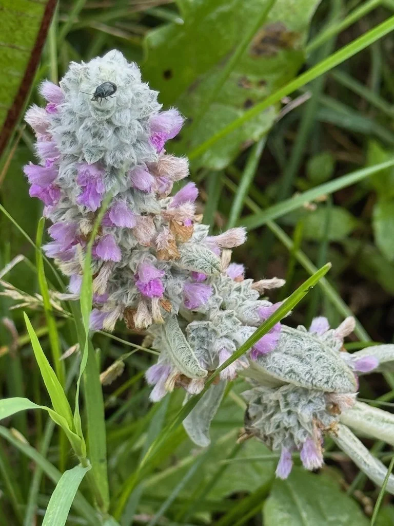
After eating our picnic lunch at the Springfield Conservation Nature Center, we headed out to stops along US 65 headed toward Branson. Our second stop (the nature center was the first) was at the MoDOT parking lot on East River Bluff Blvd. We walked across River Bluff and down onto the triangular shaped parcel of land between the southbound entrance ramp and US 65. There are outcropping there with fossils….including crinoids which are the state fossil of Missouri. There were flowers blooming along the roadside on our way to and from the fossils.

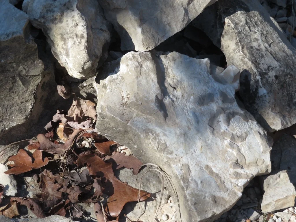
Here are the small fossils I picked up

We were in the Burlington part of the rock column. Most of us took pictures of the reference page our guide showed us to help us understand what we were seeing.

The third stop was the Ozark Post Office which is not far from US 65 and is across the street from a road cut that shows the boundary between the Burlington and Elsey layers.

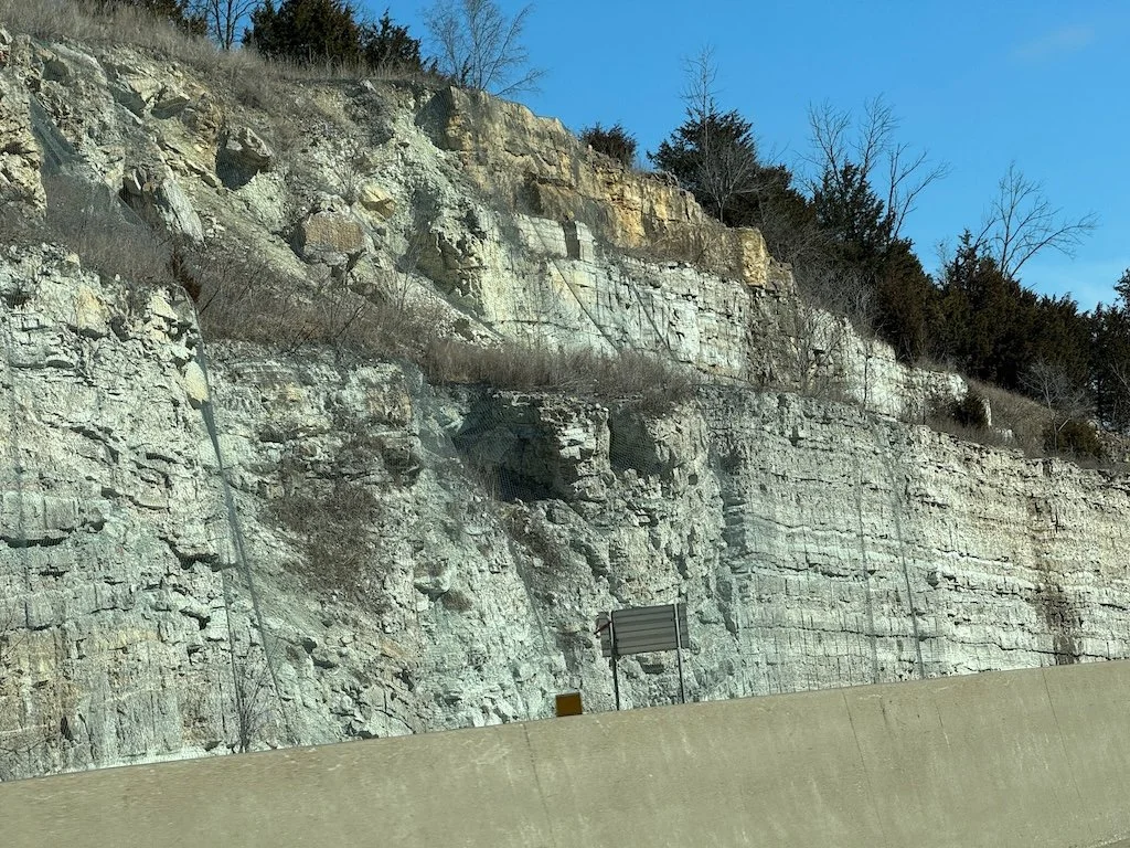
The fourth stop was at the Branson (Saddlebrook) Welcome Center. We walked north on the west side of US 65 until we could see the roadcut on the east side of the highway. The rocks are all in the Cotter layer. The black weathering is from manganese in the rock. The area was an ancient tidal flat; the V shaped structures in the rock are channels where the water flowed in and out.

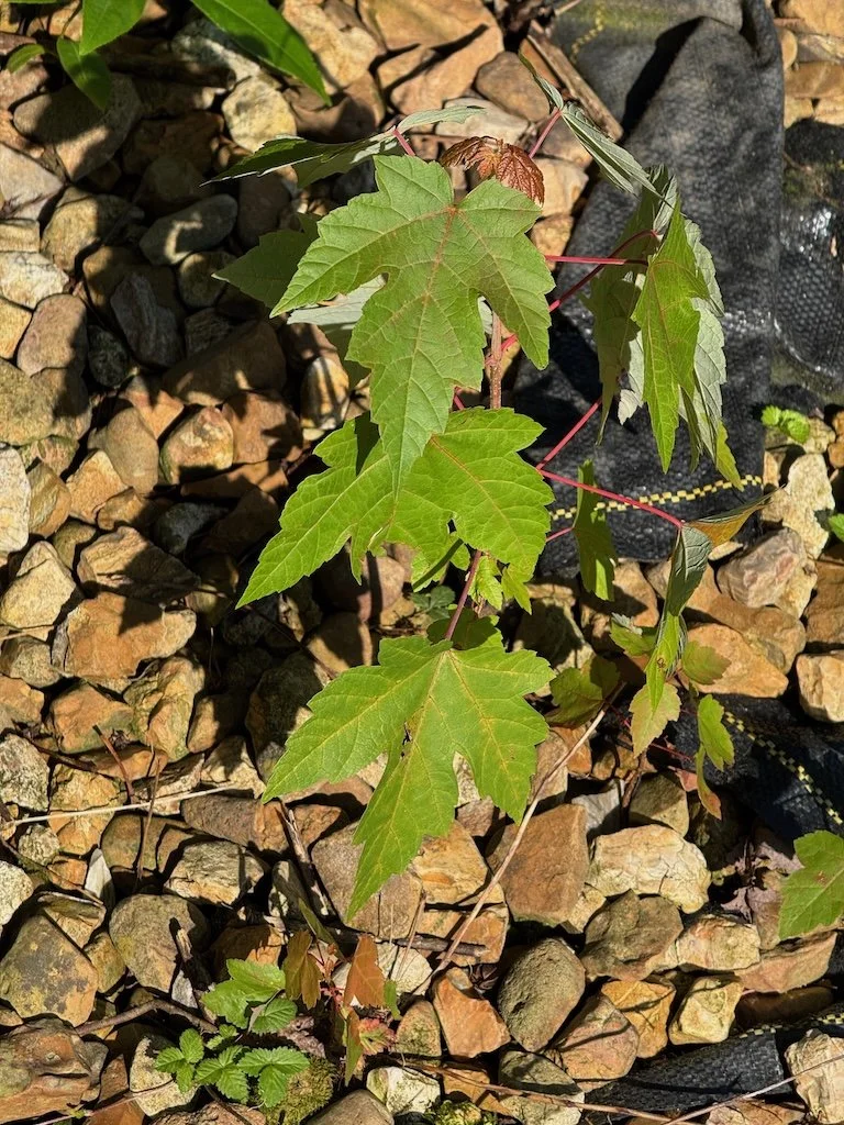
The fifth stop was also in the Cotter layer…and was an area to see fossilized stromatolites! We pulled into a wider shoulder area off US 65 just north of Saddlebrook Dr. There were layers of shale where water was trickling out and plants were beginning to grow.

My knee was hurting enough that I did not climb to the top of the road cut (via a drainage channel) to see the stromatolites from the top, but I did observe them from the base of the roadcut. They look a bit like a funnel.

I also picked up rocks: patterns of ancient ripples and a sandwich (thin layers of bluish chert with sandstone between them).

The sixth stop was a bit further north on US 65 to see the Highlandville Fault…where there is a crack in the face of the roadcut clearly visible.

So much to see…we ran over our allotted time by more than an hour!

Geology Field Trip (1)

The geology field trip associated with the university class I took this spring was cancelled because of weather, but the one that was a follow-up to a Missouri Master Naturalist lecture happened on a beautiful spring day in early May! We started out at the Springfield Conservation Nature Center…the longest hike of the trip with stops along the way to see examples of

  • (Chert nodules)

  • Sedimentation – erosion and deposition

  • Soil creep

  • Bluffs and rock fall

  • Spring

  • Sinkhole

  • River meandering

Most of my pictures were not about geology! I noticed the turtle and water plants in the sedimentation area. It is easier to take pictures of landscapes than geologic features. The hike was over boardwalk and forest trails. The only place the trail was muddy/wet/slippery was where the spring water ran over it. Overall, it was a great hike…and I was ready for lunch afterward. If I do the hike again on my own, I will take it a bit slower; I’ve learned that my knees get sore with a lot of walking on uneven surfaces.

The botanical highpoint of the day was wild ginger in bloom!

A jack-in-the-pulpit was a close second.

From a tree perspective, seeing a young sassafras and a black locust in bloom was great too.

Near the nature center – there are plantings of native wildflowers. They had a cage around the lady slipper orchid that was blooming.

More tomorrow on the rest of the Geology Field Trip…

Learning about Missouri Geology – April 2025

In late March – after the monthly Missouri Geology post, my daughter and I visited Cedar Gap Conservation Area. I posted about the vegetation (spring wildflowers) and the tail itself here and saved the ‘rock’ pictures for this post. Most of the pictures are from along the trail.

The most interesting rock of the trip was found down near the stream by my daughter; I’m not sure how she found it in the jumble of rocks!

The geology lab for Missouri Master Naturalists that was a follow up to the geology program I’d arranged for last February focused on minerals. There were 8 sets of trays with a total of 24 minerals and we practiced the process to identify them! It was a learning experience. I realized that there might have been a better class for learning to id rocks and minerals than the geology course I am taking….and it is for educators (not sure that non-degree seeking students can take it).

Last week my daughter and I visited Onondaga Cave and Bennett Springs State Park….I’ll be posting about that trip soon. Both had a geology component too.

Learning about Missouri Geology – March 2025

We took two road trips over the past month --- opportunities to observe Missouri geology along the roadsides! My copy of Roadside Geology to Missouri has been a good reference.

The first was from our home near Springfield MO to St. Louis. Interstate 44 dominates the route and there are plenty of roadcuts first on the Springfield Plateau then the slightly lower Salem Plateau…finally down the northeastern flank of the Ozark Dome close to St. Louis. Our day trip was on a sunny day, so it was easy to take pictures.

One of the most interesting road cuts is at the north side of the rest stop near mile marker 235. The Roadside Geology book says – “Tilted blocks of Pennsylvanian sandstone and shale….are part of a down-dropped block of rocks along a fault zone or a filled-sink structure, or perhaps both.” I took pictures from the south side of the road as we were going toward St. Louis

And then one as we passed by on the return.

We noticed caves and state parks along the way and are planning a ‘field trip’ in April to see some of those.

The second was from our home near Springfield MO to Loess Bluffs National Wildlife Refuge near Mound City MO. The route took us from the Springfield Plateau to the Salem Plateau…then the Osage Plains as we turned toward Kansas City and crossed the Missouri River…finally to the Glaciated Plains of Northern Missouri. The day was sunny, making photographs of road cuts as my husband drove possible. I even got two pictures of the roadcut near out home as we set out!

The road cuts were less pronounced as we got further along…and more crumbly. On a botanical note – the sycamores are easy to spot this time of year.

I was so busy photographing overpasses and the bridge at Kansas City that I didn’t realize the bridge was over the Missouri River!

The Loess Bluffs (in this case roadcuts) look very different than the roadcuts further south. The loess here is from the edges of glaciers of the last ice age. Plants sometime can take root…but often sluff off and the loess is revealed again.

And then we reversed toward home.