Helicopter over Hawaii
/
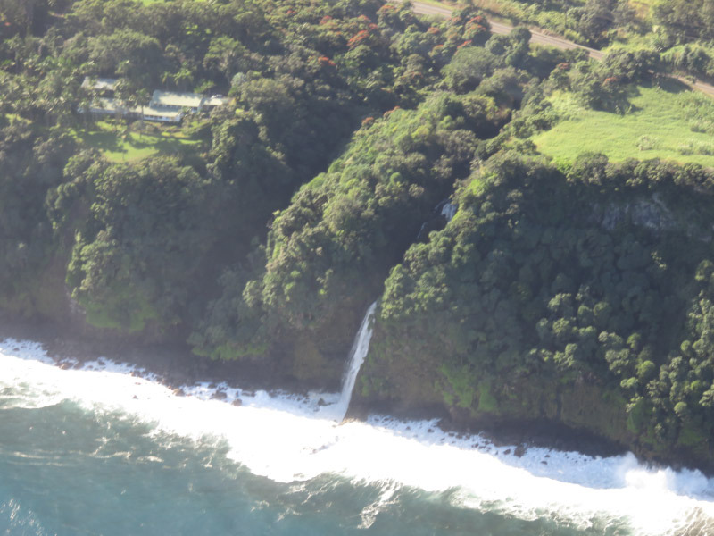
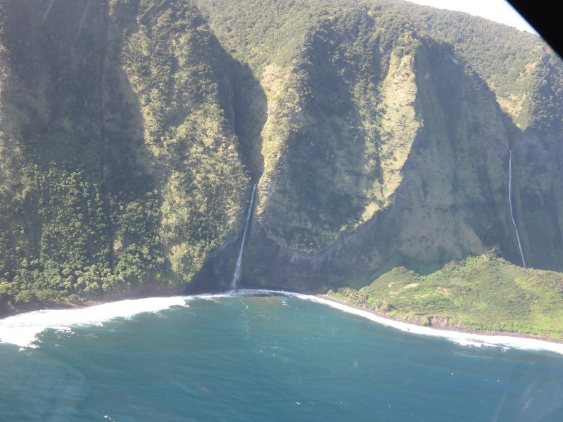
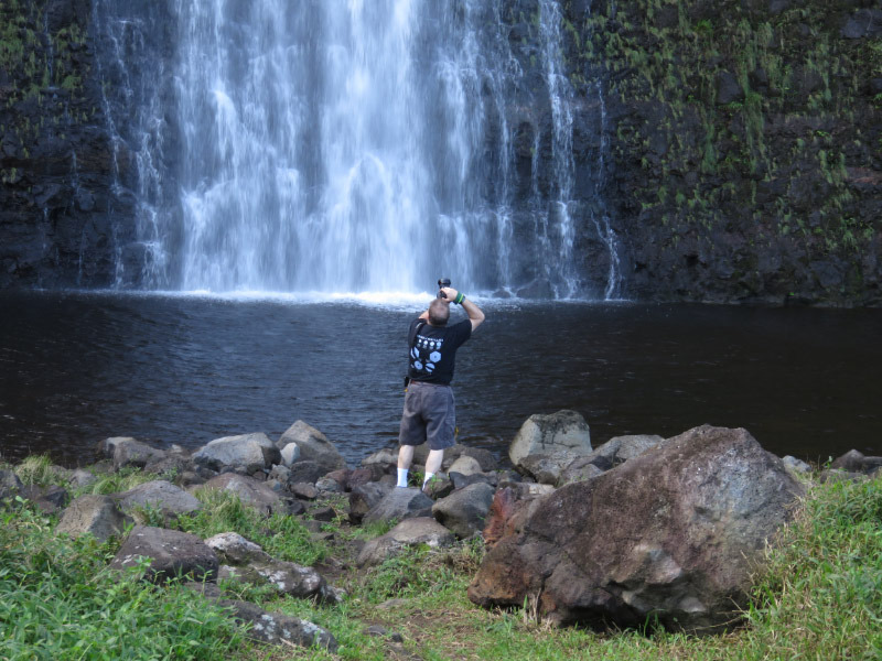
We took a helicopter ride to get a better look at volcanoes and waterfall….the overall terrain of the Big Island. It was quite an experience. My seat assignment was in the middle front (seating was three across in the front and 4 across in the back). We made a loop around the island over a two-hour period. A little over half way through we landed at the bottom of a 400-foot-high waterfall. A narrow strip of land divides the waterfall from the ocean. The land is privately owned so not something that can be seen except via a helicopter tour that has obtained permission.


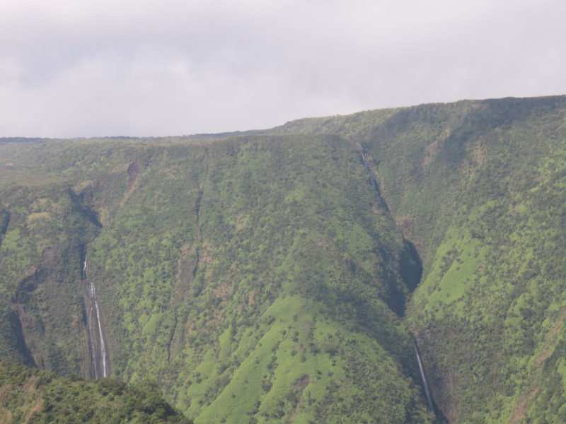
Afterwards we flew up one of the valleys and saw more waterfalls. Some of them were in areas that could be hiked…but they would definitely take a lot of energy to see and, based on my other experience in the rain forest, might be very difficult to see through all the foliage on the ground.
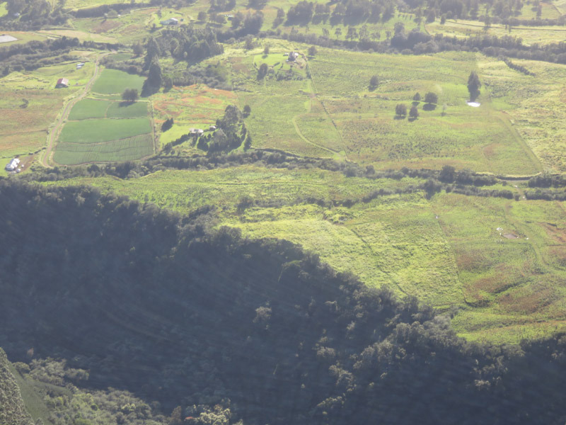
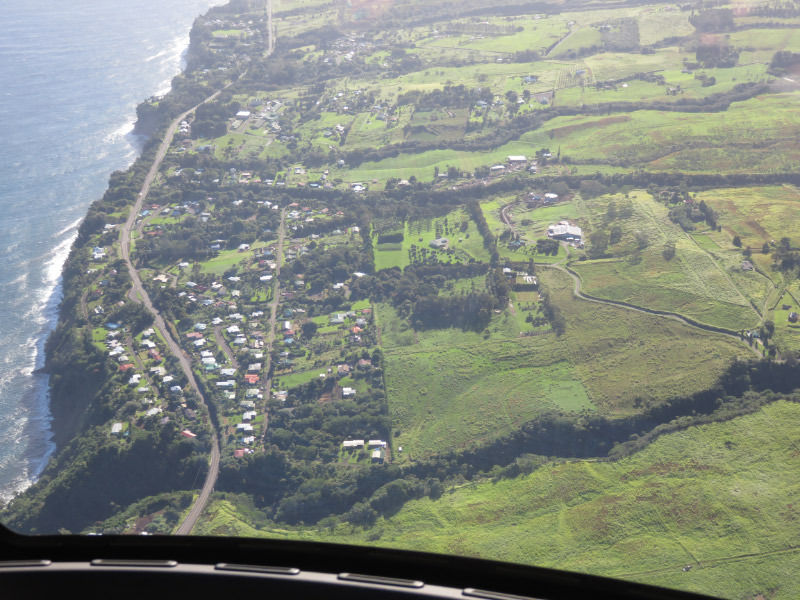
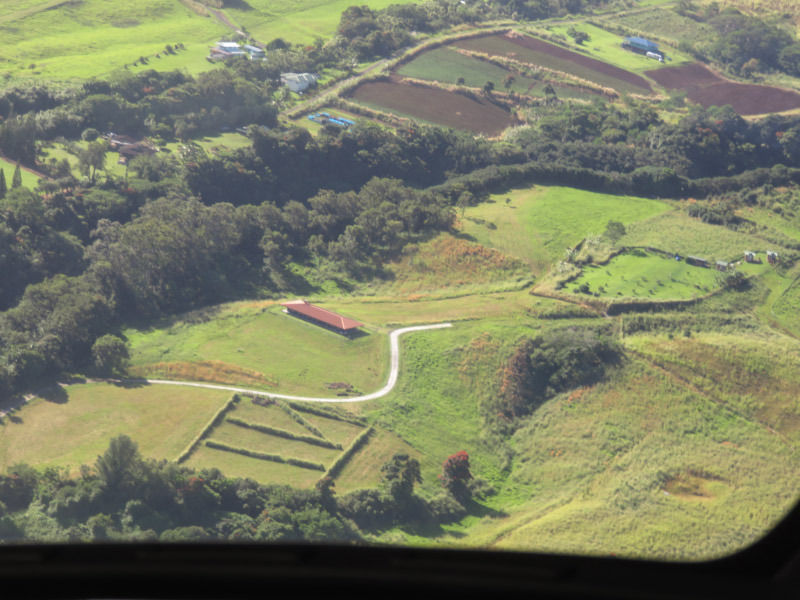
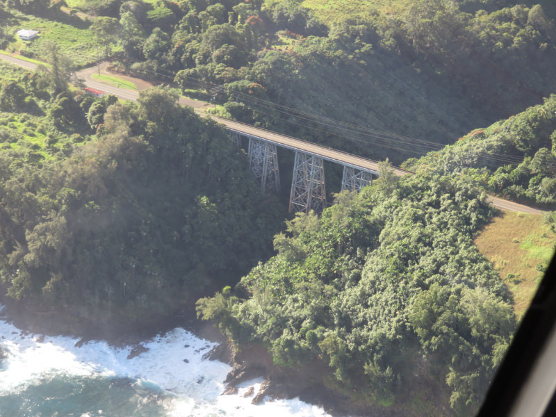
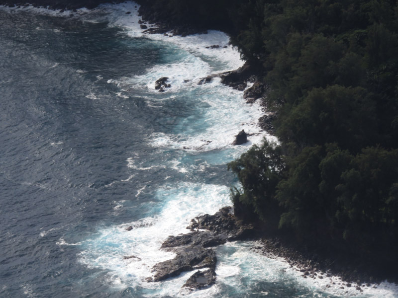
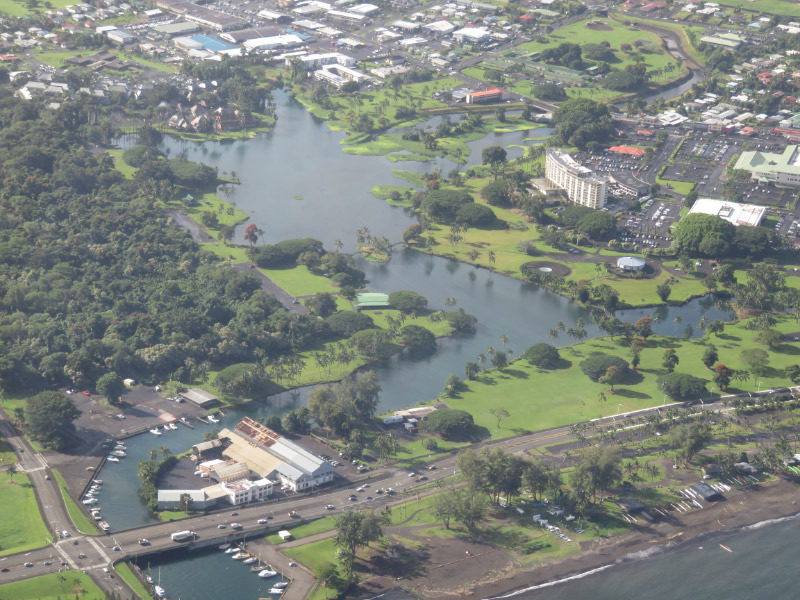
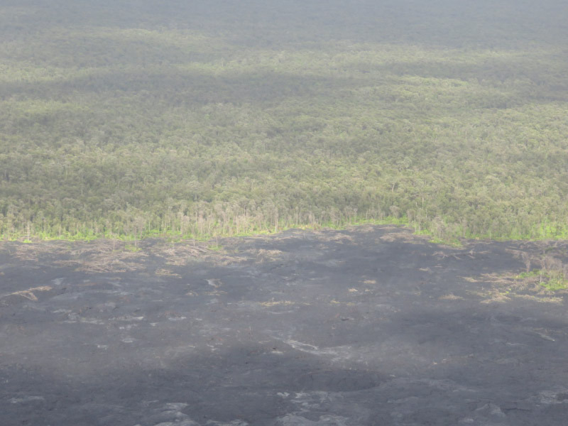
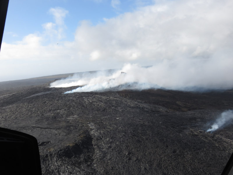
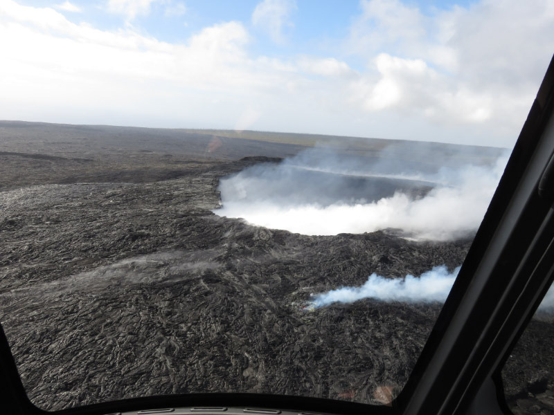
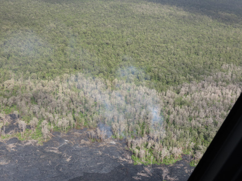
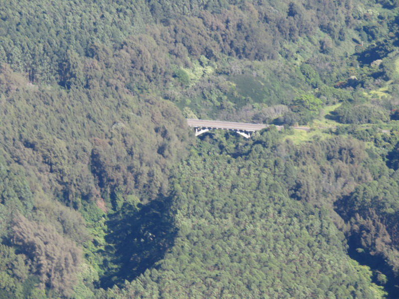
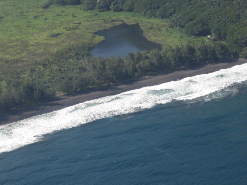
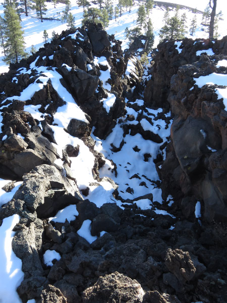
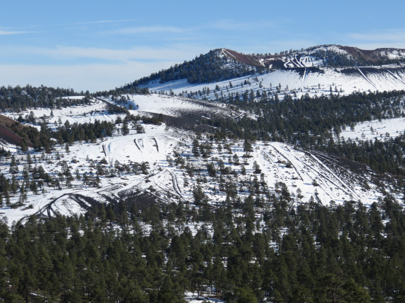
The deep valleys stand out from the air and how neatly cultivates some areas are. Pineapple and sugar cane are no long the cash crops of the island. There are cattle ranches and eucalyptus forests…Kona is known for coffee…macadamia nuts near Hilo. The eye searches for man-made structures to provide scale to the scenes - bridges across deep valleys or the buildings of Hilo. On the lava fields and the shoreline, the edge of the forest provides a notion of scale but the power of lava to change the terrain is evident everywhere. There were tiny areas where flowing lava was visible before it flowed underneath solidified lava through a lava tube.
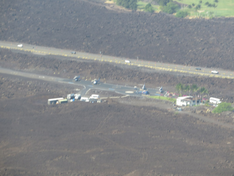
At the end of the ride – we headed back to the helicopter base….made on an old lava flow. I missed the green already!