Coursera - May 2015
/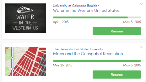 Both of the courses from April are finishing up and I’m determined to not load myself up with new courses in May because I have so many outdoor activities planned for the month.
I did enjoy both of the April courses. Maps and the Geospatial Revolution course is immediately applicable to a Tree Tour I am doing as a project for my Master Naturalist certification. It will include a map, of course.
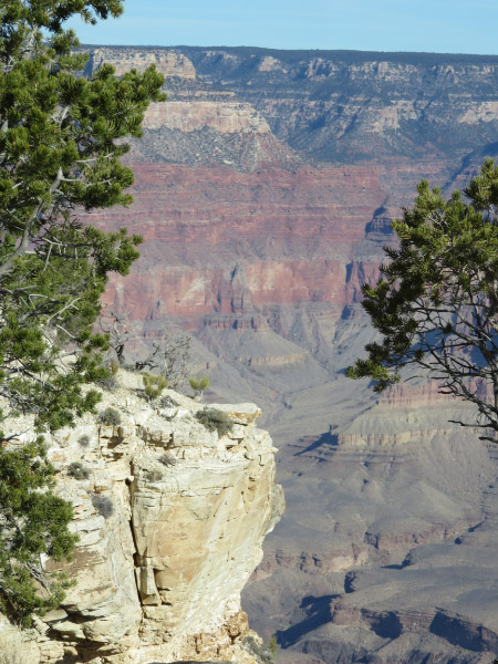 The Water in the Western US course was good on a number of levels. There was a segment on how they are adding sediment back to the water flowing into the Grand Canyon to rebuild the sandbars there (and it seems to be working)….brining back memories of the place from earlier this year. One memorable and scary factoid from the course: The Central Valley of California has subsided significantly since the 50s and 60s and is now below sea level; levees are all that separate it from San Francisco Bay….all the fresh water in that area (water supply for San Francisco) could become saline within days if an earthquake caused those levees to fail!