The Very Large Array (VLA)

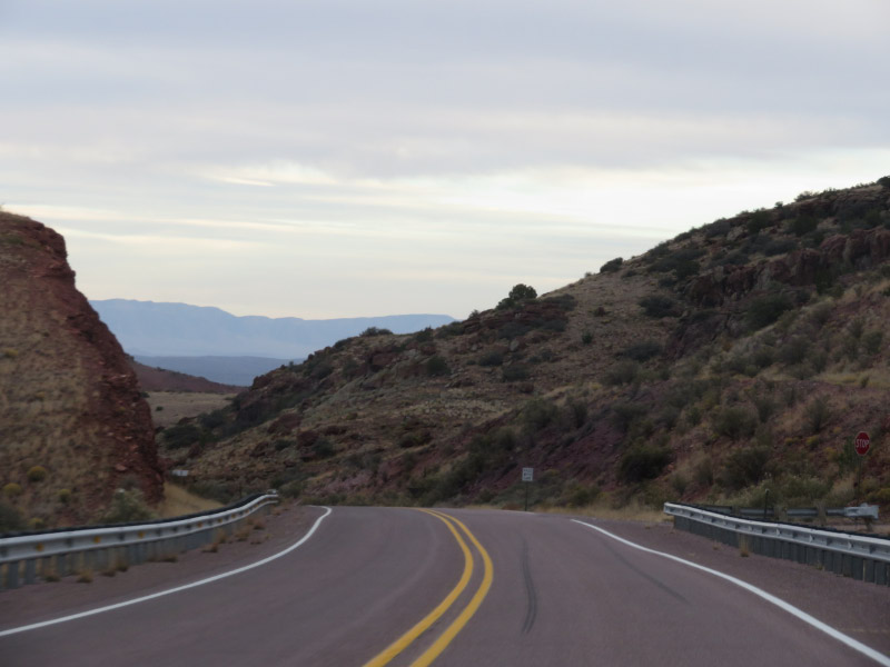
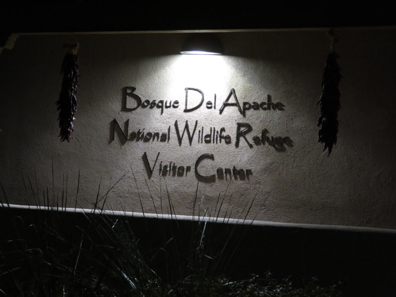
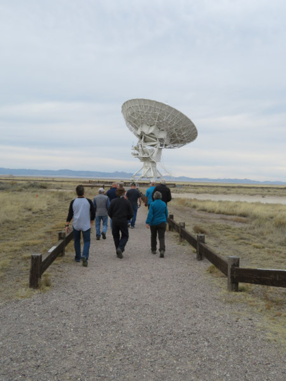
On our second afternoon in New Mexico we drove out to the Very Large Array (radio astronomy observatory). It is located about 50 miles west of Socorro, NM where our hotel was located. It took us a little over a hour to drive there from the Bosque del Apache National Wildlife Refuge where we had been in the morning (see yesterday’s post about the morning’s activities). It was a scenic drive through the Magdalena Mountains. We had opted to make the trek when we did because the forecast for the next day was for high winds.

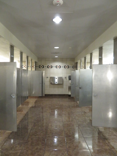
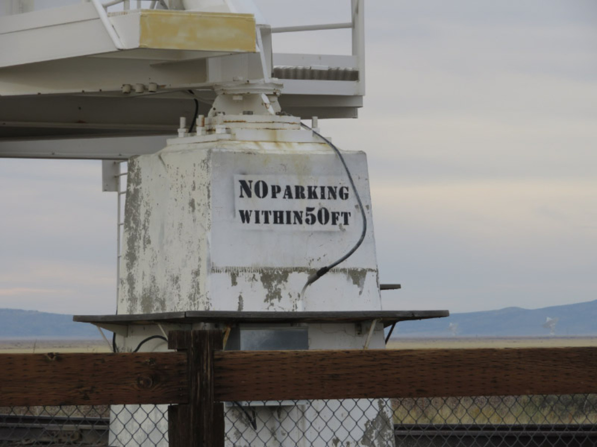
As we drove into the parking lot – there was a sign telling us to turn off any cell phones or electronic devices. The first picture I took was of a tile in the bathroom --- a stylized image of a radio telescope disk.

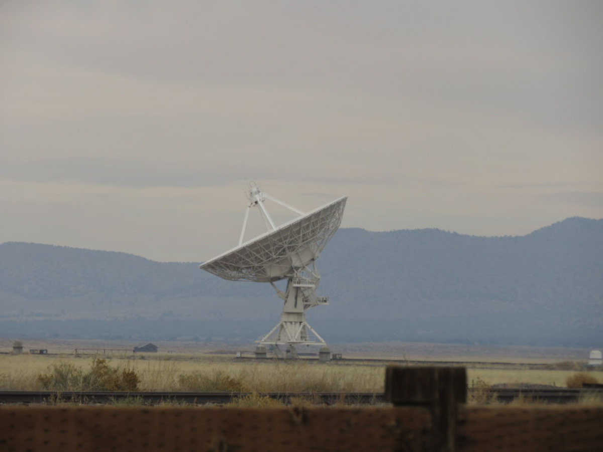
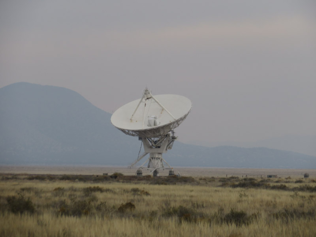
The VLA is made of 27 25-meter radio telescopes in a Y-shaped array. They radio telescopes can be moved along a Y shaped track. They were not in the tightest configuration while we were there so it was hard to get more than one at a time in a picture. During our tour, the telescopes were running a maintenance protocol and the dishes moved.

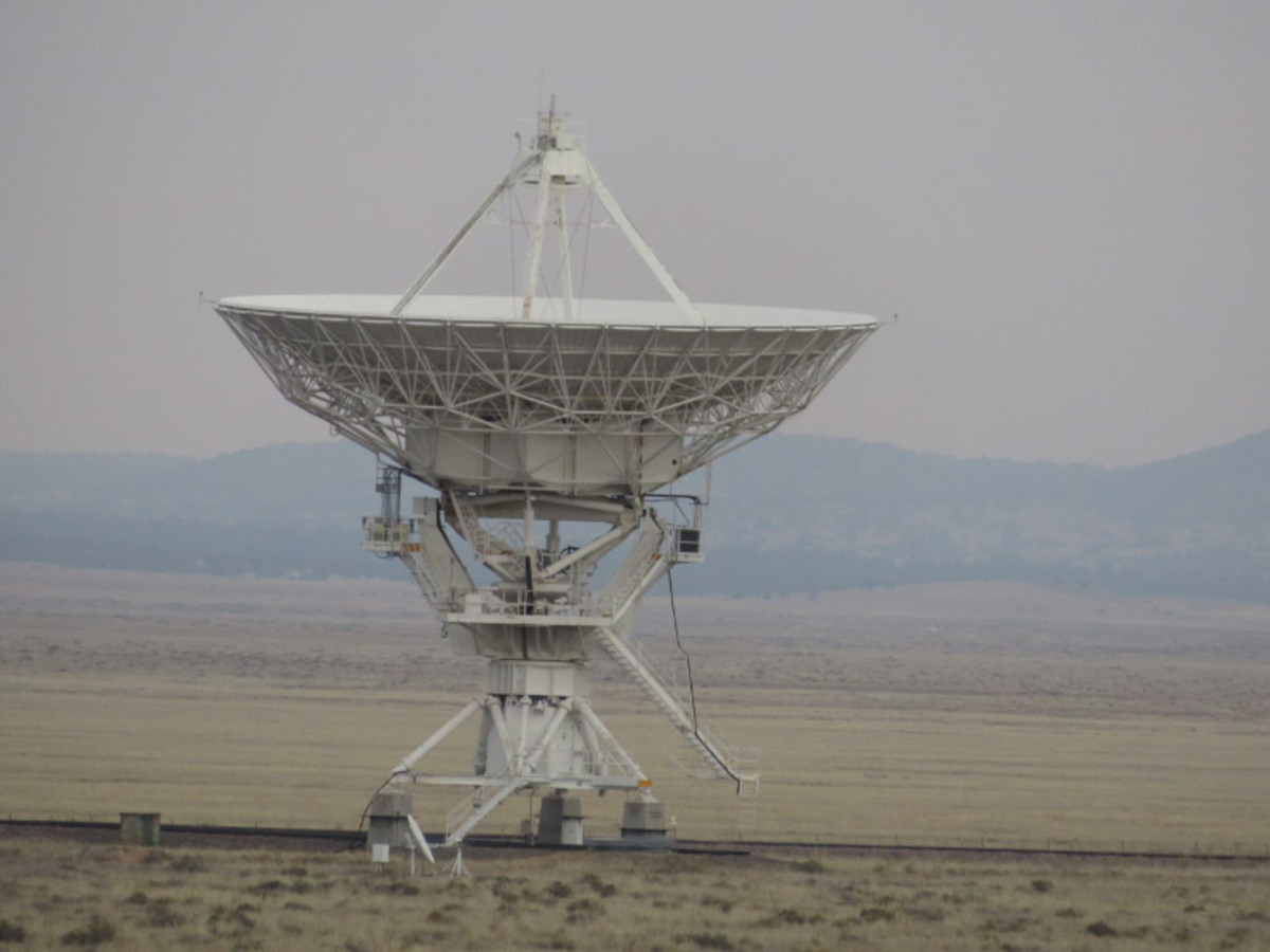
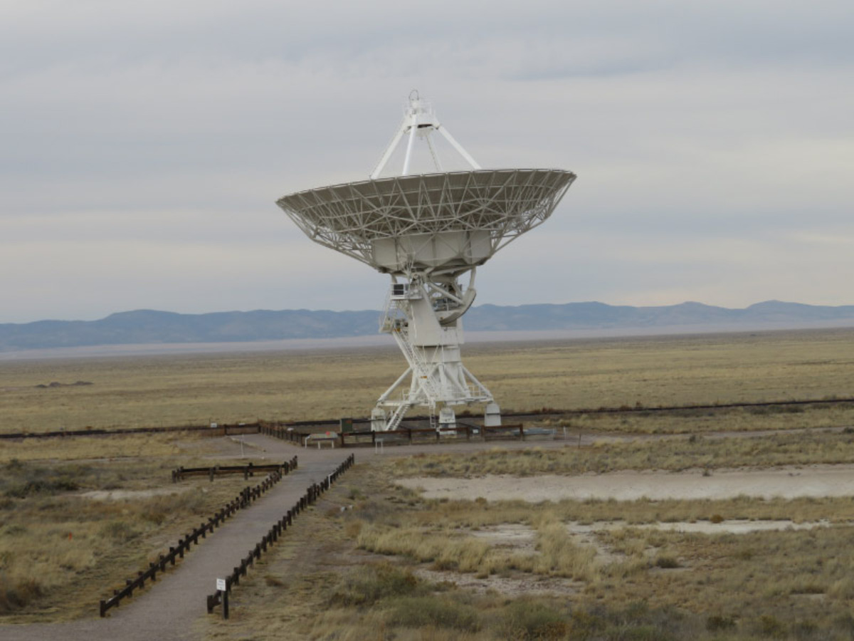
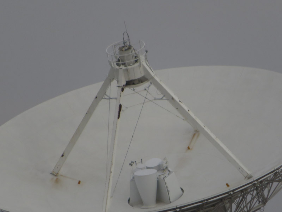
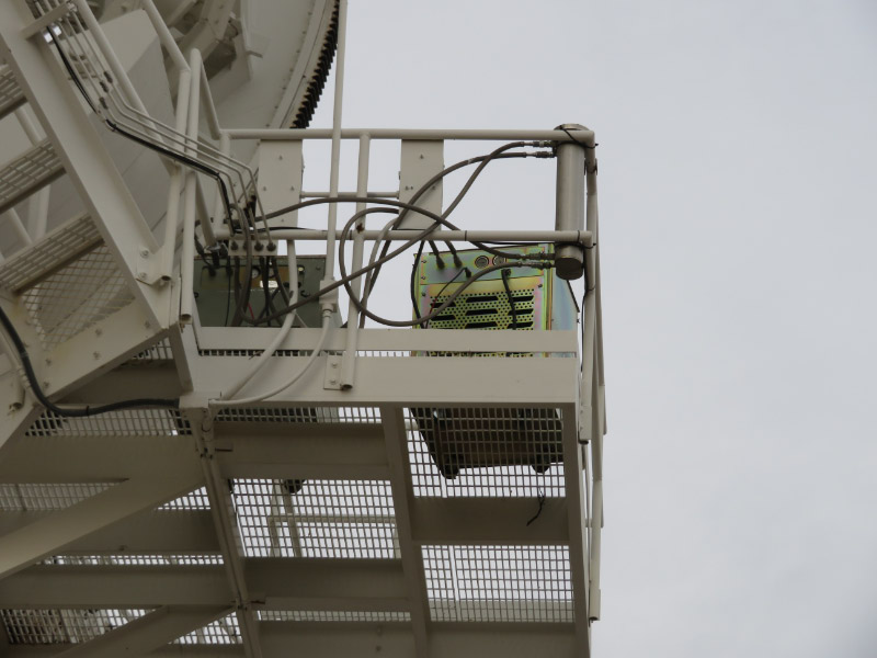
I was surprised how some of the equipment was in boxes on landing under the dish!

A few days later, my husband went back to the VLA at night and got some excellent pictures of the stars with a radio telescope in the foreground. I’ll post about that some other time.

Home Again

We returned home yesterday after a week in New Mexico at the Bosque del Apache National Wildlife Refuge’s Festival of the Cranes. So many photographs….they’ll come out in blog posts over the next few weeks. We had early mornings at the refuge to see the cranes and snow geese take off from wetlands where they roost as the sun came up…and a few programs that were in the dark at the end of the day to see owls and for my husband to make a side trip to the Very Large Array Radio Telescope for stars and radio disk photography. We stayed in Socorro, NM and flew in and out of Albuquerque.

We drove from Socorro to Albuquerque on Sunday because our flight on Monday was early. I was reminded again of how much I like the ‘highway art’ of the area with the mountains, buttes and arroyos….the blue and terracotta of the overpasses…a Kachina themed sculpture… and a rabbit pebble mosaic on an embankment.

The airport is New Mexico specific too with sculpture and Black Mesa coffee.

The theme continues with the tile in the bathrooms…and I appreciated that they seemed to be cleaner than most airport bathrooms and that the stall doors opened outward (easier when you have roll aboard luggage in tow)!

We got home by mid-afternoon to a cold and breezy Baltimore. Today is grocery day….to buy all the fixings for our Thanksgiving feast!

Staunton River Star Party – Day 1

Last week, we drove to Staunton River State Park for the fall star party – getting their by midafternoon. We selected a place on the field and set up for the week. It was breezy so setting up the tent was more challenging that we anticipated. The rain fly seemed ready to take off but was very stable by the time we got all the stakes and guy wires into the ground. The tent is made to attach to the back of the car (i.e. an extra flap on one side to ‘seal the opening’) which we used to attach to the roof rack of the car instead making a shady place between the tent and the car. Last year it was hot enough that we needed shade in the afternoon; this year, the only day we needed it was the very first day. Other days we needed the warmth of the sun! My husband got his gear set up and was pleased to discover that there was cell coverage on the field. The air mattresses and sleeping bags left plenty of room for other gear and even a chair inside the tent. I discovered that having a chair inside the tent on the cold sunny mornings was wonderful – 10-15 degrees warmer than the outside temperature.

We walked down to the Deep Space Diner to purchase a Black Hole Cup (endless tea and lemonade for me….most people were using it more for the coffee). There was a pumpkin by the door of the Diner that was appropriately carved for the event!

More about the star party tomorrow!

Packing for the Staunton River Star Party

2016 10 IMG_1147.jpg

Last week we drove down the Staunton River State Park in southern Virginia for the fall Star Party. We went last year but only stayed two days (blog post from last fall here). This time we made sure we remembered the tent! The picture I’m including with this post was while we were packing. By the time we were finished we had almost every nook and cranny in the back of the car packed with gear.

We were taking enough food so we would only ‘buy’ one meal per day at the 6-day event. My staples were salad stuff and mixed nuts; my husband had makings for sandwiches and cashews. I made zucchini bread to eat as part of our breakfast…and there were chips (a treat since a don’t normally buy them).

The telescope and associated equipment take up a fair amount of space as well. My husband ended up not taking the solar telescope to save some space for other necessities. Stay tune for more about our 2016 adventure at the Staunton River Star Party later this week.

Waggoner’s Gap

On the way home from State College, we stopped at Waggoner’s Gap – a place known for being an excellent place to watch the fall hawk migration will thousands of birds migrating overhead between mid-August and December. We’d heard about it from some birding friends and decided to see what it was like even though the viewing was not optimal with low lying clouds overhead. We decided this would just be a reconnoiter type stop and we’d come back on a day when the weather was better. It was scenic drive through central Pennsylvania countryside west of Harrisburg to the small lot for the site.

There were clear maps of the trails up to the viewing area and ridge at the beginning of the trail and trail junctions.

The trail was over rocks and was marked by bird stencils. Do you see the orange stenciled bird in the  pictures? It did make it easier to pay attention to not tripping over rocks to have the markings at your feet rather than at eye level on trees.

At the top – there is a few of the colorful forest below and the valley beyond. Next time we’ll pick a day with fewer clouds, pack everything in a backpack rather than having anything in our hands (the hike is not hard but is over rocks, better to have both hands free) and plan to stay longer. I’d like to refine my skills at identifying raptors in flight!

Mid-October Road Trip

We made a fall foliage road trip last weekend from our home between Washington DC and Baltimore MD to State College Pennsylvania. We headed out on I 70 to western Maryland and then I99 to State College. Our first rest stop was in Maryland – the South Mountain Welcome Center with a rock façade (maybe from a local source?) and the morning sun showing off a little change in the leave color.

The next rest stop was the Pennsylvania Welcome Center (still on I70). That had big sunflowers in various stages of development. It was easy to see how the seeds look as they begin to mature.

Two of the flowers I photographed had bugs in them (I discovered when I looked at them on the big screen of my monitor. This one looks like and assassin bug

And then was is a milkweed bug.

Just after we left the welcome center – we started to see more color. It wasn’t the peak of fall foliage colors…but a beginning.

There was also fog hanging in the valleys…with a clear sky above.

The drive to State College was a good start to our fall road trip. I’ll post more about it tomorrow.

Road Trip to Florida

We were in Florida last week – for the OSIRIS-REx launch and a few days of touring…more that in upcoming posts. The drive down from Maryland was done in an easy two days with a stop in Florence, South Carolina. The weather was hot so we didn’t stop for any of our usually outdoor activities. We retraced our steps coming back. The first day was very hot but the navigation system routed us to the Beltway around Jacksonville, Florida rather than saying on I-95 and we crossed the Dames Point Bridge. I managed to get my camera out and take some pictures of it.

It’s quite a sight.

I also liked the colorful mass of shipping containers just past the bridge.

We stayed in the same hotel in Florence, South Carolina on that night and I managed to get a sunrise photograph from the window. It was the only sunrise picture from this road trip!

The weather has cooled down a bit and the humidity was not so high for the last day on the road. We lingered a little at one of the rest stops – still in the Carolinas – and I took some pictures of a late blooming day lily

And some grasses swaying in the breeze catching the morning sun.

There was a dragonfly lying on the sidewalk – dead but still relatively intact. The plates of color on the abdomen reminded me of a Mayan turquoise mask.

The thorax was yellow green.

1981 Road Trip to New Mexico

My Monday posts are trips back in my own history…. brought into the present via pictures that I have been scanning. This week I’m remembering a road trip to New Mexico in September of 1989. We spent considerable time at Bandelier National Monument. We walked around the main ruin area,

Did some hiking,

Climbed into some reconstructed ruins,

Saw the carvings of mountain lions, and

Tried to image how it must have been when the canyon was populated in ancient times.

My husband was taking flower pictures then too…and managed some stunning ones at Bandelier.

I remember the hike down to the Rio Grande vividly. There is an elevation change between the visitor center and the river.

We followed the water for part of the hike and my husband too pictures of a waterfall from many angles.


And finally made it to the river….very muddy and much reduced by up river irrigation.

We drove over the Rio Grande Gorge Bridge and my husband took a dizzying picture from when we walked out onto the bridge. I remember feeling the bridge vibrate when cars or trucks went by…and not wanting to stay out on the walkway for very long.

We also went to Pecos National Historical Park on that road trip…but it was overshadowed by Bandelier.

Thinking back on this and other times I’ve vacationed in New Mexico – I have enjoyed them all…and am ready to go again.

1973 Day Trip to Platt National Park

Ever heard of Platt National Park? It was around from 1906-1976 and is now part of the Chickasaw National Recreation Area. My husband and I took a day trip to the place in November of 1973 not realizing that the area was destined to lose it designation in just a few years. It was only a little over 2 hours each way from Dallas following I35 into Oklahoma and a popular park at the time we went. The closer we got, the more interesting the road cuts along the highway became.

In the park itself, the road dipped down into streams – that overflowed the road when it rained,

Water flowed over ledges,

Rocky hillsides had trees growing in every crevice,

Water thick with filamentous algae fed into the larger waterways,

Rocky cliffs supported trees at the top,

And most of the trees had already lost their leaves by November.

We hiked, had a picnic lunch and hiked some more. My husband experimented trying to capture water ripples and sprays in photographs. It was learning in slow motion compared to photography today since the film had to be developed before the results were known. Now we just play back the images on the camera….and learn immediately.

Colorado Vacations in the Early 1980s

Before we moved away from Texas in 1983, we made two summer road trips to Colorado. We loaded up the car and headed to the mountains where it was bound to be cooler that Texas! We were always thrilled to get into Colorado and away from the very flat – often boring – land between Dallas and Colorado.

The first trip was in August of 1980 and everything in Colorado was new to both of us.

We spent some time enjoying the sand dunes (Great Sand Dunes National Park and Preserve) that collect at the edge of the Rockies before we headed along the southern part of the state camping at National Forest campsites along the way. There was a beaver lodge on a pond near one of the campsites and we saw beavers actively working on it and slapping their tails on the water’s surface.

In July 1982, we made a second road trip to Colorado and focused on Rocky Mountain National Park – further to the north than we had been before. We camped again but in the National Park at a more developed campground than the campgrounds we had stayed in before.

It was thrilling to see the snow on the peaks and the lush growth in the valleys.

Above the tree line – the tundra was a new experience for us and so was the occasional wildlife sightings.

After the national park, we camped again in the National Forest and roaming backroads. Just as we do now – wildflowers,

Interesting clouds,

And birds were topics we chose for photography.

3 Free eBooks – July 2016

So many good things available for ‘free’ in online libraries. Here are my favorites for June.

2016 07 ebook1.jpg

Mann, Kathleen. Design from Peasant Art. New York: Macmillan. 1939. Available from Hathi Trust here. I get lots of ideas that turn into Zentangle patterns from books like this. I’ve clipped one page that had depictions of pinks (the flower) in different folk art. This is not the only folk art books I’ve enjoyed in July. It seems that there were quite a few book published on the topic in the early half of the 1900s and many of them are beings scanned and made available when their copyright expires.

Pole-Evans, I.B. The Flowering Plants of South Africa.  Twenty plus volumes available from the Internet Archive here. This is a magazine that has been published since 1921; at first it was published annually and it is now published every other year. The older volumes were made available on the Internet Archive in late June. I’ve enjoyed the first 10 so far. The depictions of flowering plants are outstanding.

Murphy, Thomas D. On sunset highways; a book of motor rambles in California. Boston: The Page Company. 1915. Available from Hathi Trust here. I enjoyed the pictures of what California was like in the early 1900s. Unfortunately, many of the color pictures have moiré patterns which I wish the institution scanning would have noticed and re-scanned. The original must be a beautiful book.

Bandelier National Monument in 1980

The first time I visited Bandelier National Monument was in the spring of 1971; I didn’t take any pictures on that trip but remembered the place and wanted to return. An opportunity to visit again didn’t come until August of 1980; I recently scanned the images my husband took and remembered that visit. We had driven from our home in Plano TX. It was quite a road trip through New Mexico – camping along the way.

There is a large D shaped ruin on the canyon floor and eroded rocks everywhere.

There are ruins along the side of the canon that used eroded spaces for storage. Some of plastering and black markings from fires remains from the long ago uses of the place.

Post holes into the rock show that the ruins once had multiple floors along the canyon wall.

Here is a close up of a row of holes for a floor/ceiling support and some pecked images in the rock.

Some of the designs made in plaster had been protected from the elements.

Some areas were left as they were but the black at the top of the cavities show that they once had fires. Perhaps there are ruins under the rubble at the base of the cliff.

These rooms are probably restored although some of the posts look battered and may be original. There has been a lot of study of the tree rings in ruins like this and a sequence has been established to date construction via tree ring analysis.

The canyon was a great place to hike. I remember that we hiked all the way down to the Rio Grande. When I looked at the web site for the monument now I saw that they had experienced flood damage to that trail and it is closed past the upper falls. Unfortunately -  I haven’t found the slides from that part of the visit – yet.

Chincoteague Sunset…and Sunrise

Chincoteague was the only refuge on our 4 refuge trek that the weather was good for late and early day photography. We chose a place with water and pines for sunset and got there when the color was just starting in the sky and the reflections in the water were very clear.

I adjusted my camera to get the color and let all the vegetation be in silhouette just as the sun was at the tree tops.

And then it was in the trees.

Two Great Blue Herons flew to a snag behind us and waited there while the light faded still more.

--

The next morning we were up an entering the refuge when it opened at 6 AM (this was before daily light savings time and the refuge was on winter hours). The sky was already rosy by the time we got to our spot – a little further along the road that we had used for sunset.

There were birds already busy in the water that took on the color of the sky.

A contrail was reflected in the water closer to us.

The light became more yellow and the geese continued their morning grooming and breakfast.

Then the color turned to orange. The sun was above the horizon.

Prime Hook National Wildlife Refuge

The third refuge on our trek was Prime Hook National Wildlife Refuge in Delaware. It was a gray day --- but at least the rain happened while we were driving to the refuge than while we were there. One of our nav systems took us to a road through ponds but not to the visitor’s center. It was part of the refuge and we saw some Great Blue Herons

And Yellow Legs – very active in catching fish in the shallows.

Fortunately, we had another nav system that did chart a path to the visitor center and we did some hiking. Again – there was construction on one of the trails near the visitor and it was noisy enough that most of the wildlife has found someplace else to be for the day. On our hike I found a number of shelf-fungus. None of them were very large.

But one was a brilliant green color.

I tried to photograph them several from the top

And bottom.

The biggest one was growing on a stump near a boardwalk

And the gills underneath were more colorful than the top.

We headed out of the refuge and on toward Chincoteague….the topic of tomorrow’s post.

Eastern Shore Wildlife Refuges Road Trip

Last weekend we made a 3-day trip to 4 National Wildlife Refuges on the Eastern Shore of Maryland and Virginia.

I’ll be posting about each one of them in the days ahead but today is about the driving part of the trip….the beginning and ending of the trip. WIth my husband driving - I am free to take pictures through the windshield.

We started out early enough that there was still some color in the cloudy sky and we neared the entrance to the interstate that would be the beginning of the drive – for a very short distance before we were on good roads, but not interstates.

There is something about a treed cloverleaf that is appealing to me – although it can be disorienting if you are not familiar with the area since the trees block the broader view.

Maryland’s Bay Bridge was along the route a little later but the clouds made the day so dim that it was mostly a silhouette.

Skipping ahead to the journey home – we left from Chincoteague and got stopped in traffic on the road near the perimeter fence for NASA’s Wallops Flight Facility. A pickup had gone over the guardrail into a deep ravine and a crane had been brought in to get it in – stopping traffic on the two lane road for about 15 minutes. I used the time to photograph a blue bird on the fence. Note how centered the bird it between the barbs!

Continuing on ---- Maryland’s Bay Bridge from the other direction as we got closer to home.

Next time we'll have to make a stop at Sandy Point State Park.