Nature and History Hiking
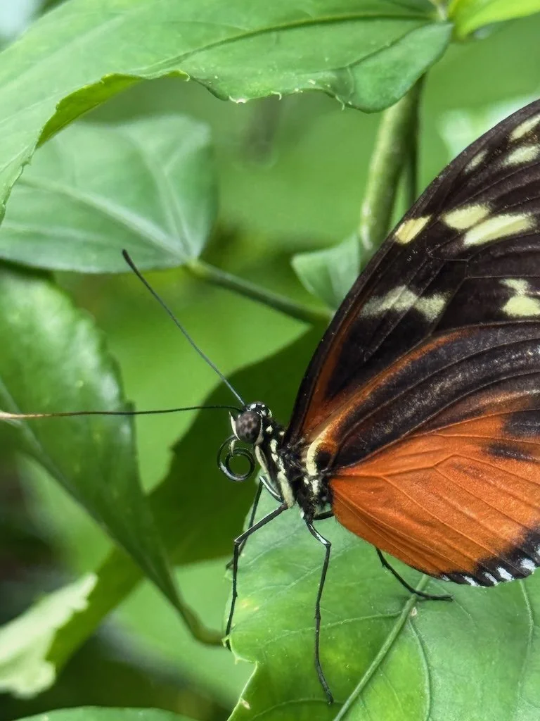
There are lots of ‘stories’ that we create for ourselves while hiking. Hiking is active and invites narrative. The theme can be about interaction with an animal or plants or a hiking partner. There could be an activity done with hiking that becomes part of the story: photography, bird watching, climbing, camping, etc. Recently - I’ve been creating stories using the history theme.

The longest timeframe history is in rocks - in layers. It is easy for this narrative to emerge when hiking the Grand Canyon…..the feeling of the vast amounts of time for water to wear away the rock is part of the place.

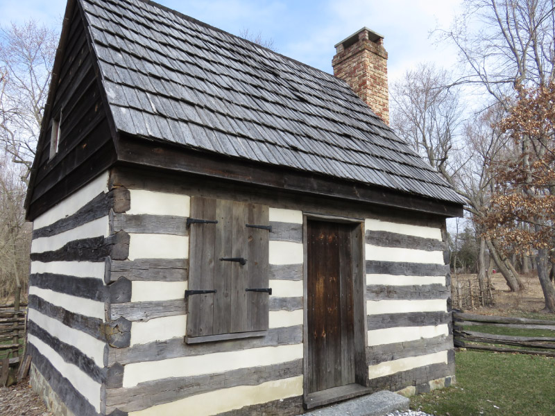
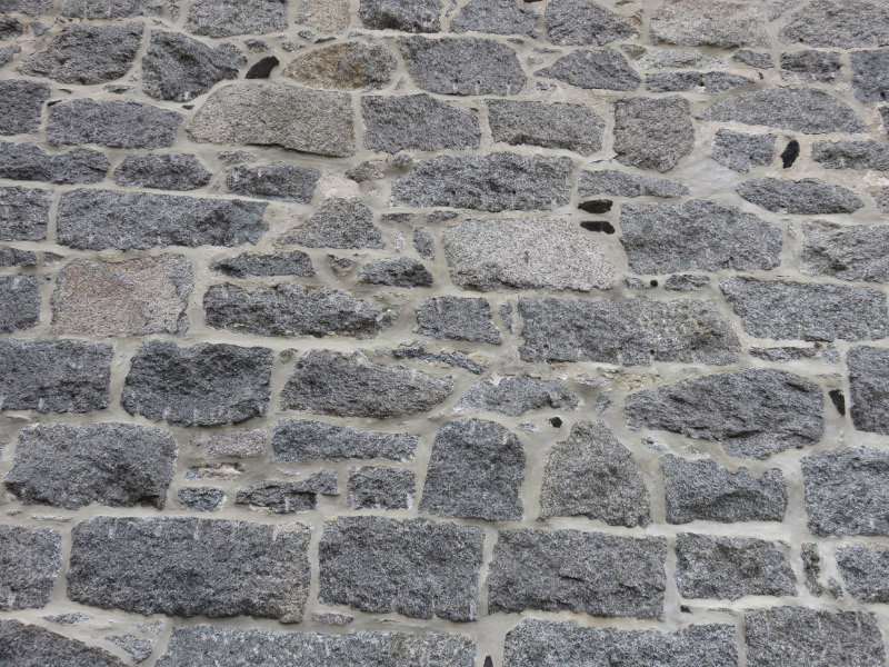
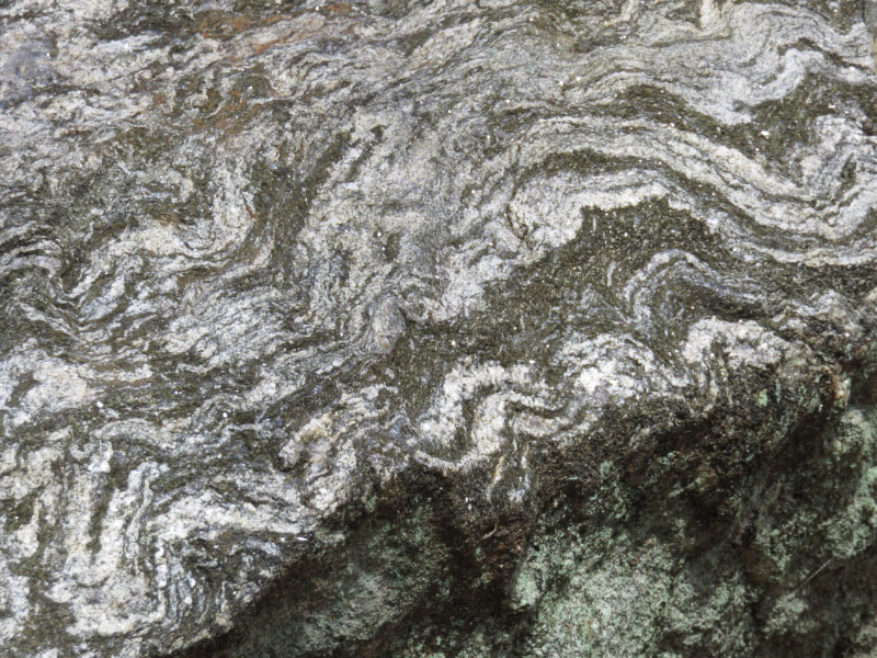
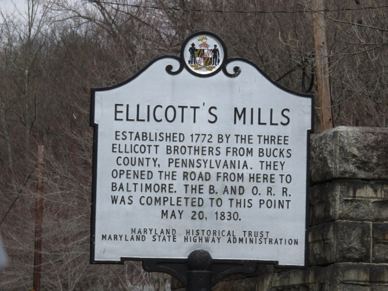
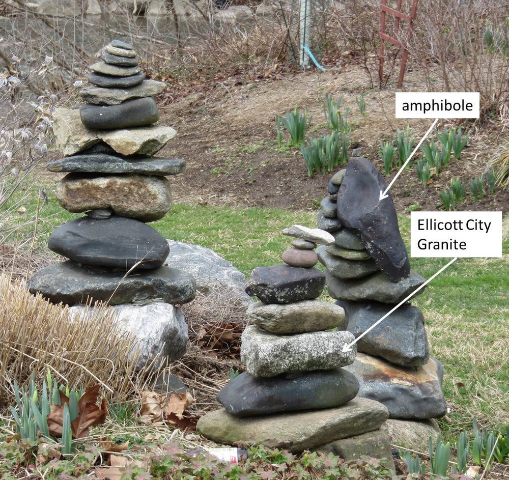
Sometimes rocks tell history with a shorter timeframe. For example, rocks along trails in areas that are near developments show up in buildings; the Master Naturalist hike along the Trolley Trail early this year was an example for me of rocks linking to history of the past few hundred years. A building not far from the trail was built of Ellicott City Granite with bits of amphibole for contrast.

Human impacts. Sometimes the changes caused by humans are evident along a hiking trail. Trash is always unwelcome and we may not hike that trail again - or help in a clean up project. It is a sad story. In fact - lots of the impacts are sad: eroded stream banks from changes in runoff patterns from housing developments and invasive plants. Many of the impacts happen quickly.

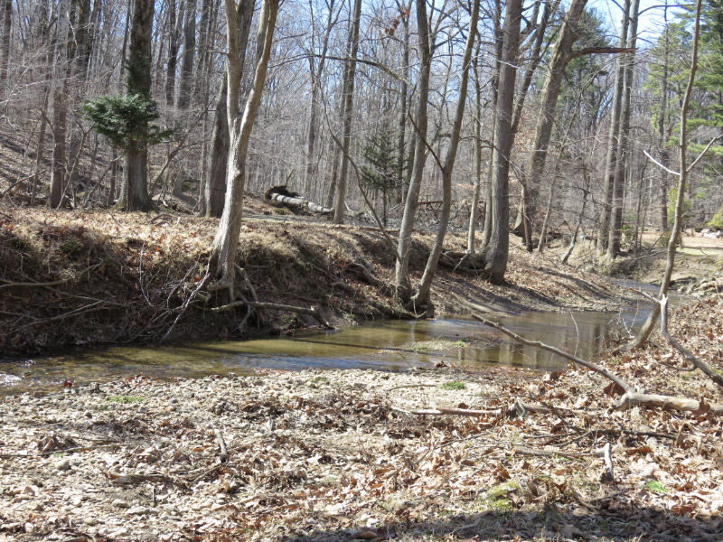
Other examples of human impacts take a longer period. The view of the forests on the east coast has changed dramatically now that the American Chestnuts are gone (almost all of them succumbed to the Chestnut Blight in the 1900s); they were the dominate (most numerous) tree in the forest. That history is harder to realize because it is about something missing. As I look into the forest behind my house - the most numerous trees are the tulip poplars. They are tall - but they don’t produce the large and reliable crop of nuts that the chestnuts did (for animals and people).

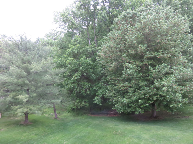
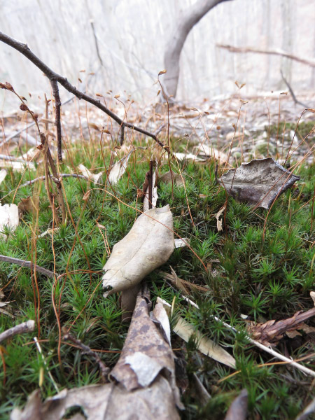
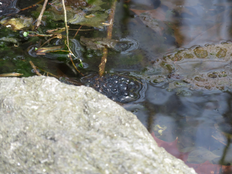
What about organisms that are not usually noticed? If you take a walk shortly after a rain - there might be earthworms on the forest path. Did you know that they are not ‘native’ to North America but brought in ballast from Europe during colonization? How did they change the forest? The leaf mulch was not cycled as quickly by the native organisms which means that the forest floor in precolonial times was cooler and wetter than it is now. How different did those forests look?

Master Naturalist Field Trip - Part 1

Last Saturday was the day-long field trip for our Master Naturalist class. It was very cold but everyone bundled up and headed out from the Benjamin Banneker Historical Park and Museum. We saw a replica of the type of cabin that would have been on the property when Banneker lived there and marveled that the property was purchased with 7,000 pounds of tobacco. Dried tobacco is very light so we assumed it must have still been green…but that is still a lot of tobacco.

One of the first stops was the Banneky House built in the mid-1800s - long after Benjamin Banneker’s time. Our focus was the rocks on its exterior! This wall showcases Ellicott City Granite with the small, very dark pieces being amphibole.

We started to walk down the pathway of the park to the Trolley Trail that would take us into Ellicott City. The trolley stopped in 1959 and the rail to trail occurred in the 1990s. The forest was not an old forest and there were some houses (some very new ones in the mix) built fairly close to the water. The weather has been too cold for wildflowers to be blooming but there were other things of interest. I always stop for shelf fungi and these with gray/white/rust rings were nestled into some green lichen….the color and texture was eye catching.

There was water trickling everywhere…and the most seemed very green against the backdrop of rocks and brown leaves left over from last season.

The bed of moss has fruiting bodies! Note that the height of the whole plant is only about 2-3 inches.

We saw frogs eggs - but the frogs were silent in the cold (and probably burrowed somewhere to keep warm).

There were swirls in some of the rocks beside the trail. Thinking about the metamorphosis of rock under pressure requires a conscious effort to understand a timescale that is beyond our normal comprehension.

We get down to Ellicott City in time for lunch. The decision to eat at a restaurant (and warm up) rather than picnic was welcomed by all.

I noticed the cairns in the little park across from the restaurant. At least two types of rocks were easy to spot!

2015 03 img_7176 clip.jpg

The post that marks the water level above the normal river height during various floods is at the river end of Main Street in Ellicott City. The one in 1868 is at the very top of the bridge railing. That would have flooded two floors of the buildings! At that time the area would have been heavily farmed - most of the forests would have been fields so the water would have run off quickly from a storm. The 1972 mark is from Hurricane Agnes. Some forest had grown back but there was beginning to be a lot of housing development. More has been built since then. What would happen if a storm like Hurricane Agnes happened again today? A lot of impervious pavement has been added to the watershed. Are there enough forested buffers and rain gardens to slow down the flow of stormwater during a big storm?

After lunch, our group carpooled to the Avalon area of Patapsco Valley State Park. I’ll post about that part of the field trip later this week.