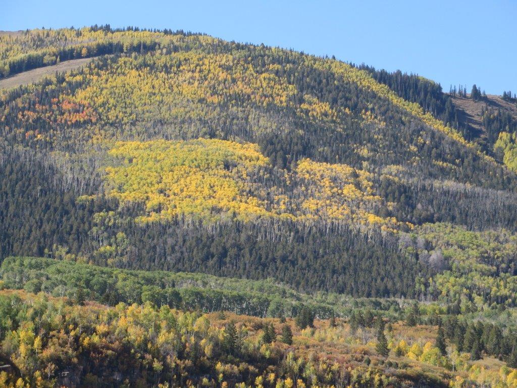
Dead Horse Point State Park, Utah - Oct. 2013
/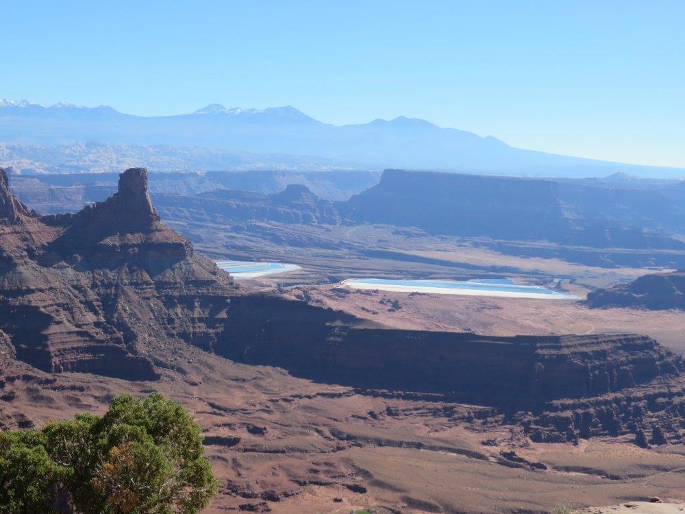
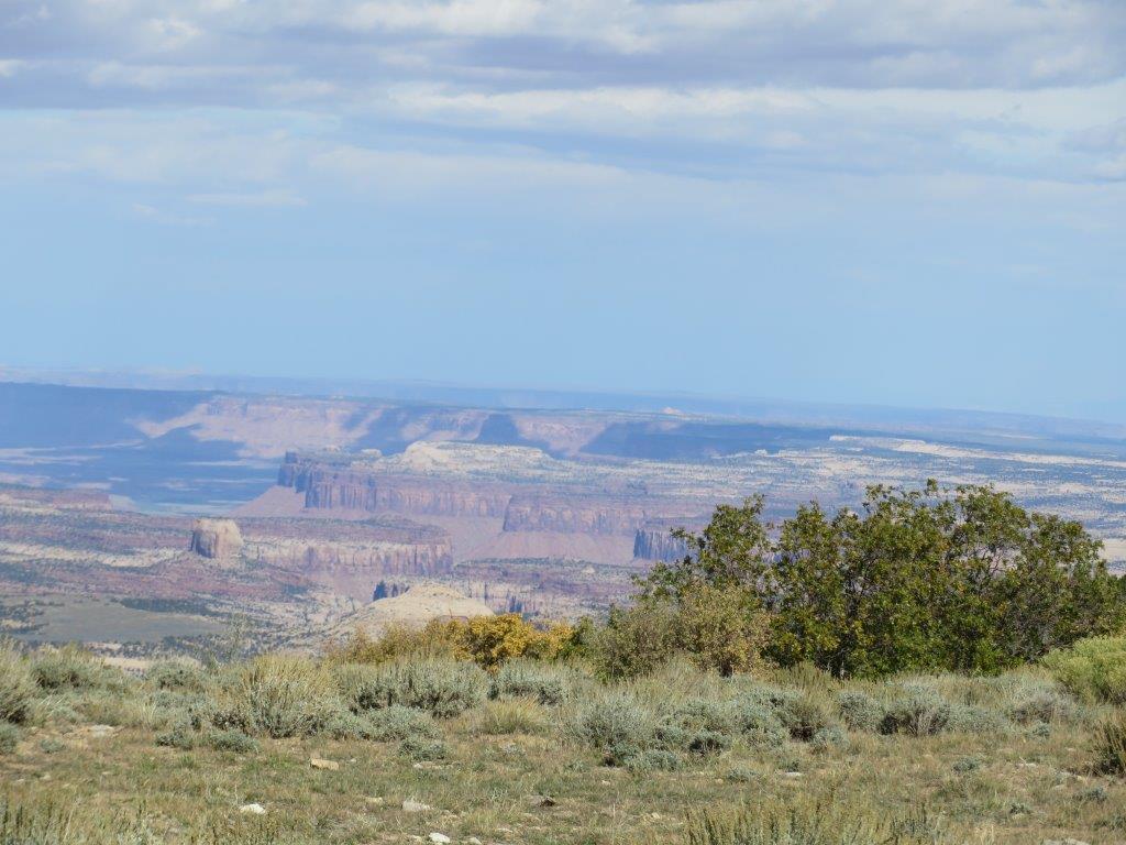
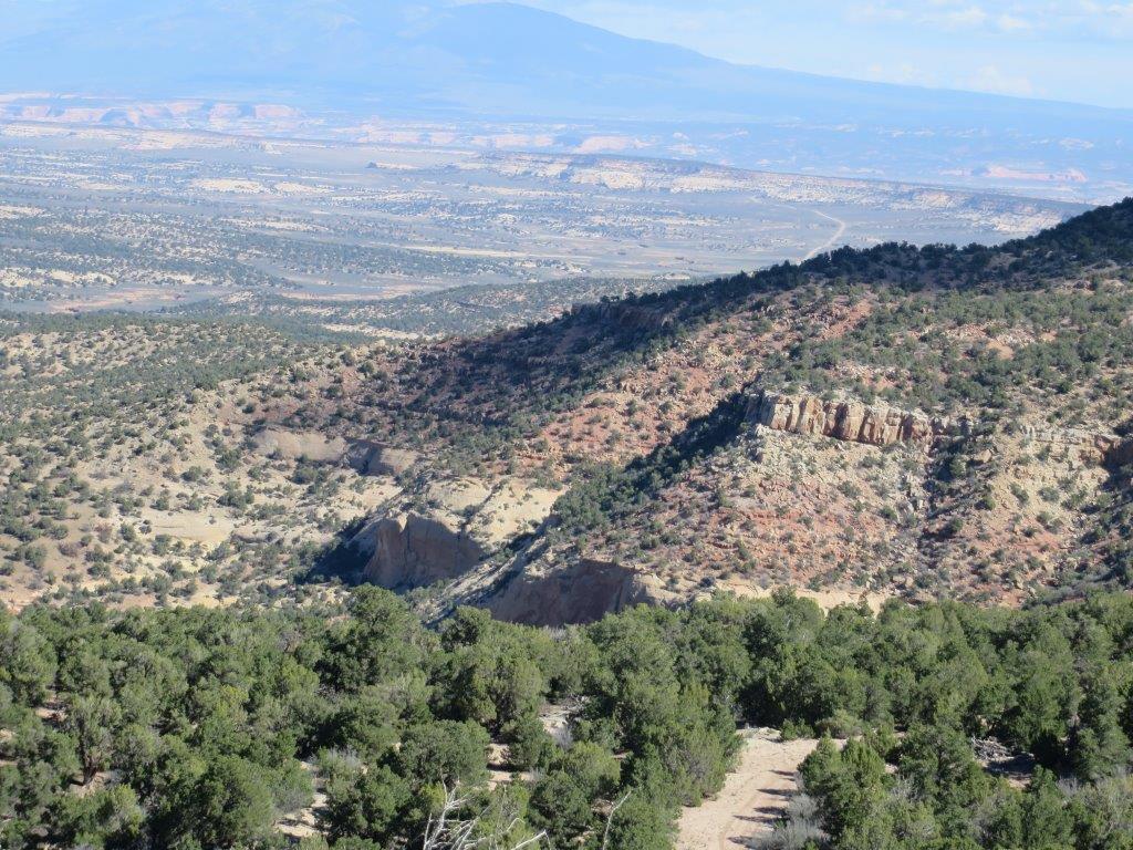
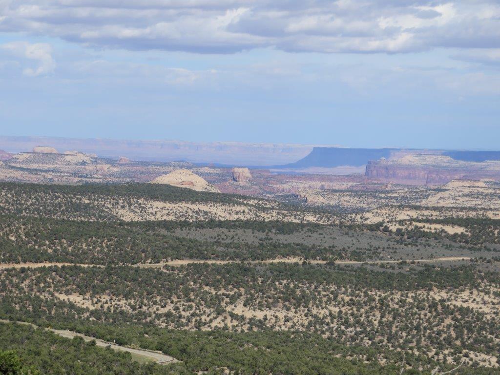
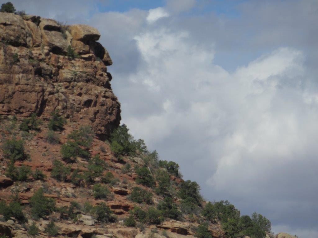
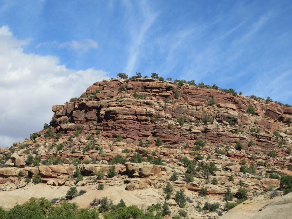
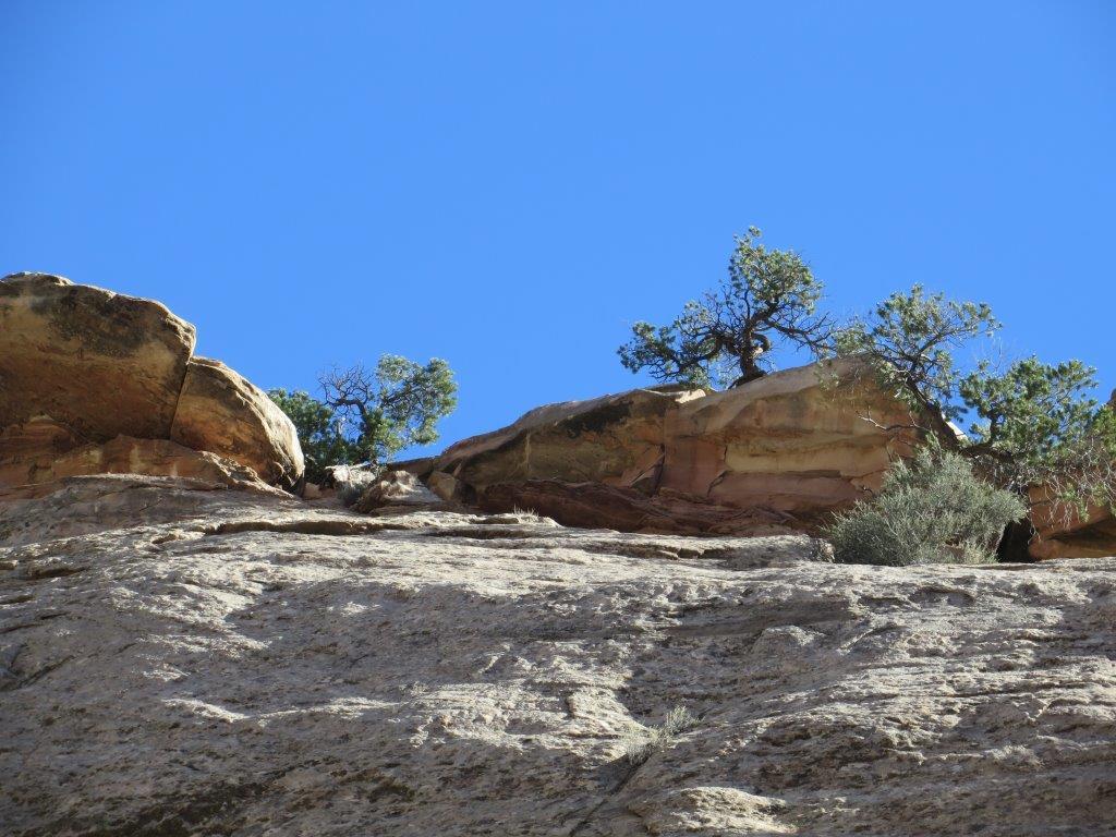
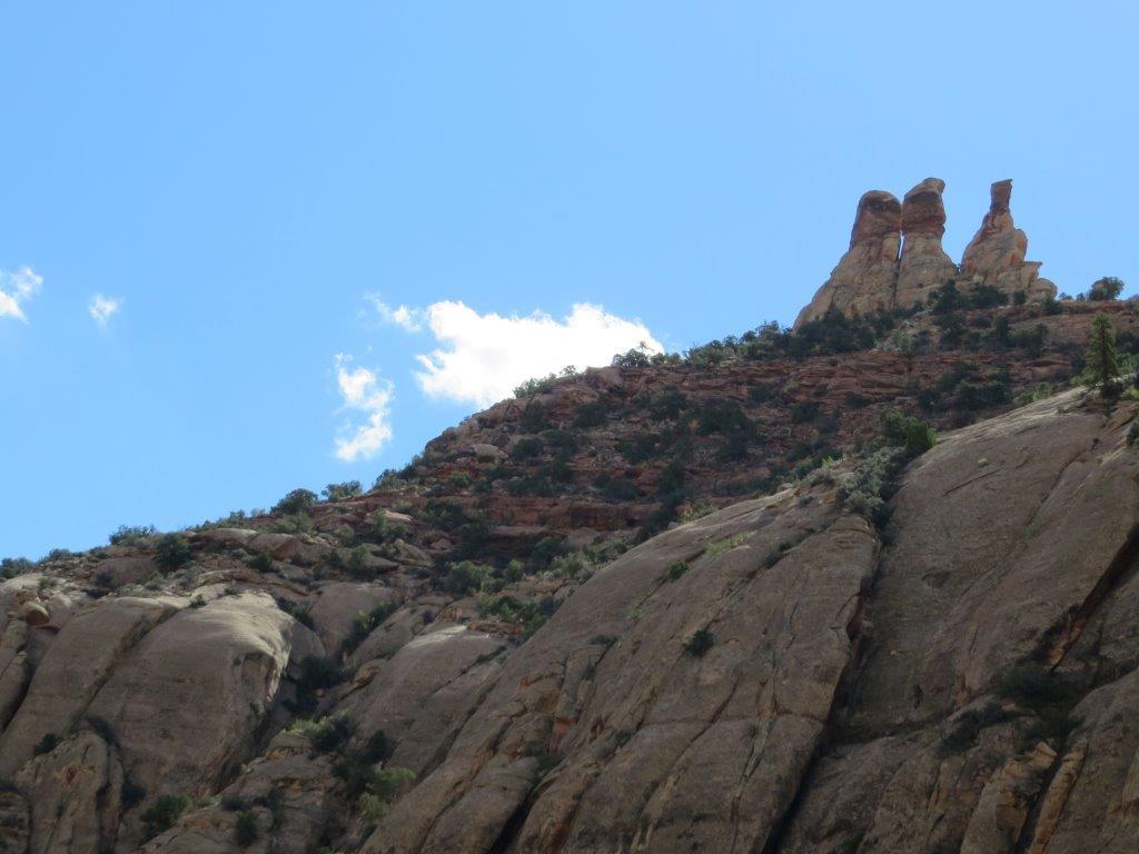
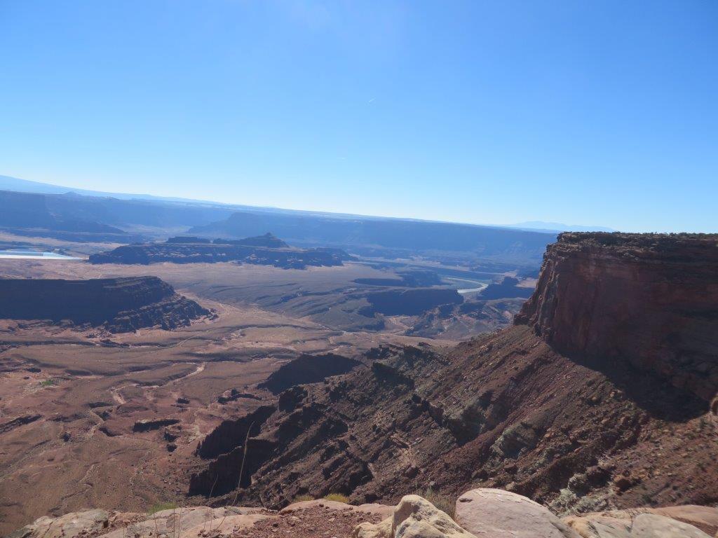
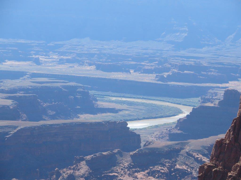
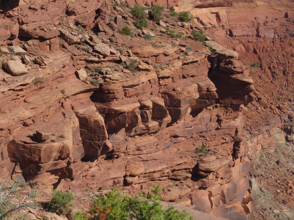
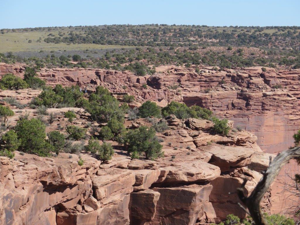
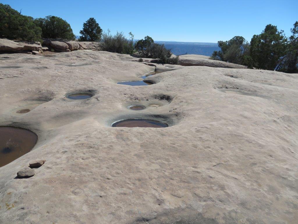
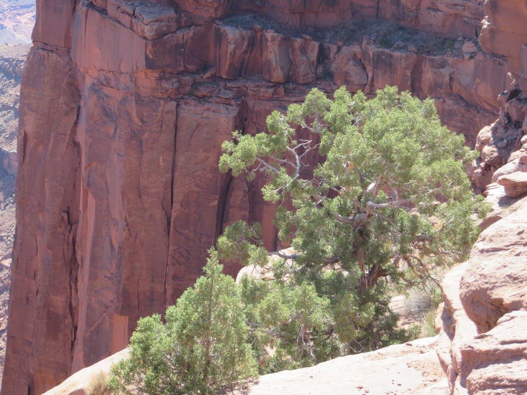
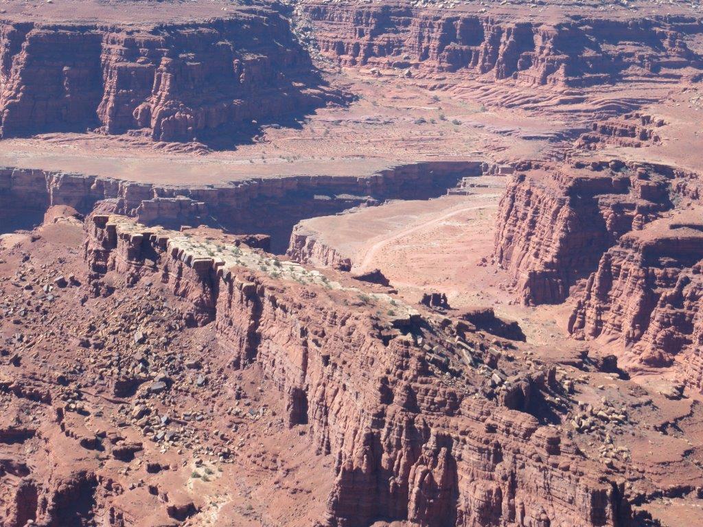
Dead Horse Point State Park is south west of Moab UT. The park is on a mesa that looks down into canyons and a gooseneck of the Colorado River. The potash evaporation ponds in the canyon are a vivid blue.

There are some easy hikes that cross cairn marked areas smoothed rock with potholes of water; it had rained recently enough for tadpoles to be swimming in the deepest ones.

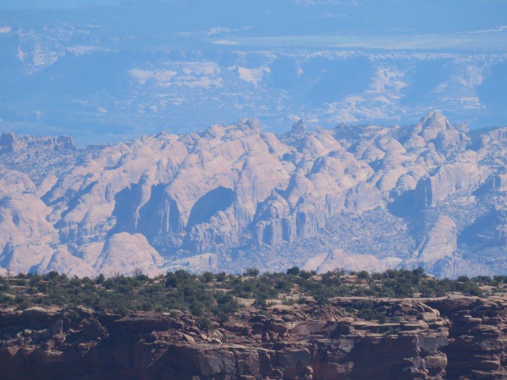
The mountains in the distance held snow.

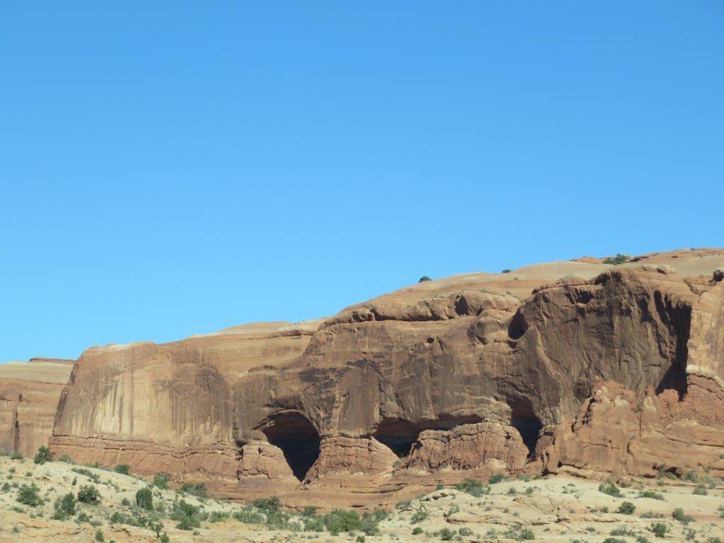
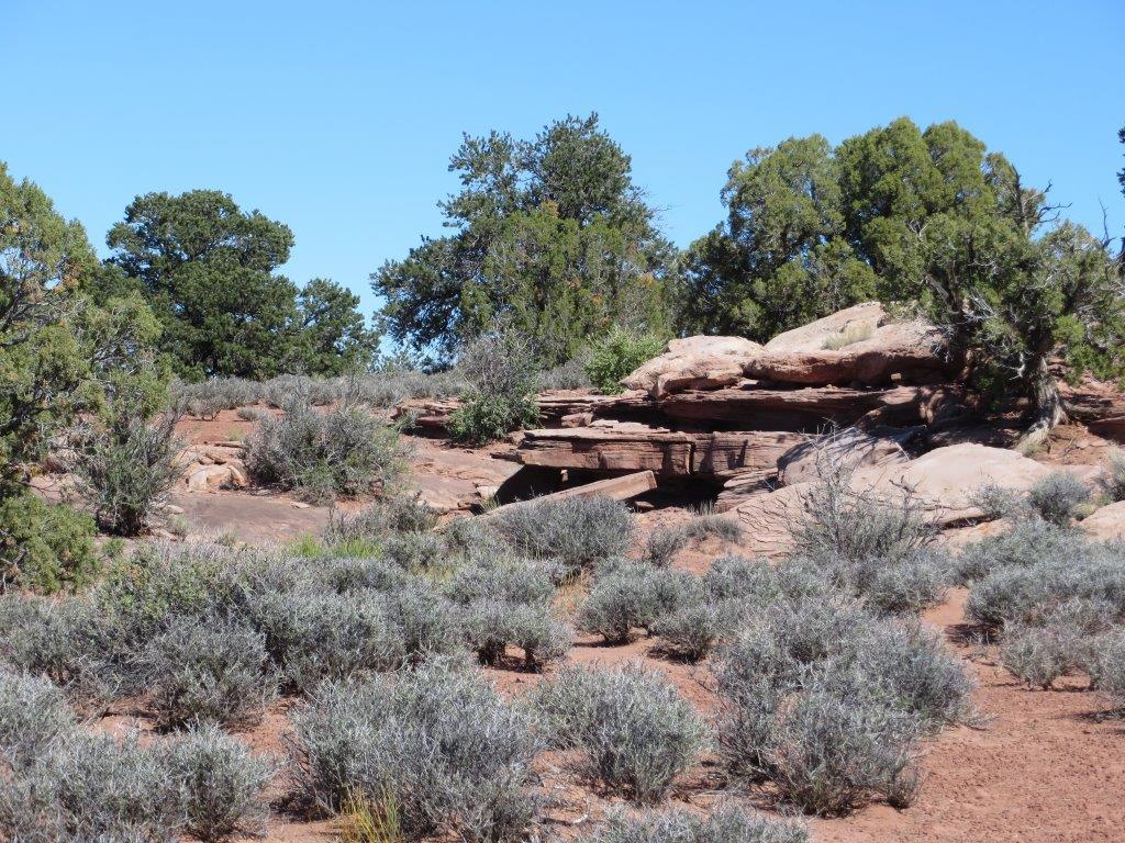
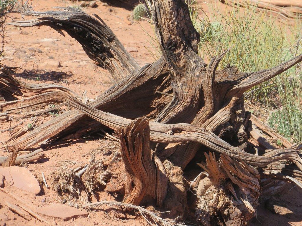
And everywhere the layers of exposed rock marked Earth’s time just as tree rings mark the much shorter duration of the lives of plants.
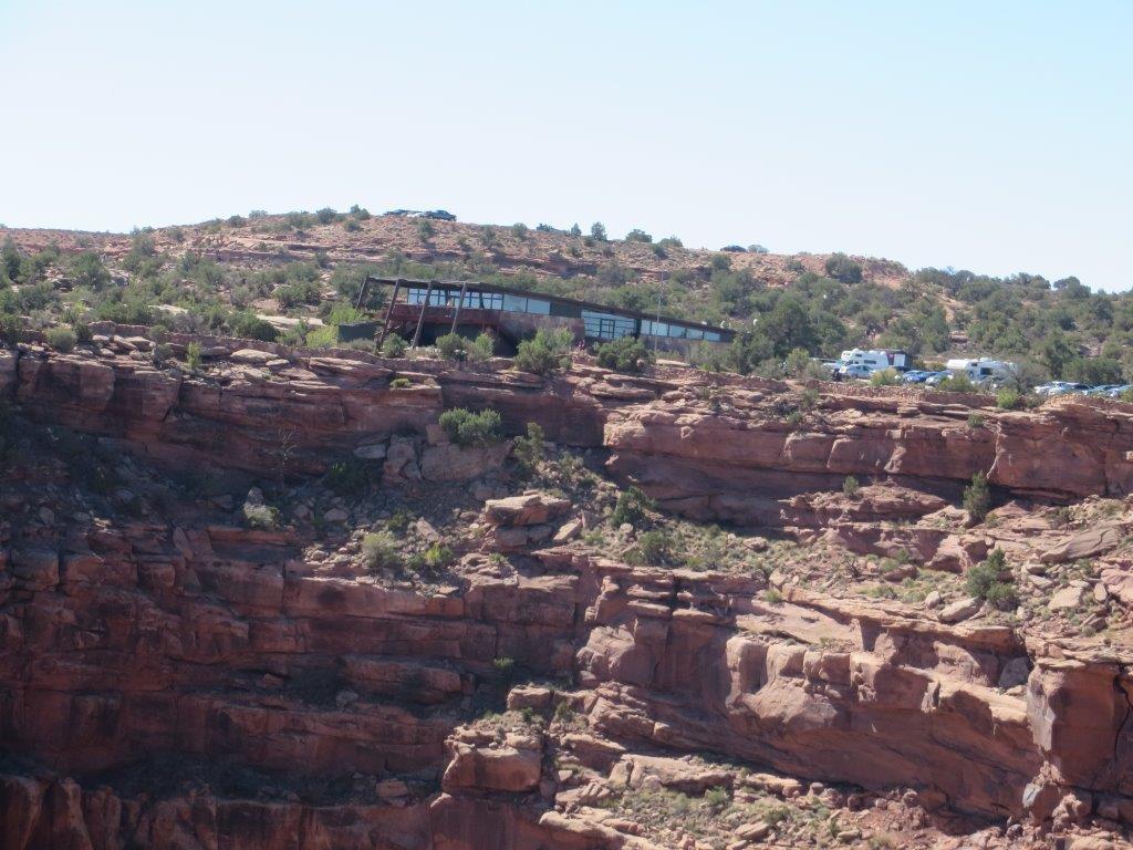
We were glad we got to the park early since, with the National Parks still closed that day, this state park was the destination of the day for many vacationers.
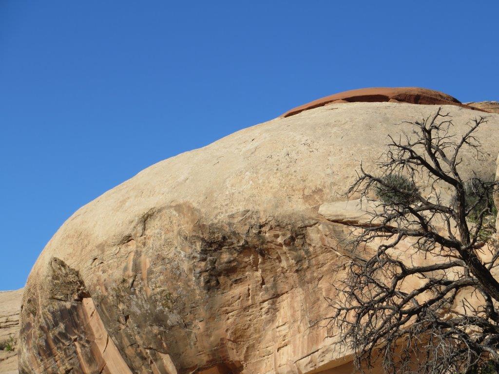
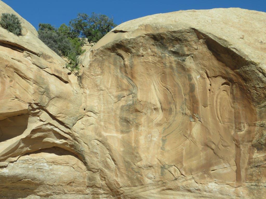
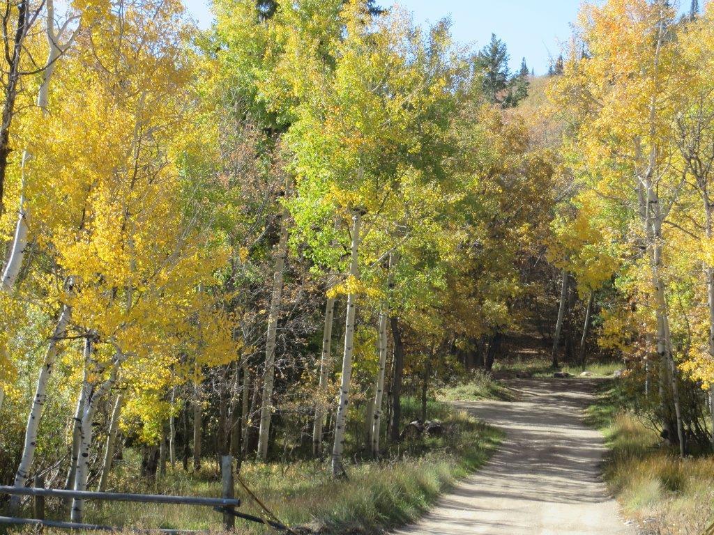
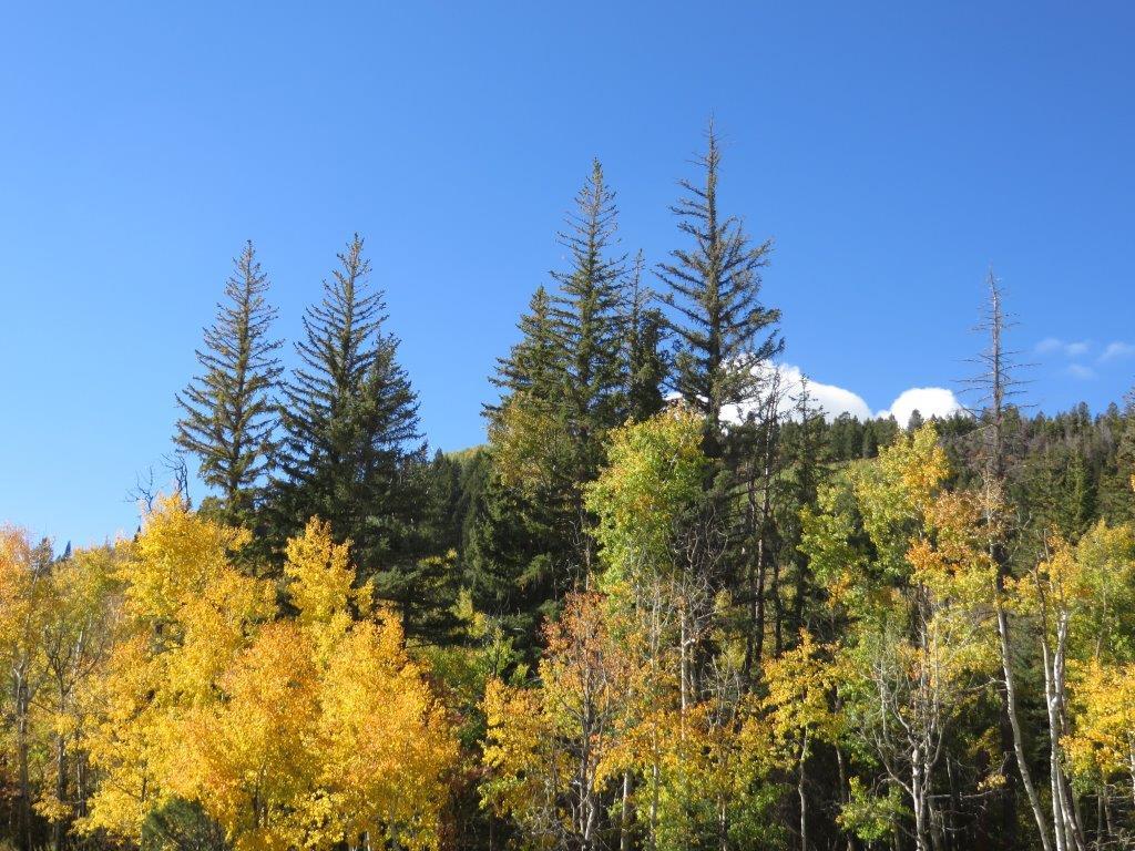
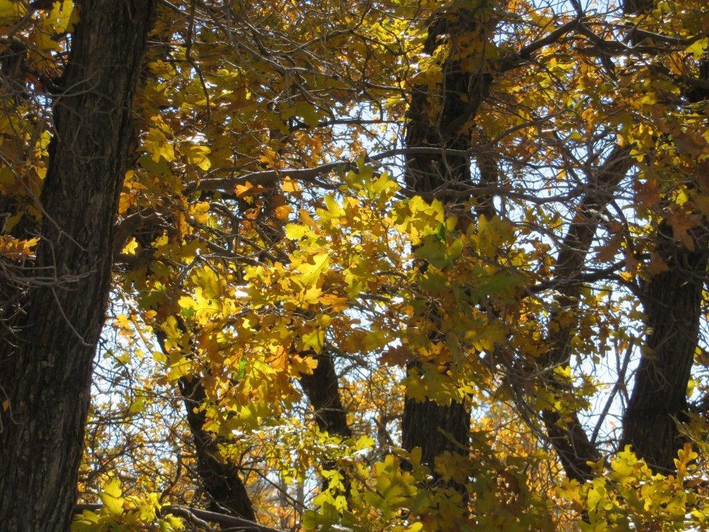
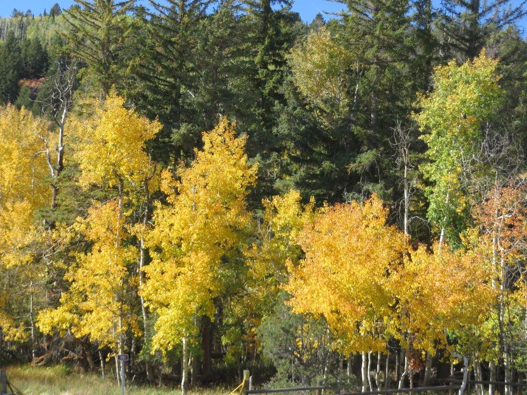
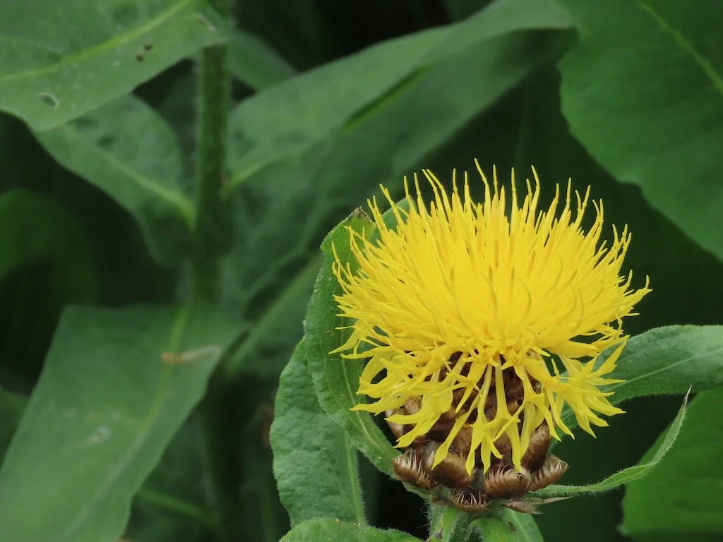
Enjoy the slide show of Dead Horse Point State Park sights!